 Cre8Travel
CRE8TRAVEL · NEW YORK PLACES
Tug Hill State Forest
Tug Hill State Forest: A Closer Look
Discover
Inman Gulf gives Tug Hill State Forest a dramatic northern edge. The canyon drops between 200 and more than 300 feet, with trails following the high ground above it. Across the gulf, Rainbow Falls drops about 100 feet. Keep those two measurements separate: the canyon and the waterfall are different features, each contributing to a landscape whose scale is easiest to appreciate from an appropriate established viewing position.
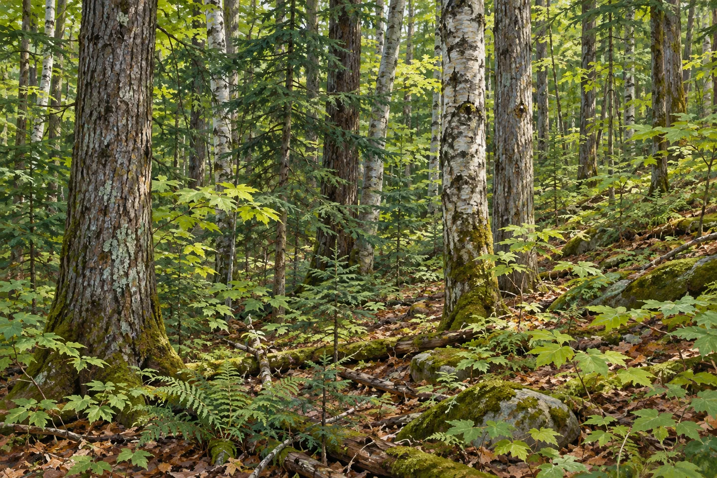
The forest covers 12,242 acres entirely on the Tug Hill Plateau, extending through Rodman and Worth in Jefferson County and Pinckney in Lewis County. Severe winters and heavy snow are central to its character. The woodland includes northern hardwoods, conifer plantations and open wetlands, giving the plateau setting more variety than the canyon alone suggests. A visit can focus on the forest itself as well as a gulf view.
John Young's, Oak Rim and Inman Glide are the named trails following the top of the gulf for 4.6 miles in total. Choose a route using the current map and trail designations, rather than treating the combined distance as one straightforward loop. The gulf's cliffs are a reason to stay on the established approach, not a challenge to find a closer angle. There is no need to descend toward Rainbow Falls to appreciate its place across the canyon.
The John Link Trail provides a different option: a 0.3-mile one-way route to a viewing area from the Williams Road trailhead. The New York State Department of Environmental Conservation (DEC) identifies it as wheelchair accessible, with a compacted stone surface and a maximum slope of 10 percent. Assess that particular route against your own needs and present conditions; the feature's description does not apply to every path across the wider forest.
Other map figures tell other parts of the story. More than 16 miles of graveled forest roads provide access, while the Barnes Corners cross-country ski system accounts for 13.2 miles of winter routes. These are not interchangeable measurements of a single walking network. For an outing on foot, let the route designation and current map guide the choice, especially where public roads or different trail uses come together.
Parking also varies with the approach. DEC lists eight maintained parking locations, including a plowed Route 177 lot and an unplowed John Link lot. Winter conditions can therefore change the practicality of a route before the walk even begins. Check the chosen access point rather than relying on the general fact that the state forest is a recreation destination. The plateau's snow is part of its identity and part of planning around it.
The Tug Hill North Unit Management Plan provides the wider management framework. Follow posted rules and Leave No Trace guidance, keeping to established routes at the gulf. For photographs, a considered frame can show forest in the foreground and the canyon beyond, without approaching an edge or promising the waterfall will be visible in every condition. Tug Hill offers both a large working-forest setting and a striking landform; give the route you choose enough time to reveal that relationship.
Fun facts
- Tug Hill State Forest covers 12,242 acres entirely on the Tug Hill Plateau.
- Inman Gulf is 200 to more than 300 feet deep; Rainbow Falls drops about 100 feet.
- John Young's, Oak Rim and Inman Glide trails follow the gulf top for 4.6 miles combined.
- The John Link Trail is 0.3 mile one way to a viewing area and is identified by DEC as wheelchair accessible.
- Parking provisions include both plowed and unplowed lots.
Before you go
- Choose a route from current maps and trail designations.
- Stay on established routes above Inman Gulf and do not descend toward the waterfall.
- Assess the John Link route and present conditions against your own access needs.
- Do not confuse forest-road mileage with the ski-system or gulf-top trail mileage.
- Check the specific parking approach, including winter plowing status.
Capture
- From an established viewing position, frame the canyon with forest rather than approaching the edge.
- If Rainbow Falls is visible during the visit, place it within the opposite canyon side; no close approach is needed.
- Compare hardwood, planted conifer and wetland textures where visible along the chosen route.
 Sears Pond State Forest
 Sonyea State Forest
 Brookfield Railroad State Forest
Social
Tug Hill State Forest covers 12,242 acres entirely on the Tug Hill Plateau. #Cre8Travel
Inman Gulf drops 200 to more than 300 feet; Rainbow Falls across the gulf is about 100 feet tall. #Cre8Travel
John Young's, Oak Rim and Inman Glide follow the top of Inman Gulf for a combined 4.6 miles. #Cre8Travel
John Link Trail is 0.3 mile one way to a viewing area, with a compacted stone surface and a specific accessible design. #Cre8Travel
Tug Hill's forest-road, ski-system and gulf-top trail mileages describe different networks. Use the right map. #Cre8Travel
Route 177 parking is plowed; the John Link lot is unplowed. Check the specific approach before a winter visit. #Cre8Travel
Northern hardwoods, conifer plantations and open wetlands add to Tug Hill's character beyond the canyon. #Cre8Travel
At Tug Hill, choose an established view and let the gulf's scale speak for itself. There is no need to approach an edge. #Cre8Travel
Hashtags