 Cre8Travel
CRE8TRAVEL · NEW YORK PLACES
Sears Pond State Forest
Sears Pond State Forest: A Closer Look
Discover
The pond in Sears Pond State Forest's name belongs to an industrial past. A large sawmill impoundment once stood on the East Branch of the Deer River, held by a wooden dam that has long since disappeared. Only remnants of the former structure and waterbody remain. That distinction is a useful starting point: arrive interested in a landscape with history, rather than expecting a large existing pond and a maintained waterside circuit.
The forest covers 5,648 acres in Montague, Lewis County. Parts of both the Deer River and the Mad River arise within its rolling expanse. Those headwaters give water a continuing role in the story, even though the named impoundment has gone. Consider the difference between water moving through a forest and water once held back for a sawmill. The two ideas belong to different chapters of the same place.
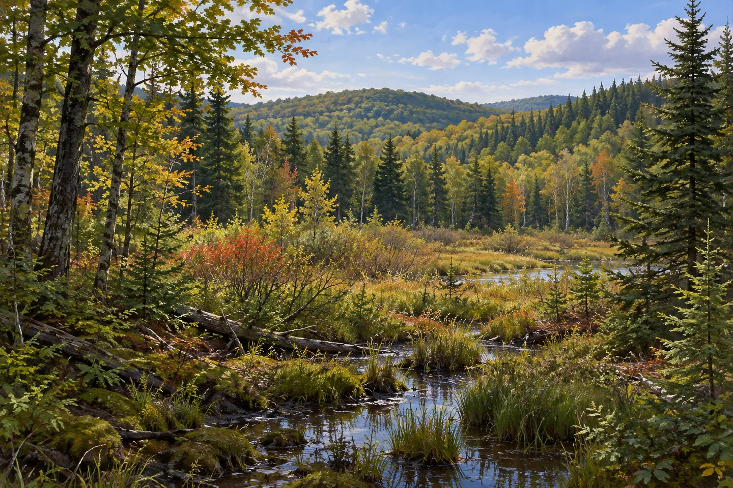
The woodland is not uniform. Some old fields were planted with softwoods, while the rest of the property is described as a fairly even mixture of natural hardwoods, brushland and wetlands. Keep that division in mind when looking across the landscape from your chosen approach. Planted fields and natural woodland offer different ways to think about how trees occupy the land; brush and wet ground make the picture broader than forest canopy alone.
Poor soils are another part of the character described by the New York State Department of Environmental Conservation (DEC). The trees on much of the property reflect those growing conditions. An interesting forest does not have to be an exhibition of exceptional timber. Smaller details, such as changes in vegetation structure or a contrast between wooded and brush-covered ground, can provide a reason to pause without inventing a rare species or an unusually large tree.
Two unpaved parking references appear in DEC's visitor information: Culpepper Road and Sears Pond. Match the location to the property map and the approach you intend to use before setting out. The broad acreage is not a walking itinerary, and the historic pond name should not be used to infer a modern dam trail. Choose a visit that fits the actual public access rather than trying to connect imagined landmarks across the forest.
Management follows the Tug Hill North Unit Management Plan. It places the forest within a wider framework for public land, while the local story remains distinctive: headwaters, poor-soil woodland, planted old fields and a vanished millpond. For photographs, consider how vegetation layers occupy a scene you can reach appropriately. If water is visible, let its actual setting guide the composition; there is no need to reconstruct the lost impoundment as if it were still present.
Follow posted rules and Leave No Trace guidance, and check the approach and conditions for the outing you plan. A historical remnant is not an invitation to leave an established route or search for a structure in uncertain terrain. Sears Pond offers a way to think about how a place name can outlast the feature that gave rise to it. The forest's rolling land and waterways continue the story, while the old sawmill connection gives that landscape a particular past.
Fun facts
- Sears Pond State Forest covers 5,648 acres in Montague, Lewis County.
- The name refers to a former sawmill impoundment on the East Branch of the Deer River.
- The wooden dam has disappeared, leaving remnants of the former structure and waterbody.
- Parts of the Deer River and Mad River arise within the forest.
- Planted old fields sit alongside natural hardwoods, brushland and wetlands.
Before you go
- Do not plan around a large existing millpond or intact wooden dam.
- Match the Culpepper Road or Sears Pond parking reference to your intended approach.
- Use the property map rather than inventing a route from the forest name.
- Check present access and conditions before visiting.
- Follow posted rules and Leave No Trace guidance.
Capture
- Study the contrast between wooded and brush-covered ground where visible from your approach.
- If water is visible at an appropriate position, photograph its actual setting rather than implying an existing millpond.
- Use vegetation layers as a composition subject without searching for historic remnants off an established route.
 Sand Bay State Forest
 Tug Hill State Forest
 Sonyea State Forest
Social
The pond in Sears Pond State Forest's name was a sawmill impoundment. Its wooden dam has long since gone. #Cre8Travel
Sears Pond State Forest covers 5,648 acres in Montague, Lewis County. #Cre8Travel
Parts of both the Deer River and Mad River arise in Sears Pond State Forest's rolling landscape. #Cre8Travel
Old fields planted with softwoods add one element to Sears Pond's mixture of hardwoods, brushland and wetlands. #Cre8Travel
Poor soils are part of Sears Pond State Forest's growing conditions. Interesting woodland need not mean exceptional timber. #Cre8Travel
Culpepper Road and Sears Pond are separate unpaved parking references in DEC's visitor information. #Cre8Travel
A place name can outlast the feature that inspired it. At Sears Pond, that is part of the story. #Cre8Travel
Would the vanished millpond or the continuing headwaters draw your attention at Sears Pond State Forest? #Cre8Travel
Hashtags