 Cre8Travel
CRE8TRAVEL · NEW YORK PLACES
Trout River State Forest
Trout River State Forest: Two Trails off Poplar Street
Discover
Trout River State Forest offers a straightforward starting point for choosing a woodland walk: two color-identified routes off Poplar Street. The 635-acre property lies in Constable, Franklin County, with the trails concentrated in its northern section. Limited developed amenities keep the focus on the paths, the river connection and a manageable plan for the time you want to spend outdoors.
The yellow trail begins on the west side of Poplar Street and runs toward the Trout River before looping back. DEC lists its length as 0.88 mile. For someone interested in the relationship between woodland and water, that riverward route supplies a specific reason to choose it. Use the current map to locate the trail and understand the loop rather than inferring a waterside promenade from the forest's name.
The red route starts east of Poplar Street and heads northeast for 0.43 mile. It then loops back for an additional 0.47 mile, crosses Poplar Street and reconnects with the yellow trail. Those figures describe two parts of the red route, making approximately 0.90 mile in total. Treating 0.43 mile as the complete loop would leave out the return connection and give a misleading idea of the walk.
The road crossing is also worth noticing when reading the map. The two routes begin on different sides of Poplar Street, and their connection makes route choice more important than simply following the first color seen. Decide whether you intend one loop or a combination, identify your return and check current conditions. Short mileage can make a walk manageable without establishing an accessible surface or a particular level of difficulty for every visitor.
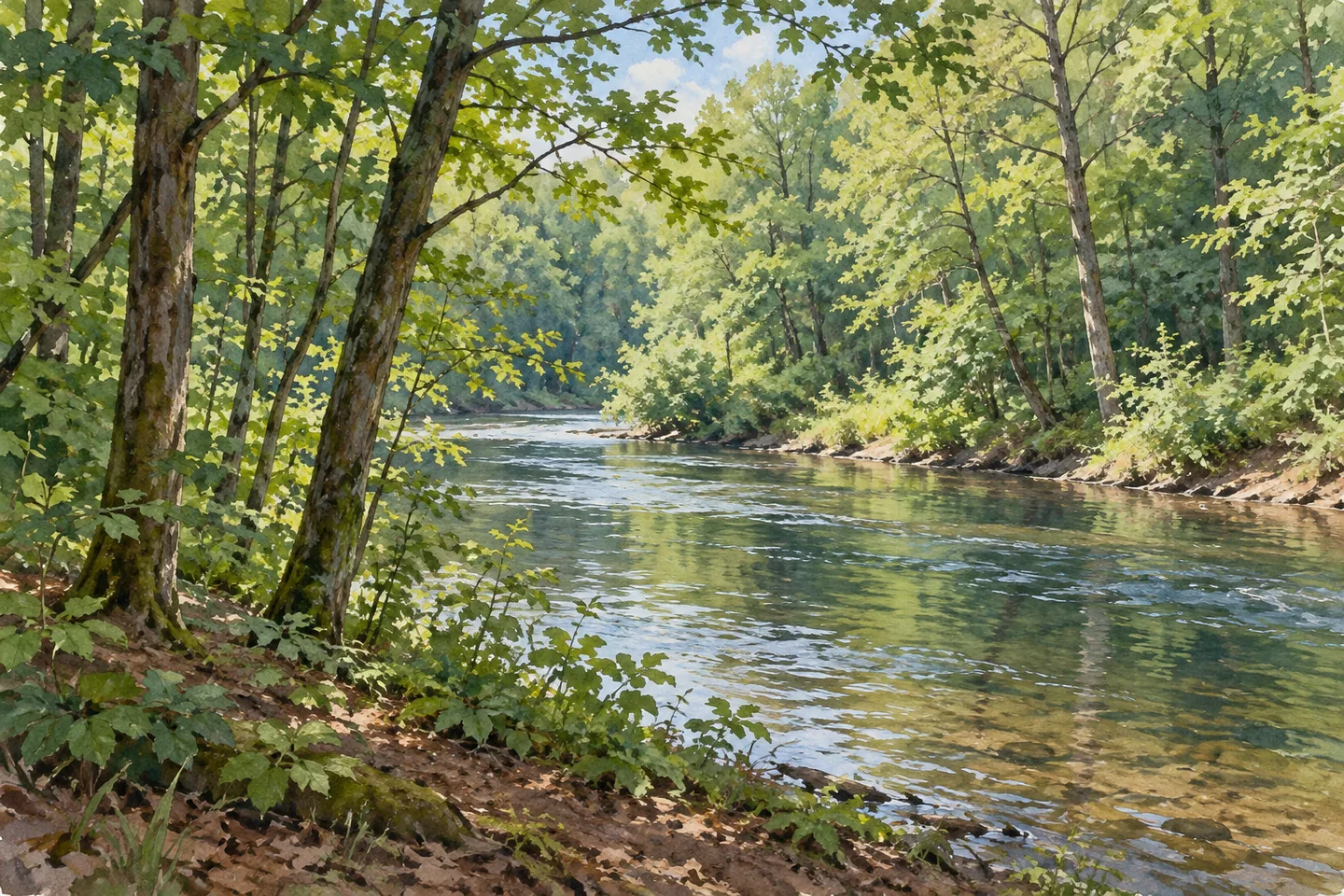
The yellow trail provides access to the Trout River for fishing according to DEC. Anyone planning to fish should consult current regional and species rules and confirm the permitted access for the intended spot. For a walking visit, water can remain a visual focus rather than an activity requirement. Where the river is appropriately visible, look at the relationship between its surface and surrounding vegetation without leaving the permitted route to arrange a photograph.
Primitive camping is allowed under 150-foot setbacks from roads, trails and water. Stays longer than three nights or groups of ten or more need a Forest Ranger permit. Review current rules before an overnight outing and plan independently for the limited development. A forest that permits primitive camping is a different proposition from an assigned campground site with established services.
The property is managed for water-quality protection, recreation, wildlife habitat and timber production. These purposes supply context for public woodland, but the agency's description does not establish a particular plantation, tree species or harvesting operation beside either trail. Let the vegetation you actually find shape your attention. A wider trail scene and a closer detail of bark, leaves or water texture can make a useful photographic pair.
The documented approach from Constable uses Route 30, Davenport Drive and Poplar Street to the parking area. Check the current map and access before departure, follow Leave No Trace and respect other lawful users. Malone is identified for amenities, with Deer River and Titusville Mountain state forests among nearby options. For Trout River itself, the two routes are enough to organize a focused outing: choose a color, read its complete distance and give the woodland details time.
Fun facts
- The forest covers 635 acres in Constable, Franklin County.
- The yellow route begins west of Poplar Street and is 0.88 mile long.
- The red route comprises 0.43 mile out and 0.47 mile back, approximately 0.90 mile in total.
- The red route crosses Poplar Street to reconnect with the yellow trail.
- The yellow trail provides access to the Trout River.
Before you go
- Use the current map to choose one route or a combination before starting.
- Count both sections of the red route when planning its distance.
- Pay attention to the Poplar Street crossing and your return connection.
- Check current fishing requirements and actual access before selecting an angling location.
- Review primitive-camping setbacks and ranger-permit thresholds before staying overnight.
Capture
- Use the yellow trail’s river connection to look for a water-and-vegetation composition from appropriate access.
- Try a wider woodland-route frame paired with a close tree or leaf detail.
- Let actual conditions determine the image without promising autumn color, mossy rocks or a particular tree mix.
 Deer River State Forest
 Rockwood State Forest
 Bearpen Mountain State Forest
Social
Trout River State Forest covers 635 acres in Constable, Franklin County. Two northern routes off Poplar Street organize a woodland walk. #Cre8Travel
Trout River’s yellow trail starts west of Poplar Street, reaches toward the river and loops back. DEC lists it at 0.88 mile. #Cre8Travel
The red route at Trout River is not just 0.43 mile: its 0.43-mile outward section is followed by another 0.47 mile returning to the yellow trail. #Cre8Travel
The red route crosses Poplar Street to reconnect with the yellow trail. Read the current map and identify the return before choosing a combination. #Cre8Travel
The yellow route provides Trout River access for fishing. Check current requirements and the permitted access for the spot you intend. #Cre8Travel
Trout River permits primitive camping under the applicable setbacks and ranger-permit rules. Plan around limited development rather than campground services. #Cre8Travel
Timber, water protection, habitat and recreation all feature in Trout River’s management purpose. Let the actual woodland guide your observations. #Cre8Travel
At Trout River, choose a route color and give small details time. Would you frame the path, the water or one close tree texture? #Cre8Travel
Hashtags