 Cre8Travel
CRE8TRAVEL · NEW YORK PLACES
Bearpen Mountain State Forest
Bearpen Mountain State Forest: A Visitor Guide
Discover
Bearpen Mountain State Forest requires a different sort of preparation from a park with a signed walking circuit. Its 2,848 acres extend across Greene and Delaware Counties in the northern Catskills, along the Bearpen Range. The property includes land in Roxbury, Prattsville, Lexington and Halcott. Check the full name when searching: Bearpen Mountain State Forest is a separate destination from Bear Mountain State Park.
Most of the state forest land was acquired between the 1930s and 1950s. DEC manages it for timber on a scientific basis alongside wildlife, recreation and watershed protection. That history makes old forestry routes part of the setting. It also gives the forest a more specific identity than a claim that it is untouched wilderness. A walk here takes place in land with continuing public management purposes.
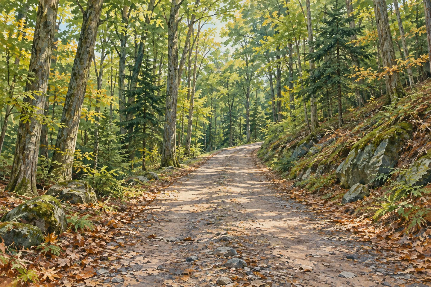
There are no designated hiking trails. Ski Run Road, a public forest access road, can be used by hikers, and several old skid trails provide other walking possibilities. The road offers a named corridor to locate on the official map; the skid trails require their own navigation decisions. Do not assume that every branching track leads toward your destination or that following one downhill will return you to the same starting point.
The official directions describe an approach from Heisinger Road after County Route 2 and Don Irwin Road. Near the end of Heisinger Road, a steel gate marks the access on the left, roughly 50 feet before the road ends. DEC directs visitors to roadside parking and specifically says to leave the driveway at the end clear. Treat that instruction as part of arrival planning, rather than expecting a developed trailhead lot with guaranteed space.
The retained directions describe Heisinger Road as plowed in winter. That is useful background, but it cannot establish the road surface, parking availability or weather on your travel date. Check current conditions before relying on a winter approach. Ski Run Road also carries a designated snowmobile trail, so a winter visit can involve other users. Permission to snowshoe or ski does not make an unmaintained route a groomed recreation facility.
The same distinction applies in other seasons. Hiking, mountain biking and horseback riding are allowed on the property, but DEC lists no designated trails or maintained areas for those activities. Choose an outing suited to your navigation skills and equipment. A forest road on a map does not by itself establish an accessible route, a difficulty grade or a safe destination for every visitor.
Primitive camping is permitted, although there are no designated campsites. A dispersed site must be at least 150 feet from a road, trail or water. Stays longer than three nights and groups of ten or more require a Forest Ranger permit. Make the camping decision before arriving, with the boundary map and current rules available, rather than turning any convenient clearing into a planned campsite.
For food, fuel, lodging and supplies, DEC points visitors toward communities including Prattsville, Grand Gorge, Stamford, Windham, Hunter and Tannersville. Use those services to prepare for the forest portion of the day. Bearpen's appeal can be as straightforward as spending time along a mapped woodland road and paying attention to the changing shape of the land. No promised animal encounter, fixed snow conditions or uninterrupted solitude is needed to give that walk a purpose.
Fun facts
- Bearpen Mountain State Forest covers 2,848 acres across Greene and Delaware Counties.
- Most lands were acquired from the 1930s through the 1950s.
- Ski Run Road is a public forest access road used by hikers and a designated snowmobile corridor.
- No designated hiking trails or campsites are listed.
Before you go
- Carry the current forest map and do not rely on unsigned skid trails for navigation.
- Leave the driveway at the end of Heisinger Road clear.
- Check winter road and weather conditions before departure.
- Use current dispersed-camping rules and obtain a permit when required.
Capture
- Photograph the woodland road from a safe position clear of other users.
- Try a close woodland composition instead of expecting a summit panorama.
 Rockwood State Forest
 Cairo Lockwood State Forest
 Huntersfield State Forest
Social
Bearpen Mountain State Forest spans two counties in the northern Catskills. Check the full name when planning. #Cre8Travel
Hikers can use Ski Run Road at Bearpen; DEC lists no designated hiking trails. #Cre8Travel
Most Bearpen state-forest acquisitions date to the 1930s–1950s. #Cre8Travel
The Heisinger Road approach requires leaving the end-of-road driveway clear. #Cre8Travel
Ski Run Road is also a designated snowmobile corridor. Plan for shared winter use. #Cre8Travel
Bearpen permits primitive camping but has no designated campsites. Check the rules before choosing a site. #Cre8Travel
Permission to ride, ski or snowshoe at Bearpen does not mean maintained activity trails. #Cre8Travel
A mapped woodland road can be the focus of a Bearpen outing without a promised wildlife sighting. #Cre8Travel
Hashtags