 Cre8Travel
CRE8TRAVEL · NEW YORK PLACES
Rockwood State Forest
Rockwood State Forest: A Visitor Guide
Discover
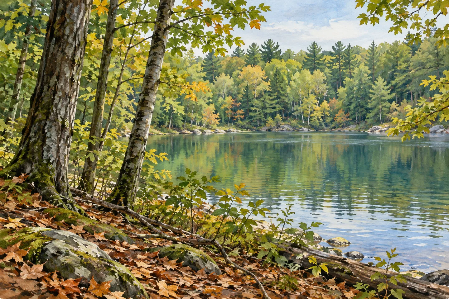
Rockwood State Forest gives a woodland outing two different directions: follow its land routes or carry a small boat toward Rockwood Lake. The 856-acre property lies near the village of Rockwood, in the Fulton County towns of Ephratah and Johnstown. Its lake access, hiking paths and old logging roads make it worth studying the map before deciding which entrance suits your plans.
The hiking network includes 1.69 miles of hiking trails, with several additional miles of marked multi-use trails across the property. Those are different categories, so 1.69 miles should not be read as the length of every route combined. Old logging roads are also part of the landscape. They offer an interesting way to think about working forest land, without turning every stump or track into a surviving historical artifact.
For a lake visit, the key approach is the end of Cemetery Road. From the parking area, a 270-foot path descends to the shore, where visitors may hand-launch non-motorized boats. Carrying the boat is part of the plan: this is a path to a hand launch, rather than a trailer ramp. Consider the weight of your equipment and the return carry before setting out, and check conditions at the shoreline before launching.
Rockwood Lake also provides the forest's main fishing opportunity. Consult current freshwater fishing regulations for your intended activity instead of assuming that the presence of lake access makes every method or season permissible. A shoreline photograph can be a simpler alternative to getting on the water. Frame the lake from a safe position where you can leave room for other people carrying boats along the approach.
Overnight options are primitive. DEC lists three campsites: the Cemetery Road sites are in the northern portion near Rockwood Lake, while the Spring Road site is in the southern half. At-large camping is also allowed under state-land rules. A dispersed site must be at least 150 feet from a road, trail or water, and a Forest Ranger permit is required for stays longer than three nights or groups of ten or more. Check the map and current rules when choosing between a designated site and a dispersed location.
Route 29 divides the forest, which matters for both arrival and seasonal planning. An unpaved horse-trailer parking area is on its south side. Horseback riding occurs here, but DEC says the trails are not maintained for that use; the existence of trailer parking does not guarantee an equestrian-ready surface. The road is also the boundary between the North and South Hunting Zones, producing different hunting seasons within one forest. Consult the relevant season information for the section you intend to visit.
The land has several management purposes: recreation, wildlife habitat, water-quality protection and timber production. That combination is a useful lens for the visit. A logging road need not mean the forest has ceased to be managed, and a wooded shoreline need not imply untouched wilderness. Look at the present landscape without inventing a transition from industrial use to permanent nonintervention.
Gloversville and Johnstown are the communities DEC identifies for food, supplies, dining and lodging. Arrange those needs before starting your walk or boat carry. With the entrance, activity and return route chosen in advance, Rockwood becomes a more understandable place: a forest with distinct land and water access, rather than one generic trailhead for every visit.
Fun facts
- Rockwood covers 856 acres in Ephratah and Johnstown.
- DEC lists 1.69 miles of hiking trails plus additional marked multi-use routes.
- A 270-foot path from Cemetery Road reaches the non-motorized hand launch.
- Route 29 separates two hunting zones within the forest.
Before you go
- Choose the Cemetery Road approach for the lake hand launch.
- Plan to carry your boat along the 270-foot access path.
- Horse trails are not maintained for riding despite the trailer parking area.
- Check the correct hunting-zone season for your section.
Capture
- Photograph the lake from a safe shore position without obstructing boat carriers.
- Use an existing trail as a leading line through the woodland.
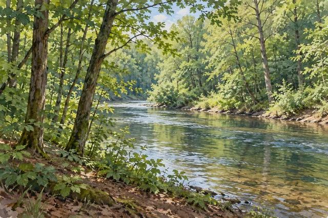 Trout River State Forest
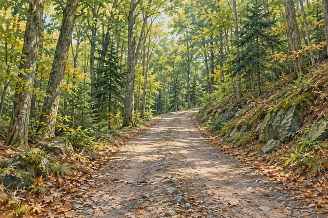 Bearpen Mountain State Forest
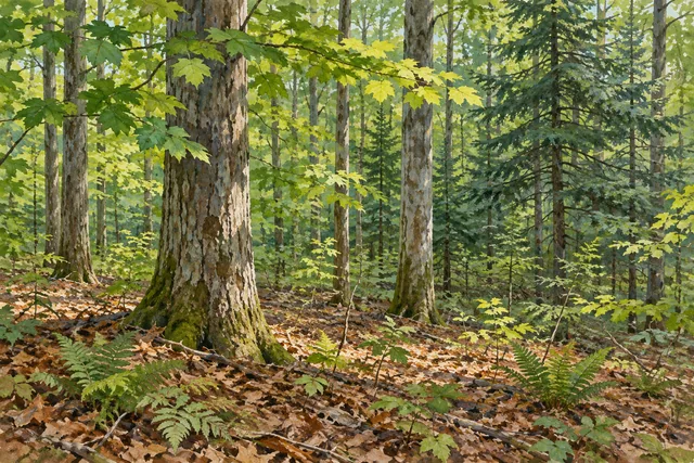 Cairo Lockwood State Forest
Social
Rockwood State Forest combines 856 acres of Fulton County woodland with access to Rockwood Lake. #Cre8Travel
The 270-foot Cemetery Road path reaches a hand launch for non-motorized boats. Plan the carry both ways. #Cre8Travel
Rockwood has 1.69 miles of hiking trails plus additional marked multi-use routes. Choose your route on the map. #Cre8Travel
Three primitive campsites lie in the northern and southern parts of Rockwood State Forest. #Cre8Travel
Route 29 divides Rockwood into different hunting zones. Check the appropriate seasonal information. #Cre8Travel
Horse-trailer parking does not mean maintained riding trails: DEC flags that distinction at Rockwood. #Cre8Travel
Rockwood is managed for recreation, wildlife habitat, water-quality protection and timber production. #Cre8Travel
Need supplies for Rockwood? DEC identifies Gloversville and Johnstown as nearby service communities. #Cre8Travel
Hashtags