 Cre8Travel
CRE8TRAVEL · NEW YORK PLACES
Taylor Creek State Forest
Taylor Creek: Thirteen Parcels and a Million-Tree Beginning
Discover
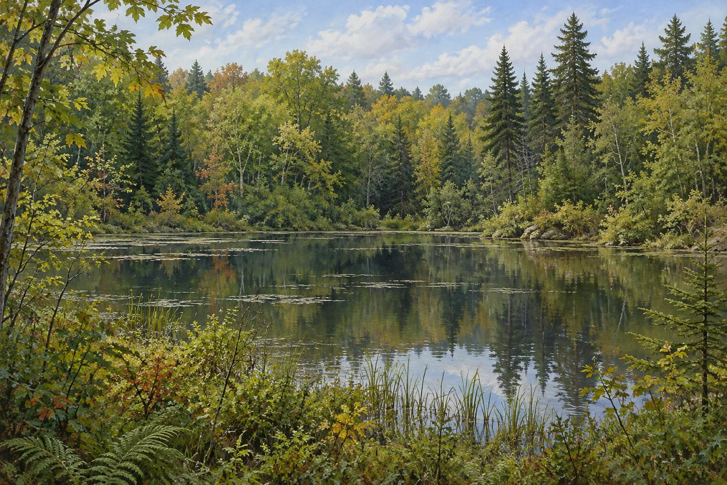
Taylor Creek State Forest has a history that can be counted in parcels, years and seedlings. The 1,860-acre public holding in Pierrepont, St. Lawrence County, consists of thirteen parcels acquired between 1932 and 1963. Eels Pond provides a water setting, while unpaved roads and trails offer access to a largely undeveloped forest. Behind the present woodland is a particularly substantial planting program, carried out when much of the acquired ground needed new tree cover.
The thirteen-parcel history is useful for understanding the scale of the place. The state did not acquire the entire forest on one day, and the land's earlier uses were not all identical. Former farm fields and pastures supplied ground for plantations, while natural woodland and wetter areas contributed other settings. Those different origins remain a better way to think about Taylor Creek than expecting one continuous stand of trees with the same age and arrangement.
Civilian Conservation Corps crews from Camp S-134 in Pierrepont undertook planting here between 1935 and 1941. They established more than 1,031,000 trees on 747 acres. White pine, red pine and white spruce were the principal species, but the list also included white cedar, Scotch and jack pines, several larches, white ash and hemlock. The range of species adds detail to the record: creating the forest involved choices about different trees, rather than simply planting every field in the same way.
Protection work accompanied the seedlings. Seven waterholes were built for fire control, and DEC's account identifies four as surviving in different states of preservation, including an example near Selleck Road. The historical purpose helps explain why such features were created. It does not turn them into a guaranteed interpretive circuit or establish their present condition on a particular day. Their role belongs to the story of caring for newly established woodland as well as planting it.
The ground supports several different vegetation patterns. Uplands contain northern hardwoods, hemlock and white pine, alongside the planted pine and spruce stands. Flatter areas support open wetlands and shrub swamps, with swamp hardwoods and white cedar where flooding occurs seasonally. Where visibility and appropriate access permit, notice how the forms of cover change. Differences in moisture and land-use history can be interesting subjects even when no animal is visible and no individual tree can be confidently identified.
Eels Pond gives an outing another possible focus. A hand launch for non-motorized boats is described opposite the parking area. Keep that specific access separate from assumptions about an extensive developed waterfront. Someone choosing a woodland walk may instead begin with the forest's 2.1 miles of unpaved roads and trails, using the current official map to select a route and return journey. The mileage describes access through the property, not a promised circular walk of that length.
Several road approaches serve the forest, including Eels, Buck Pond, Davis and Selleck roads and the T Public Forest Access Road. Select the approach for the intended objective rather than treating the road names as interchangeable destinations. Taylor Creek becomes more distinctive when those choices connect with its underlying story: parcels assembled over three decades, an extensive planting effort, protection work and different woodland communities around a modest water setting. A focused visit can notice those layers without trying to locate every historical feature.
Fun facts
- Taylor Creek’s thirteen parcels were purchased between 1932 and 1963.
- Camp S-134 crews planted more than 1,031,000 trees on 747 acres between 1935 and 1941.
- The planting list included pines, spruce, larches, white cedar, white ash and hemlock.
- DEC describes a hand launch for non-motorized boats at Eels Pond.
Before you go
- Use the current official map to match a road approach with one specific objective.
- Distinguish the total road-and-trail mileage from a single circular walking route.
- Keep historical waterholes and planting records separate from guarantees of current feature access or tree age.
Capture
- Compare visible plantation forms and mixed woodland without dating individual trees.
- At legitimate access, use water and vegetation at a pond margin as a composition subject.
- Compare a horizontal water-and-woodland composition with a vertical frame of shoreline vegetation from the same suitable public position.
 Stammer Creek State Forest
 Toothaker Creek State Forest
 Trout Lake State Forest
Social
Taylor Creek State Forest comprises thirteen parcels acquired between 1932 and 1963. #Cre8Travel
The 1,860-acre holding lies in Pierrepont, St. Lawrence County.
Between 1935 and 1941, Camp S-134 crews planted more than 1,031,000 trees on 747 acres.
Pines and spruce were central to a species list that also included larches, ash and hemlock.
Waterholes formed another part of the early protection work.
Uplands, planted stands and wetter communities give the present woodland different forms.
Eels Pond provides a specific hand-launch setting for non-motorized boats.
Choose one mapped outing and notice how the parcels, trees and water contribute different chapters to the same forest.
Hashtags