 Cre8Travel
CRE8TRAVEL · NEW YORK PLACES
Stammer Creek State Forest
Stammer Creek: A Small Forest with a Logging-River Story
Discover
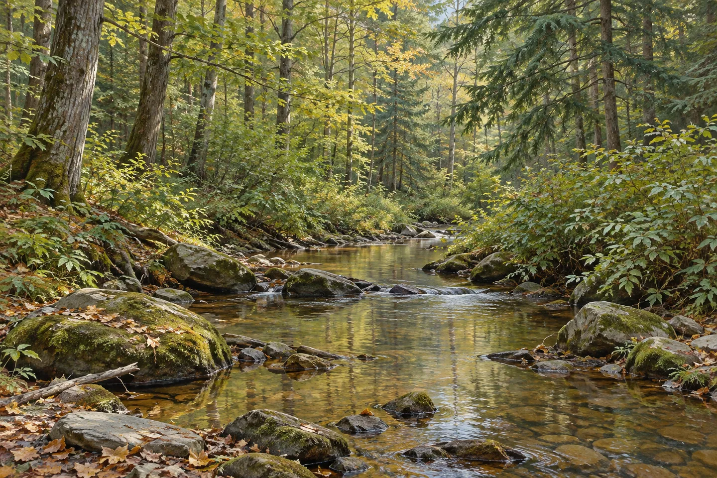
Stammer Creek State Forest occupies 460 acres in Edwards, St. Lawrence County, but its story reaches beyond the present woodland boundary. The creek once formed part of a timber-moving system connected with the Oswegatchie River. Later planting established a different kind of forestry chapter on former agricultural ground. Today, a named multiple-use route provides a way to approach a landscape of mixed woodland and wetter areas, with several distinct histories beneath its trees.
DEC's account recalls Freeman Stammer working on log drives along the creek in the 1870s. The history draws on an article published in the St. Lawrence County Historical Association's newsletter in October 1966. That attribution matters: it is a documented retrospective account of the area's working past, rather than a visitor's observation of an operating system. The present forest can be appreciated with that history in mind without expecting to find an intact industrial installation.
Splash dams were used along the creek to help move timber downstream. Wood traveled toward the Oswegatchie River south of Edwards and ultimately to a sawmill at Natural Dam. The route gives the creek a role in a wider landscape of work and transport. It also distinguishes historical use from modern recreation. A watercourse once used for moving logs is not, for that reason alone, an invitation to follow its banks or attempt a boating journey today.
The later planting record is unusually specific. More than 157,000 trees were planted on 190 acres between 1965 and 1998. Species included Scotch, red and white pines, Japanese larch, white and Norway spruce, and balsam fir. The acreage describes the planted part of the property, not all 460 acres. Together, the dates and species list show a program spread over several decades, rather than one single planting event that can date every conifer now visible.
The resulting woodland belongs to a varied setting. Uplands carry northern hardwoods, hemlock and white pine, with plantations on former fields and pastures. Flatter ground supports wetlands and shrub swamps, grading into swamp hardwoods and white cedar where flooding occurs seasonally. Look for changes in vegetation where visibility and appropriate access allow them. Their different forms offer a subject even when the animals associated with those habitats remain unseen.
For a defined route, the Sugar Bush Haul Road runs 1.11 miles and carries orange markers. It is maintained as a snowmobile trail and can also serve other permitted uses for exploring the property. DEC describes winter maintenance by the St. Lawrence County Snowmobile Association under a stewardship agreement. That is specific to the route and activity; it does not mean that every trail is groomed for skiing or that the network forms a walking loop of the same length.
The official parking reference lies off Route 58. Choose the intended outing with the current property map and keep the creek's historical connections separate from the chosen public route. Stammer Creek's scale makes its layers especially approachable: a watercourse linked to nineteenth-century log drives, former farm ground planted during the later twentieth century, and present woodland of several kinds. A focused visit can consider those relationships without searching for a surviving mill, a reconstructed dam or a single landmark tree.
Fun facts
- Stammer Creek State Forest covers 460 acres in Edwards, St. Lawrence County.
- More than 157,000 trees were planted on 190 acres between 1965 and 1998.
- The orange-marked Sugar Bush Haul Road is 1.11 miles long.
- DEC’s historical account connects Freeman Stammer with log drives on the creek in the 1870s.
Before you go
- Use the current official map to relate the Route 58 parking area to the intended route.
- Keep the historic log-driving system separate from present public water or walking access.
- Treat the planting acreage and route mileage as specific features rather than the extent of the entire forest.
Capture
- Compare visible planted conifers and mixed hardwoods without assigning a date to individual trees.
- Observe wetland vegetation from appropriate ground rather than searching for unverified historical structures.
- Use soft light to compare the branch patterns of conifers and broadleaf trees from the selected public route.
 Fire-Fall State Forest
 Taylor Creek State Forest
 Toothaker Creek State Forest
Social
Stammer Creek State Forest brings several forestry histories into 460 acres. #Cre8Travel
DEC’s account recalls Freeman Stammer working on creek log drives in the 1870s.
Historical splash dams helped move timber toward the Oswegatchie River.
A later program planted more than 157,000 trees on 190 acres between 1965 and 1998.
Pines, spruce, Japanese larch and balsam fir were among the planted species.
Uplands, wetlands and former fields now support several forms of woodland.
The orange-marked Sugar Bush Haul Road supplies a specific 1.11-mile route.
Choose an outing with the current map. Which landscape layer interests you most: the creek’s working past or the later planting story?
Hashtags