 Cre8Travel
CRE8TRAVEL · NEW YORK PLACES
Shaker Mountain Wild Forest
Shaker Mountain Wild Forest: Choosing a Woodland Lake Walk
Discover
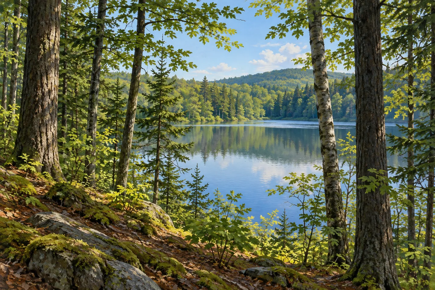
Shaker Mountain Wild Forest offers a varied collection of woodland lake walks in the southern Adirondacks. Its trails reach different waters through rolling forest and more pronounced climbs, making route choice an important part of the visit. Some approaches have a single clear destination; others connect lakes with longer journeys through the trees. The attraction lies in choosing one of those relationships and giving the forested approach as much attention as the water reached at its end.
Holmes Lake provides one of the shorter named approaches. Its trail extends 1.1 miles from the trailhead at the end of Holmes Road, climbing about 173 feet toward the lake. That combination gives a walking plan a straightforward focus: a defined woodland route, a water destination and a return along the same line. Allow time to notice changes in tree spacing and ground along the way, then pause where the lake becomes visible from appropriate access.
Stewart and Indian lakes make a different pairing. From the Kane Mountain trailhead parking area, their trail runs 2.3 miles to Indian Lake and passes Stewart Lake en route. It climbs about 460 feet during the first mile before becoming comparatively flat. The early rise and the sequence of two waters give this approach a different rhythm from Holmes Lake. Consider the individual route description when choosing the day, rather than assuming that nearby lake walks have similar terrain.
Chase Lake is approached from the end of Pinnacle Road. Its named trail extends 2.5 miles and descends about 170 feet toward the water. A designated tent site and a lean-to on the lake's shore add backcountry destinations to this part of the forest. For a daytime walk, the route supplies a clear outward-and-return plan. Give the arrival its own time, taking in the relation between water, wooded shore and the ground crossed during the approach.
Other trails connect those settings with a larger network. Sailor Swamp Trail runs two miles between Holmes Road and Pinnacle Road, with an elevation change of about 90 feet. Bellows Lake Trail extends 6.4 miles over rolling terrain, passing Irving Pond and Bellows Lake before joining the Holmes Lake Trail south of the lake. A separate, unmarked connection reaches Little Holmes Lake. These longer links show the breadth of the woodland system, with each requiring its own mapped plan and return arrangements.
Pinnacle Valley Trail has another character again. From its trailhead, it travels 3.2 miles toward County Line Lake, climbing about 895 feet over the first 2.8 miles on the shoulder of Pigeon Mountain before descending toward the lake. This is a more substantial ascent than the shorter Holmes approach. The contrast makes the forest particularly interesting to explore over several visits, with different routes revealing how water destinations sit within a varied landscape.
Check the current official map and notices before choosing an approach. Several trails support more than one activity, and winter travel depends on the actual conditions; the forest's hiking trails are not groomed ski routes. Keep the selected lake walk and return journey clear, leaving separate routes for another day. Shaker Mountain's woodland waters offer enough variety for a focused visit to feel complete: the changing ground, the sequence of trees and openings, and the moment when an inland lake becomes the center of attention.
Fun facts
- Holmes Lake Trail extends 1.1 miles from Holmes Road.
- The Stewart and Indian Lakes Trail passes two waters over 2.3 miles.
- Chase Lake Trail begins from the Pinnacle Road approach.
- Pinnacle Valley Trail climbs the shoulder of Pigeon Mountain toward County Line Lake.
Before you go
- Choose a particular lake approach and plan its return travel.
- Compare the actual climbs as well as distances when selecting a route.
- Check current maps, access notices and seasonal conditions before travelling.
Capture
- From the chosen route, use woodland layers to frame a lake when it comes into view.
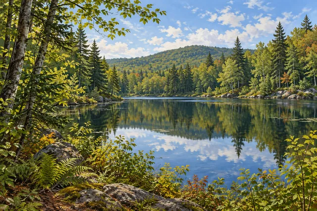
- Compare a water reflection with the broader relationship between shore and wooded slope.
- Use soft light to retain texture in both the trees and their reflections, keeping your composition within the chosen public approach.
 White Hill Wild Forest
 McCarren Park
 Monsignor McGolrick Park
Social
Shaker Mountain Wild Forest offers several woodland approaches to inland lakes. #Cre8Travel
Holmes Lake has a 1.1-mile named approach.
Stewart and Indian lakes share a route with an early climb.
Chase Lake supplies another distinct outward-and-return walk.
Sailor Swamp Trail connects Holmes Road and Pinnacle Road.
Pinnacle Valley Trail climbs toward County Line Lake.
Choose the actual route, its terrain and return plan before travelling.
Which would shape your day: a shorter lake approach or a longer woodland journey?
Hashtags