 Cre8Travel
CRE8TRAVEL · NEW YORK PLACES
White Hill Wild Forest
White Hill Wild Forest: Five Ponds and a Woodland Trail Network
Discover
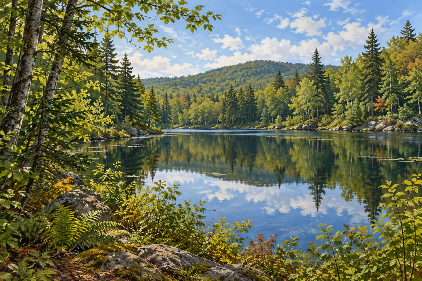
White Hill Wild Forest brings five inland ponds into a wooded Adirondack landscape in St. Lawrence County. Its 9,931 acres form a distinct part of the larger Raquette Boreal Complex, with several trail choices connecting water and forest. Clear Pond, Rock Pond, Little Rock Pond, Long Pond and Lilypad Pond give the unit a strong identity. An outing can concentrate on one water setting or follow a longer connection, with the approach through the trees becoming part of the experience.
Clear Pond offers a natural starting point for understanding the network. The Clear Pond Loop Trail extends 1.4 miles from its parking area around the shore. It shares 0.3 mile with the Long Pond Trail, so the map helps clarify where the two routes overlap. A pond circuit invites a gradual change of viewpoint. Look at the relation between open water and the wooded shore, allowing the direction of light and the visible vegetation to supply details along the way.
The Long Pond Trail gives a wider introduction to the unit. It extends 3.4 miles between a trailhead on the Goldmine Conservation Easement Tract and the Clear Pond parking area. Travelling from the Goldmine end, the route passes Lilypad Pond, Long Pond and Little Rock Pond before reaching Clear Pond. That sequence makes the trail a connection among several named waters. Each adds a different pause to a woodland journey, with the next pond giving the walk a continuing sense of direction.
The terrain deserves attention as well as the sequence of destinations. DEC describes a climb of about 300 feet in the first 0.6 mile from the Goldmine end, followed by a descent of similar size over the next mile. Smaller rises and falls characterize the remainder. Those changes help explain why the length of a trail alone does not fully describe the outing. Plan the starting point and return travel with the actual route profile in mind.
Rock Pond has another connection. Its trail leaves the Clear Pond Loop about 0.3 mile from the parking area and extends 2.2 miles toward Pickettville Road. This adds a different line through the forest network, suited to a separately planned walk rather than an automatic addition to the pond loop. The junctions make the map especially useful: one route follows a shore, another links several waters, and another connects toward a road approach.
Primitive camping gives some visitors more time in the setting. Clear Pond has four designated tent sites and one campsite along its shores, while Long Pond and Lilypad Pond each have a designated tent site. These are simple backcountry settings, with the ponds and surrounding woodland providing the main interest. A daytime walker can appreciate that character too, allowing time at a suitable public position to observe the meeting of water, low vegetation and trees.
Before travelling, check the current official map and access notices for the intended approach. The larger Raquette Boreal Complex includes both public land and privately owned easements with different rights; the Goldmine trailhead's location makes that distinction relevant to planning. Keep the selected route and its return clear. White Hill's appeal is the relationship among a set of ponds and the woodland between them, a landscape that rewards a deliberate choice and an unhurried look when water comes into view.
Fun facts
- White Hill Wild Forest contains 9,931 acres within the Raquette Boreal Complex.
- Its five named ponds include Clear, Rock, Little Rock, Long and Lilypad.
- The Clear Pond Loop is 1.4 miles long.
- Long Pond Trail connects several ponds over 3.4 miles.
Before you go
- Choose the starting point and return journey using the official map.
- Account for the early climb when approaching from the Goldmine end.
- Distinguish public forest routes from the differing rights on neighboring easements.
Capture
- Use the contrast between open water and wooded shoreline from suitable public access.
- Give a pond composition depth with low vegetation in the foreground.
- Begin with a wider view of water and woodland, then simplify the frame around reflections while staying at the selected public position.
 Willowemoc Wild Forest
 Shaker Mountain Wild Forest
 McCarren Park
Social
White Hill Wild Forest has five named ponds within 9,931 acres. #Cre8Travel
Clear Pond offers a 1.4-mile loop from its parking area.
Long Pond Trail links Lilypad, Long, Little Rock and Clear ponds.
The Goldmine approach includes an early climb and descent.
Rock Pond Trail supplies a separate connection toward Pickettville Road.
Primitive sites give some visitors longer to appreciate the woodland setting.
Use the map to choose the route and understand neighboring easements.
Would you circle one pond or plan a longer connection between waters?
Hashtags