 Cre8Travel
CRE8TRAVEL · NEW YORK PLACES
Rome Wildlife Management Area
Rome Wildlife Management Area: A Closer Look
Discover
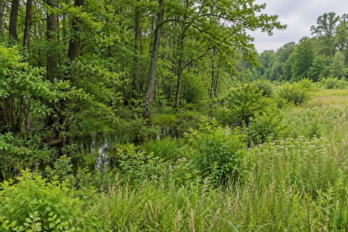
Rome Wildlife Management Area brings together wetland and former agricultural ground near the Barge Canal corridor. Much of the wider landscape was cleared and ditched for farming, and agriculture remains part of the surrounding setting. The New York State Department of Environmental Conservation (DEC) manages the WMA for wildlife, habitat and wildlife-dependent recreation. A visit can consider both that earlier land use and the different kinds of cover present now.
Forested wetland is a major part of the picture, extending across the WMA and surrounding private land. Keep those ownerships distinct: a continuous-looking woodland does not mean continuous public access. The wetland complex has importance for water quality and flood control in Rome, giving the landscape a wider role beyond providing a backdrop to an outing. Its value does not depend on an animal appearing during a particular visit.
Upland portions include successional shrubland, northern hardwoods, old fields, grassland and agricultural fields. Those categories give an observation-focused outing several possible subjects. Compare changing vegetation structure where it is visible from a designated route, rather than treating every field as the same kind of habitat. A woodland margin and a more open scene can belong to the same managed property while offering different visual textures.
Mowing is one method used to retain old-field and grassland habitat. DEC describes approximately 130 acres as targeted for that management, with resources allowing only parts to be mowed in some years. The figure is a management target, not the size of the whole WMA or an area guaranteed to be freshly cut when a visitor arrives. That distinction helps explain why maintaining open habitat can be an ongoing process.
Birds and other wildlife use the property, and DEC provides bird and vertebrate checklists as references. Use them for observations actually made instead of turning an outing into a guaranteed species list. The plants and the arrangement of cover can still make a considered subject. A photograph may focus on the relationship between field and forest without disturbing wildlife to bring an animal into the frame.
Railway boundaries are central to choosing an approach. The tracks are private property and must not be crossed. Land north of the railway is reached only through the Hoag Road parking area near the railway bridge overpass. Land south of the tracks has approaches from Route 365 or Hoag Road. Match the intended part to the correct public entrance before setting out; do not create a shortcut across the line.
Stay on designated trails to protect plant communities, follow posted conditions and include DEC's tick precautions in preparations. Hoag Road has more than one parking reference, so use the current WMA map rather than treating them as interchangeable starting points. The route should determine what is available to observe, not an assumption that every part of the wetland complex can be visited in one circuit.
The habitat management plan supplies the wider goals for these lands. Follow Leave No Trace guidance and leave vegetation undisturbed. Rome WMA's particular interest lies in a wetland landscape with agricultural history, active attention to open cover and very specific access boundaries. Let those elements work together in the plan for an outing, with the actual public route deciding the view.
Fun facts
- Rome WMA includes forested wetland beside the Barge Canal corridor.
- The broader wetland complex also includes private land.
- Upland cover includes shrubland, hardwoods, old fields, grassland and agricultural fields.
- About 130 acres are targeted for old-field management, with only portions necessarily mowed in a year.
- Railway tracks are private and must not be crossed; north-side entry uses the specified Hoag Road parking approach.
Before you go
- Use only the correct public approach for the side of the railway you intend to visit.
- Do not cross the private railway tracks.
- Stay on designated trails to protect plant communities.
- Do not mistake the 130-acre management target for total WMA acreage or guaranteed freshly mowed habitat.
- Follow posted rules, Leave No Trace guidance and DEC tick precautions.
Capture
- Compare open vegetation and woodland margins from a designated route.
- Let wetland forest texture be the subject without entering vegetation or crossing private boundaries.
- A habitat-focused photograph can stand alone without a close wildlife encounter.
 Popple Pond State Forest
 Swancott Hill State Forest
 Tri-County State Forest
Social
Rome WMA combines wetland forest and former agricultural ground near the Barge Canal corridor. #Cre8Travel
The wetland landscape continues onto private land. Continuous woodland does not mean continuous public access. #Cre8Travel
Shrubland, hardwoods, grassland and fields add different kinds of upland cover at Rome WMA. #Cre8Travel
About 130 acres are a management target for old-field habitat, not a guaranteed annual mowing total. #Cre8Travel
Rome WMA's railway tracks are private and must not be crossed. Use the correct public approach. #Cre8Travel
North-side access is through the specified Hoag Road parking area near the railway bridge overpass. #Cre8Travel
Stay on designated trails and let the actual public route determine the views available. #Cre8Travel
At Rome WMA, how would the agricultural history change the way you look at today's open fields? #Cre8Travel
Hashtags