 Cre8Travel
CRE8TRAVEL · NEW YORK PLACES
Plattekill State Forest
Plattekill State Forest: Woodland and a Forestry-Road Story
Discover
Plattekill State Forest offers a woodland visit with a working-landscape background. The 1,761-acre property extends through Stamford, Bovina and Roxbury in Delaware County. Timber production, watershed protection, wildlife habitat and recreation are all part of its management purposes. Arriving with that mix in mind makes its informal setting more understandable: this is public woodland with several roles, rather than a developed park organized around a single visitor attraction.
Walking is allowed, but DEC lists no maintained trails for hiking and several other activities. The current forest map is therefore a central part of planning. Identify an approach, judge the route against your woodland skills and check current conditions before departure. Permission to walk across a property does not provide the same preparation as a maintained, signed circuit with a fixed distance and obvious return.
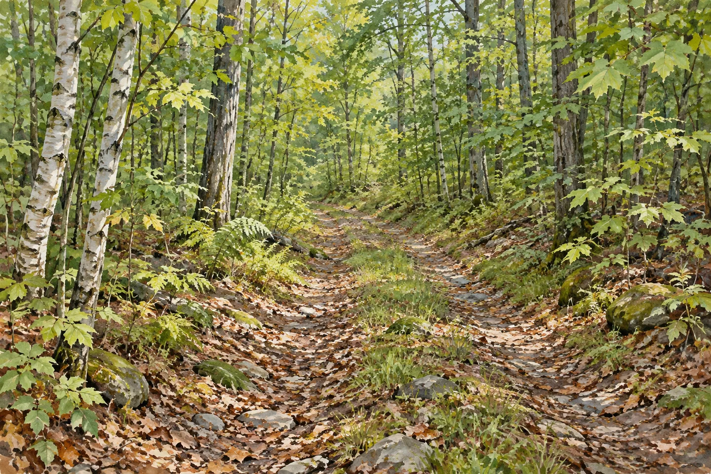
A Catskill Mountain Club account supplies a more specific glimpse of the road's history. The club reported clearing a 5.5-mile forest road through Bovina and Roxbury, originally built for timber harvesting. Volunteers needed four work trips, with birch saplings filling some stretches. That report connects recreation with a practical maintenance story: a corridor originally serving forestry later required effort to remain usable for other visitors.
The club described doing the work under a DEC permit. Treat its report as a historical account of volunteer stewardship, rather than a statement of the road's surface or condition today. For a walk, use the current operator guidance and map to establish the actual route. The account is useful because it gives the landscape a particular story without requiring invented ruins, farm walls or guaranteed scenic overlooks.
The official approach begins from New Kingston, using Thompson Hollow Road and Harold Roberts Road to an unpaved grass parking area described as a log landing. Check that location on the current map before setting out. A log-landing reference is a practical arrival description and a connection with timber use, but it does not establish visitor facilities, a staffed trailhead or permission to drive every road visible beyond it.
The S 71 snowmobile corridor also passes through Plattekill, maintained through a volunteer stewardship agreement with the Central Catskill Trail Association. Seasonal route information matters for that activity. Other listed recreation includes snowshoeing, cross-country skiing, mountain biking and horseback riding, with no maintained trails identified for those uses. Choose a plan appropriate to the season and the actual route arrangements rather than combining permissions into one assumed network.
Primitive camping is permitted, although there are no designated campsites. DEC requires 150-foot separation from roads, trails and water, with a ranger permit for stays beyond three nights or groups of ten or more. Review current requirements before an overnight trip, and follow Leave No Trace. The limited infrastructure means that a stay requires an independent plan rather than an expectation of campground services.
For photography, focus on woodland form and the relationship between a permitted corridor and surrounding tree cover. Let actual light and vegetation supply the details. Relay and Bearpen Mountain state forests are listed nearby, with Stamford identified for amenities. Plattekill's own interest is the story close at hand: woodland managed for several purposes, and the effort that connects a forestry road with recreation.
Fun facts
- Plattekill State Forest covers 1,761 acres in Stamford, Bovina and Roxbury.
- Its management purposes include timber, watershed protection, wildlife habitat and recreation.
- The S 71 snowmobile corridor passes through the forest.
- DEC lists no maintained hiking trails.
- A Catskill Mountain Club account describes four volunteer work trips to clear a forestry road.
Before you go
- Use the current forest map to plan an appropriate route through informal woodland.
- Check the Thompson Hollow/Harold Roberts Road approach and unpaved parking reference before departure.
- Treat historical clearing reports as context and verify current road conditions independently.
- Use activity-specific maps and permissions for seasonal recreation.
- Check primitive-camping setbacks and permit thresholds before staying overnight.
Capture
- Frame the relationship between a permitted route corridor and surrounding woodland without inventing open clearings or an overlook.
- Pair a wider tree-cover image with close bark or foliage detail where encountered.
- Let the available light shape your photograph, leaving vegetation and operational areas undisturbed.
 Bessie's Woods
 Wolf Hollow Wildlife Management Area
 Dill Brook Community Forest
Social
Plattekill State Forest covers 1,761 acres across Stamford, Bovina and Roxbury in Delaware County. It is managed for several public-land purposes. #Cre8Travel
Timber production, watershed protection, wildlife habitat and recreation all feature in Plattekill’s management description. #Cre8Travel
DEC identifies no maintained hiking trails at Plattekill. Begin with the current map and a route suited to your woodland skills. #Cre8Travel
A Catskill Mountain Club account describes volunteer clearing of a former timber road at Plattekill. Stewardship is part of the recreation story. #Cre8Travel
The official Plattekill approach uses Thompson Hollow and Harold Roberts roads to an unpaved grass parking area. Check current access before departure. #Cre8Travel
The S 71 snowmobile corridor passes through Plattekill under a volunteer stewardship arrangement. Use current seasonal maps for that activity. #Cre8Travel
Plattekill allows primitive camping but has no designated campsites. Review setbacks and ranger-permit needs before an overnight visit. #Cre8Travel
At Plattekill, try a composition centered on woodland texture and a permitted corridor. Which detail best shows a working landscape? #Cre8Travel
Hashtags