 Cre8Travel
CRE8TRAVEL · NEW YORK PLACES
Dill Brook Community Forest
Dill Brook Community Forest: Ravines, Ridge and a Conservation Gift
Discover
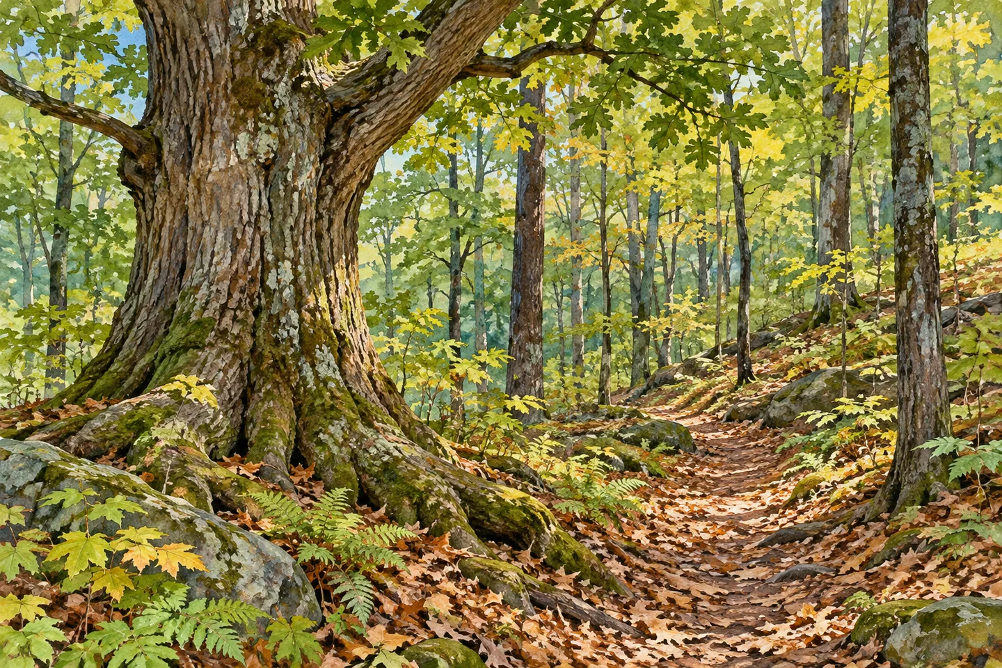
Dill Brook Community Forest puts several woodland experiences within one 150-acre preserve in Rensselaer County. Hemlock groves, ravines and a ridge route give the ground a rugged character, while some flatter trails and a picnic table near the kiosk offer a gentler starting point. The property spans the eastern edge of the Rensselaer Plateau and the Taconic-Hoosic Valley region, making changes in terrain part of the visit's interest.
Its conservation story connects two places. Donna Simms made a gift in memory of her husband Robert, known as Bob, a conservationist and educator. To make the donation possible, she first protected land the couple owned in Maine with a conservation easement and then sold it. The operator explains this as conserving two landscapes through one linked sequence. The Maine land and the New York community forest remain distinct properties in that story.
The marked routes give a visit several possible shapes. Potter Hill Loop, white marked and 0.72 mile long, climbs steeply from the western trailhead. Hudson Taconic Lands describes conifer and deciduous woodland here, including a cedar grove and pockets identified as old growth. The label applies to particular forest areas rather than every tree in the preserve. Choose the route with its ascent in mind, not only its short mileage.
The orange-marked Ravine Loop is listed at 1.01 miles and shares part of the Ridge Trail. Its western side offers views down into the ravine, while the eastern side follows an old logging road toward the ridge. The connecting Ridge Trail is 0.3 mile and more level, shared with the Ravine and Old Woods loops. Use the current map to understand these overlaps before adding route lengths together.
Old Woods Loop starts at the main parking area, following yellow markers for a listed 1.6 miles with 400 feet of ascent. Large oaks feature in the northern section, while the southern approach follows a logging road toward a fern field. The blue-marked Short and Steep Trail provides a 0.14-mile shortcut toward the ridge, but its name and 157 feet of ascent are a reminder that shorter is not necessarily gentler.
Another choice is the red Overlook Trail, listed at 0.37 mile. It passes conifers above Dill Brook Road and looks over a gravel pit toward the Taconic hills before connecting with Old Woods Loop. Grand Oaks Lane, a short blue-and-yellow route, highlights two large oaks. These particular subjects offer photographic possibilities without assuming that every route has a broad panorama.
Dill Creek lies at the southern end of the property, across the road from the trails. The operator identifies it as brook-trout spawning habitat and directs fishing access to the DEC pull-off. Treat that location separately from the walking network and check current rules before fishing. A creek's conservation importance does not establish unrestricted access along every bank.
Consult the current preserve map and activity guidance before arrival at Dill Brook Road in Petersburgh. Let the terrain and your needs determine whether to stay near the kiosk or choose a longer ridge-and-ravine combination. Keep woodland features undisturbed. The preserve's distinctive story joins the Simms family's gift with closely described routes, giving both its conservation history and its tree cover time to reward attention.
Fun facts
- Dill Brook Community Forest covers 150 acres in Rensselaer County.
- Donna Simms made the gift in memory of Robert Simms.
- The property spans the Rensselaer Plateau and Taconic-Hoosic Valley regions.
- The Ridge Trail is shared by the Ravine and Old Woods loops.
- Dill Creek lies across the road from the walking trails at the property’s southern end.
Before you go
- Choose a route using the current map and stated ascent as well as distance.
- Do not assume the Short and Steep shortcut is the gentlest option.
- Account for shared trail sections when combining routes.
- Keep fishing access at the DEC pull-off separate from the woodland-trail plan.
- For a gentler outing, consult the flatter routes near the kiosk and current conditions.
Capture
- Compose ravine and woodland relationships from an appropriate trail position without leaving the route for a steeper edge.
- Use large-oak forms as a subject where encountered, without assigning an unsupported age to individual trees.
- Pair a wider conifer-woodland image with closer bark or foliage texture, leaving the scene intact.
 Wolf Hollow Wildlife Management Area
 Spicer Creek Wildlife Management Area
 Deer River State Forest
Social
Dill Brook Community Forest covers 150 acres between the Rensselaer Plateau and Taconic-Hoosic Valley regions, with hemlocks, ravines and ridge routes. #Cre8Travel
Donna Simms’s gift in memory of Robert Simms linked conservation in Maine with the New York community forest. They remain distinct landscapes in that story. #Cre8Travel
Potter Hill Loop at Dill Brook is 0.72 mile with a steep climb from the western trailhead. Consider ascent as well as mileage. #Cre8Travel
The 1.01-mile Ravine Loop shares the 0.3-mile Ridge Trail with other routes. Use the map before combining trail lengths. #Cre8Travel
Old Woods Loop is listed at 1.6 miles with 400 feet of ascent. Its northern section includes large oaks and its southern route approaches a fern field. #Cre8Travel
Dill Brook’s Short and Steep Trail is 0.14 mile with 157 feet of ascent. A shorter route is not always a gentler route. #Cre8Travel
Dill Creek lies across the road from the walking trails. The operator directs fishing access to the DEC pull-off; check current requirements. #Cre8Travel
At Dill Brook, choose a route that fits the day and let woodland texture, tree form or a ravine view guide the photograph. #Cre8Travel
Hashtags