 Cre8Travel
CRE8TRAVEL · NEW YORK PLACES
Hunts Point Landing
Hunts Point Landing: A Street Becomes a Shoreline
Discover
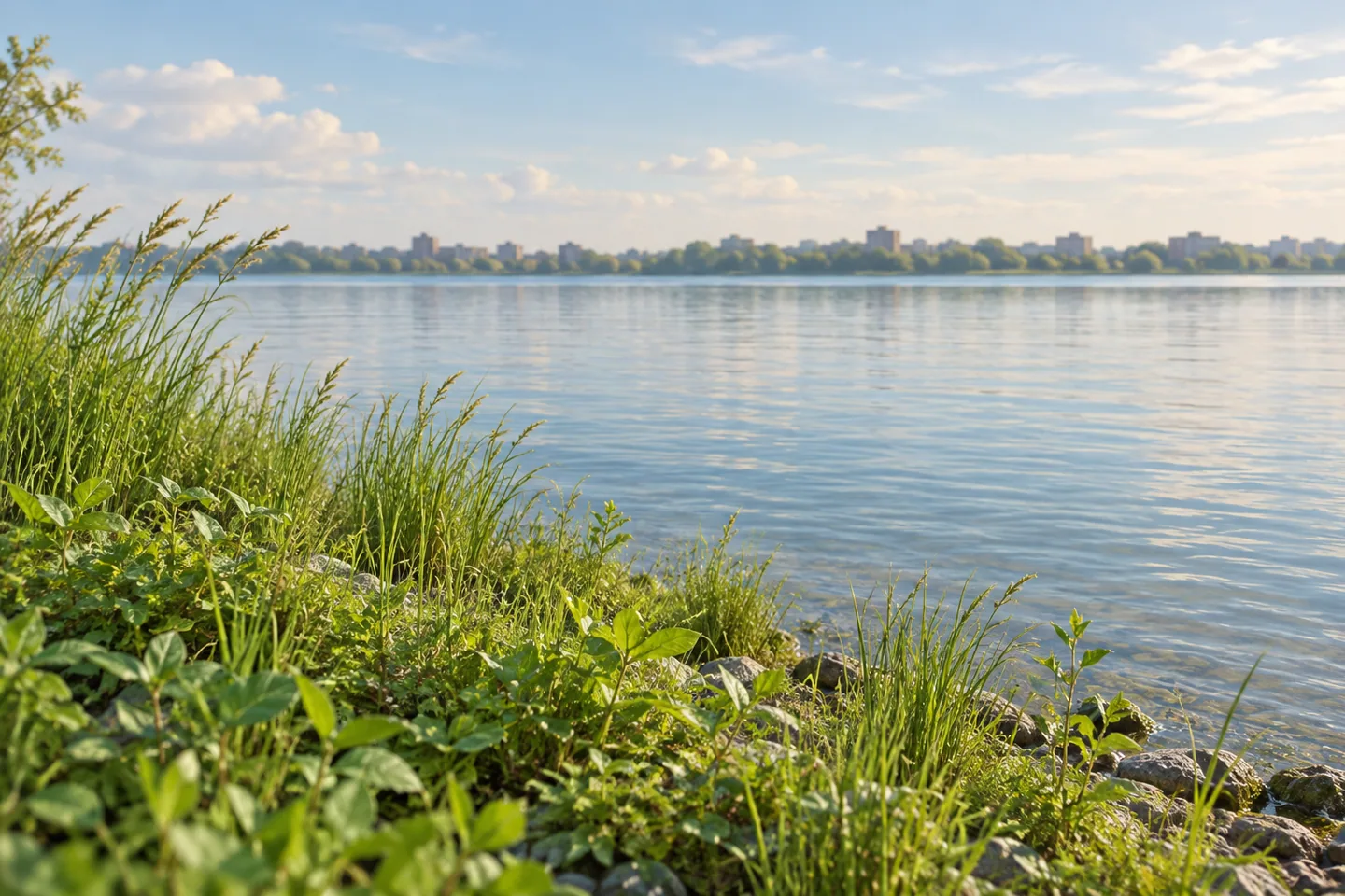
A former street supplies the shape of Hunts Point Landing. Long and rectangular, this small Bronx park moves from inland ground toward the meeting of the Bronx and East Rivers. Its 1.5 acres are modest in size, but the design story reaches well beyond a simple place to pause by the water. Landscape architecture, stormwater and a restored shoreline become parts of the same public space.
MNLA, the project's landscape architect, describes the old street alignment as the organizing element of the park. Activities change character along that length: more inward-looking spaces sit toward the upland end, while the water becomes increasingly important nearer the shore. That sequence offers an interesting way to experience the site. Notice what draws the eye forward and how the relationship between planted ground and open water changes as the landscape unfolds.
The designers also shaped circulation and topography so that visitors could see the water on entering. A view is therefore part of how the park works, rather than merely a reward at the end. Looking from an inland position and then from closer to the shoreline can produce different readings of the same place. One emphasizes the park's length; the other places it within the much larger river setting. Neither requires turning a short visit into a long itinerary.
The shoreline provides the ecological centre of that story. MNLA describes it as an educational demonstration of fresh and tidal waters meeting. This is a place to think about changing edges: land and water, planted ground and river, everyday public use and the processes that shape a waterfront. The restored setting also includes a stormwater design recognized with construction funding from the National Oceanic and Atmospheric Administration. Water arriving from inland is part of the landscape's purpose alongside the water visible beyond it.
Hunts Point Landing belongs to a broader South Bronx Greenway plan developed for Hunts Point and Port Morris. The planning work identified five priority projects, with the landing as one significant component. Those five projects do not all fit inside this small park. Instead, the landing shows how one carefully arranged piece can contribute to a larger network. The design team worked with city agencies and local community partners on a plan intended to serve both residents and workers in an industrial neighborhood.
That wider context makes the park interesting without requiring a grand claim about transforming an entire district. Here, public space and industrial surroundings share a waterfront. The design uses the available strip of land, directs attention toward the rivers and gives the shoreline a role in environmental learning. Its recognition includes a two-star SITES pilot-project award; these are landscape sustainability credentials, separate from visitor ratings or a travel recommendation score.
For planning, the designer identifies Hunts Point Landing at 2 Farragut Street in the Bronx. The original project description includes a fishing pier and a launch for small craft, but their current use requires a separate check; a design history is not a promise about today's operations. A visit centred on the landscape can remain simpler. Follow the relationship between the old street shape, the planted ground and the open water, and consider how much a small shoreline space can ask the eye to notice.
Fun facts
- Hunts Point Landing occupies a 1.5-acre site at the confluence of the Bronx and East Rivers.
- Its long rectangular form comes from the site’s former use as a street.
- The landing is one component of a wider South Bronx Greenway plan.
Before you go
- Use the designer-listed address, 2 Farragut Street, to identify the correct landing.
- Look at the water from an inland position as well as nearer the shoreline.
- Check current operating arrangements separately if planning any water-based activity.
Capture
- Use the length of the landscape to connect planted foreground and open water.
- Try a closer composition of shoreline vegetation without entering planted or wetland areas.
- Treat broad river views and small plant textures as two different scales of the same scene.
 Arcade and Attica Railroad Depot
 Edge
 Seneca Park
Social
Hunts Point Landing turns the shape of a former street toward the rivers. #Cre8Travel
This Bronx waterfront park occupies 1.5 acres at the meeting of the Bronx and East Rivers.
The designers arranged circulation and topography to draw attention toward the water.
A restored shoreline gives fresh and tidal waters an educational role in the landscape.
Stormwater design is part of the park’s purpose, alongside its waterfront views.
The landing forms one piece of a wider South Bronx Greenway plan.
The landscape earned recognition through the SITES pilot programme.
What would you notice first here: the long street-shaped space or the changing water’s edge?
Hashtags