 Cre8Travel
CRE8TRAVEL · NEW YORK PLACES
Honeyville Wildlife Management Area
Honeyville Wildlife Management Area: A Closer Look
Discover
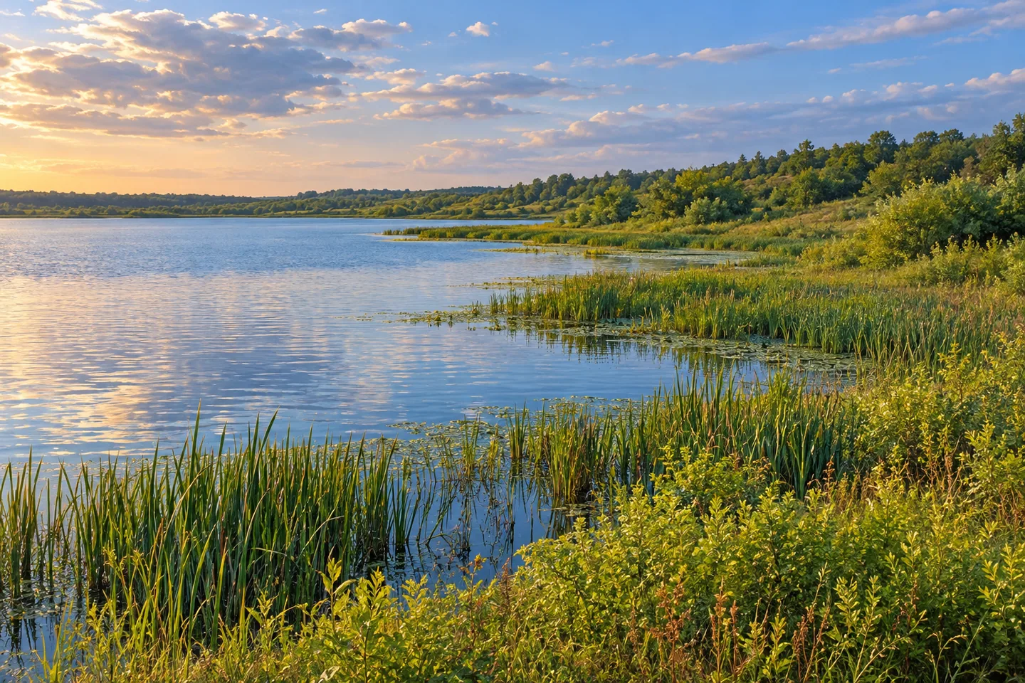
Honeyville Wildlife Management Area invites a closer look at what the word natural can mean. Its shoreline is undeveloped, but the wetland at its center is an impoundment developed for nesting and migrating waterfowl. Open water and emergent marsh dominate this 110-acre property in the Town of Adams, Jefferson County. Smaller areas of old field and shrub-covered upland complete the picture. The interest lies in that combination of habitat and deliberate management.
The land was acquired in 1966. That date marks acquisition, rather than a documented construction date for every feature of the impoundment. Today, the New York State Department of Environmental Conservation (DEC) manages the area for wildlife conservation and wildlife-dependent recreation. Think of it as a working habitat landscape, where an apparently quiet stretch of water has a purpose beyond providing a pleasant backdrop to a walk.
Public access is limited. Fuller Road provides the documented parking approach, with a short trail leading toward the impoundment. It is the only designated trail described for the WMA, although hiking is allowed across the property. Plan around that modest access arrangement instead of assuming a shoreline circuit, boardwalk or network of maintained paths. The open water is also visible north of State Route 177 at Honeyville; that location description is not an invitation to stop on the highway.
The impoundment's water-level control is central to the site's management objectives. The aim is to maintain open water and emergent marsh for water-dependent birds, particularly during nesting and brooding. That makes the water's edge more than a line on a map. As an observation exercise, compare open water with standing vegetation and the shrub-dominated uplands beyond it. Different parts of the same view belong to different elements of the habitat mixture.
Canada geese and snow geese use Honeyville as a migration stop, with the impoundment serving as a roost and nearby farm fields part of their surroundings. DEC also identifies pied-billed grebe and American bittern among wetland-dependent birds associated with the area. Spring and fall migration are part of the documented story, but a particular visit does not come with a promised species list. Bring an interest in the habitat as well as any hoped-for observation.
The uplands deserve attention too. DEC records white-tailed deer, cottontail rabbit and ruffed grouse there, alongside other wildlife associated with the wider property. Its bird and vertebrate checklists provide a starting point for identifying what you actually observe. Use them as references rather than a scorecard. The point is to notice the relationship between water, marsh and upland, not to turn a brief visit into a race to collect names.
Honeyville lies about eight miles south of Watertown and two miles east of Adams Center. Before setting out, check the DEC map and conditions for the Fuller Road approach; limited access remains an important part of the planning. Follow Leave No Trace guidance and the agency's tick precautions. A measured stop here can focus on one documented trail and one carefully observed wetland, without making the property sound more developed than it is.
Fun facts
- Honeyville WMA covers 110 acres in the Town of Adams, Jefferson County.
- The property was acquired in 1966.
- Its impoundment was developed as habitat for nesting and migrating waterfowl.
- The only designated trail is the short water-access trail from the parking area.
- DEC records Canada and snow geese using the area as a migration stop.
Before you go
- Plan for limited public access and one designated short trail.
- Use the Fuller Road parking approach described by DEC.
- Observe the impoundment from the documented access rather than assuming a shoreline circuit.
- Use DEC wildlife checklists without treating species as guaranteed sightings.
- Follow Leave No Trace guidance and DEC tick precautions.
Capture
- Compose a view around the contrast between open water, emergent vegetation and shrub-covered upland.
- Let the undeveloped shoreline provide a simple horizontal composition; do not enter vegetation to improve the angle.
- If birds are present, photograph from a respectful distance rather than approaching a nesting or resting area.
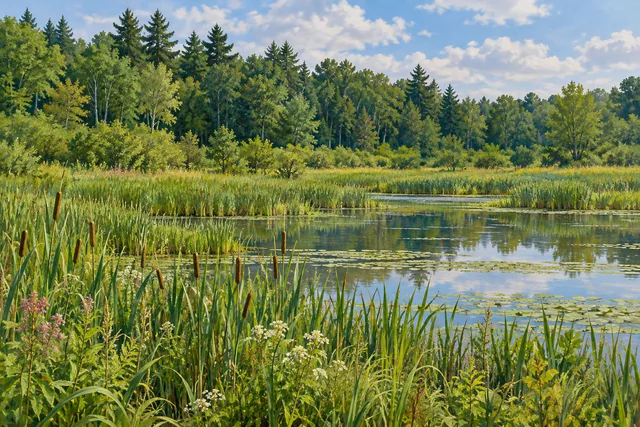 Cranberry Creek Wildlife Management Area
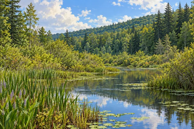 Indian River Wildlife Management Area
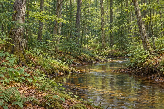 Balsam Creek State Forest
Social
Honeyville WMA combines an impoundment, emergent marsh and smaller upland habitats across 110 acres. #Cre8Travel
Acquired in 1966, Honeyville WMA was developed to support nesting and migrating waterfowl. #Cre8Travel
Fuller Road is the documented access approach to Honeyville's short water-access trail. Public access is limited. #Cre8Travel
Honeyville's only designated trail is short. Plan for an attentive wetland stop rather than a long shoreline circuit. #Cre8Travel
At Honeyville WMA, water-level management aims to maintain open water and emergent marsh habitat. #Cre8Travel
Canada and snow geese use Honeyville as a migration stop. A habitat story does not promise a sighting on every visit. #Cre8Travel
Look beyond the open water at Honeyville: old fields and shrub-covered uplands are part of the property too. #Cre8Travel
Which part of a wetland view draws your eye first: open water, emergent vegetation or the wooded background? #Cre8Travel
Hashtags