 Cre8Travel
CRE8TRAVEL · NEW YORK PLACES
Grass River Wild Forest
Grass River Wild Forest: Woodland Paths and Tooley Pond
Discover
Grass River Wild Forest gathers roughly 14,000 acres of public land into several parcels in St. Lawrence County. Most lie north of Route 3 and west of Route 56, within a larger landscape where public forest and privately owned conservation-easement lands have different boundaries. A focused visit can concentrate on the documented woodland routes near Lampson Falls or the pond setting at Tooley Pond. These places offer a useful introduction to the forest through established approaches and changes between tree cover and open water.
The Lampson Falls approach is half a mile long and leads to a designated viewing area. DEC identifies it as an accessible trail, with a firm, compacted-stone surface at least three feet wide and a maximum gradient of ten percent. Those particulars help explain the intended approach more clearly than a general label alone. The route gives the journey a defined destination while also offering a woodland setting along the way. Check current conditions before relying on the surface for a particular mobility need.
Two other mapped connections add a forest focus nearby. Lampson Falls Logging Road extends nine-tenths of a mile, branching from the main approach about two hundred feet before the overlook. The one-mile Grass River Trail branches roughly one hundred feet before it and follows the river, connecting with the northern end of the logging road. Their relationship on the map makes route choice part of the experience, with a woodland corridor and a river-side line presenting different ways through the setting.
Choose a particular route or combination using the current official map. Along the logging-road connection, the route's name adds a working-forest reference, while tree cover and the shape of the ground remain the immediate subjects. Along the river trail, water provides another line through the landscape. A walk can move between close observation of trunks and branches and broader impressions of the forest around the river, with the return planned as carefully as the outward journey.
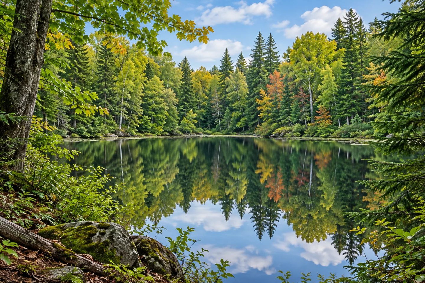
Tooley Pond supplies a separate water-centered destination. The pond covers 48 acres, with designated picnic and hand-launch features near the parking area. The launch approach is approximately fifty feet from parking. For a land-based visit, the pond setting offers a place to observe the relationship between wooded margins and open water from appropriate public access. The smaller scale contrasts with the longer woodland connections near Lampson Falls, giving a different shape to an outing in the same public unit.
A named Tooley Pond Mountain trail also crosses the surrounding ground. Its 1.7-mile route between road trailheads includes a climb of about 240 feet and a descent of about 255 feet past the pond. Treat it as a distinct point-to-point choice with its own return arrangements. The official full-loop description includes an additional road section, so the pond visit and the longer walking plan deserve separate decisions. The route's terrain and endpoints matter as much as the distance shown beside its name.
Consult current DEC notices for the selected public parcel and approach. The wider Grass River complex includes private easements with their own rules, and neighboring Downerville State Forest remains a separate destination. Within the Wild Forest, a clear plan leaves time for the details that give a woodland visit character: the form of a tree, the direction of the river or the open surface of Tooley Pond. Choose one setting and let those observations provide the pace.
Fun facts
- Grass River Wild Forest includes roughly 14,000 acres in several public parcels.
- The designated Lampson Falls approach is half a mile long.
- A logging-road route and a river trail provide additional mapped woodland connections.
- Tooley Pond covers 48 acres.
Before you go
- Check the actual trail gradient, surface and current conditions for the Lampson approach.
- Plan any logging-road and river-trail combination with the current official map.
- Keep public Wild Forest routes distinct from private easements and neighboring Downerville.
Capture
- At suitable Tooley Pond public access, let the opposite tree line organize a simple water composition.
- Along the selected woodland route, use layers of trunks to show the depth of the forest.
- Compare reflections and shaded branches from established access, keeping the viewpoint on the route or designated area.
 Taylor Pond Wild Forest
 Amboy 4-H Environmental Education Center
 Concrete Plant Park
Social
Grass River Wild Forest gathers public woodland parcels in St. Lawrence County. #Cre8Travel
The Lampson Falls approach leads half a mile to a designated viewing area.
Its documented surface and gradient help with planning.
A logging-road connection adds a woodland route choice.
Grass River Trail follows the river to the logging-road connection.
Tooley Pond offers a separate 48-acre water setting.
Use the exact public parcel and trail endpoints when planning the visit.
Would you begin with a woodland route or a quiet pond view?
Hashtags