 Cre8Travel
CRE8TRAVEL · NEW YORK PLACES
Taylor Pond Wild Forest
Taylor Pond Wild Forest: Choosing a Woodland Approach
Discover
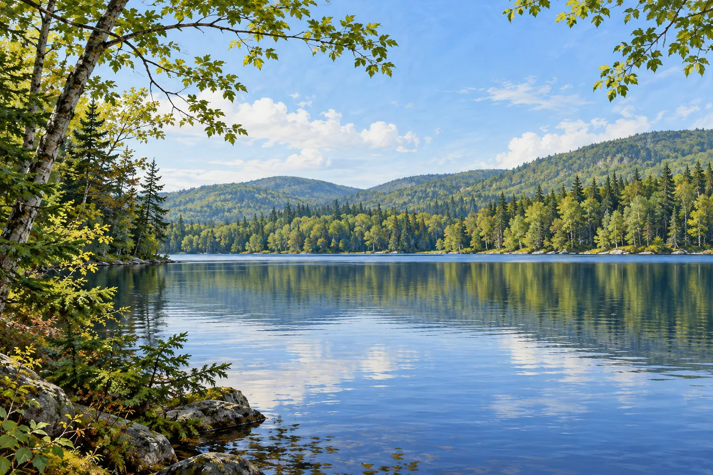
Taylor Pond Wild Forest offers woodland journeys shaped by water in the northeastern Adirondacks. Taylor Pond itself is a substantial destination, extending about three miles across 856 acres, while separate forest approaches reveal different parts of its shoreline. The setting becomes easier to understand through a chosen trail and starting point. A northern route, a southern route or a walk toward Mud Pond each supplies a distinct sequence of wooded travel and a pause near water.
The northern Taylor Pond route extends 3.6 miles from the Taylor Pond trailhead to the north-shore lean-to. At the fork four-tenths of a mile from the start, it takes the right branch. The early ground is rolling, followed by a series of climbs and descents. This is a journey whose shape matters alongside its distance: the woodland between the start and the water is a substantial part of the outing, with changes in elevation contributing to its pace.
The southern approach takes the left branch at the same fork. It reaches its destination after 2.6 miles from the trailhead. An early climb of about eighty feet over a quarter mile leads into rolling terrain. Comparing the two descriptions gives a useful basis for choosing an outing before leaving the start. Both have a relationship with the same large pond, but their distances and the ground they cross give them different practical demands and different views of the forest along the way.
Starting-point details deserve particular attention here. Approaches through the campground shorten the northern journey by six-tenths of a mile and the southern one by two-tenths. Those are reductions from the main trailhead distances, with different parking arrangements attached to the campground approach. Use the current official map to select the actual start. A clear decision at that stage makes the trail figures meaningful and helps establish the time and energy needed for the return.
The pond's shore facilities also belong to that campground context. Lean-tos and designated tent sites are managed with the campground, with seasonal reservation and fee arrangements. A day walk can still focus on the woodland journey and the water, while any overnight plan needs its own current operator information. At suitable established access, the open surface gives the forest a broader perspective: close trees frame a larger body of water, with the far shore providing a different sense of distance.
Mud Pond supplies another defined forest destination from Route 3. Its trail reaches the shore after one mile, with another six-tenths of a mile continuing toward the outlet. The pond covers 109 acres and has views toward the Alder Brook Mountains. Select the shoreline destination or the longer outlet approach before setting out, accounting for the return in either case. The route offers another way to experience the unit's woodland-and-water character through a separate visit.
Consult the current DEC notices and map for the chosen trailhead, route and parking arrangements. Taylor Pond Wild Forest sits within a larger complex of public units and other lands, so keep the plan tied to the documented approach. The reward is a visit with a clear narrative: choosing a branch, following the rolling woodland and arriving beside water whose size changes the scale of the scene. One route is enough to give that progression time to unfold.
Fun facts
- Taylor Pond covers 856 acres and extends about three miles.
- The north-shore route is 3.6 miles from the main Taylor Pond trailhead.
- The southern route is 2.6 miles from the same start.
- The Route 3 Mud Pond trail reaches a 109-acre pond after one mile.
Before you go
- Choose the northern or southern route before reaching the fork.
- Use the distance associated with the actual trailhead and parking arrangement.
- Check current campground rules separately when considering shore sites or an overnight stay.
Capture
- From suitable established pond access, place foreground branches beside a broader water view.
- Use the distant shoreline to give scale while retaining woodland detail near the frame.
- Along the selected forest approach, look for soft side light across trunks and rolling ground.
 Vanderwhacker Mountain Wild Forest
 Grass River Wild Forest
 Amboy 4-H Environmental Education Center
Social
Taylor Pond Wild Forest brings woodland routes to a substantial Adirondack pond. #Cre8Travel
Taylor Pond covers 856 acres.
The northern approach is 3.6 miles from the main trailhead.
The southern branch reaches its destination after 2.6 miles.
Actual starting points change the relevant distance and parking plan.
Mud Pond offers a separate one-mile shoreline approach from Route 3.
Keep campground arrangements separate from the day-walk plan.
Would you choose a northern route, a southern route or Mud Pond?
Hashtags