 Cre8Travel
CRE8TRAVEL · NEW YORK PLACES
Grantville State Forest
Grantville State Forest: Wet Ground and a History of Planting
Discover
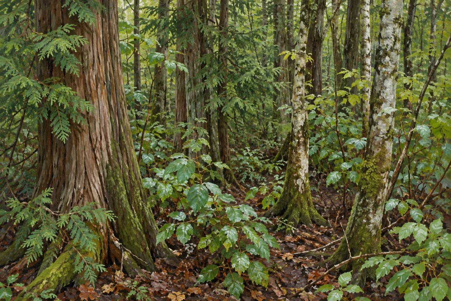
Grantville State Forest is shaped by small differences in ground and water. Across 775 acres in Norfolk, St. Lawrence County, very flat terrain supports extensive wetlands, with drier places carrying northern hardwoods and white pine. The Raquette River forms the northwestern boundary. This is a landscape to understand through transitions in vegetation and earlier land use, rather than a summit or a single landmark, with its former fields and planted trees belonging to the same wider story.
The public property consists of six parcels purchased between 1937 and 1950. Parts of the northern area once held farms and a bridge crossing the Raquette; those features were abandoned and removed long ago. Their history helps explain why the woodland has a human past, but does not establish a surviving bridge or farm-building attraction. The present forest occupies ground used differently before public acquisition, and the river that once required a crossing remains an important geographical reference.
Much of the agricultural land acquired in the 1930s and early 1940s had little tree cover and exhausted soils. Reforestation aimed to reduce erosion and wildfire risk while giving the land another productive use. Open fields were planted with red, Scotch and white pines, together with white spruce. Those species names provide a practical thread for looking at the forest, linking the forms of conifers with deliberate planting instead of assuming that every part of the woodland developed in the same way.
Civilian Conservation Corps crews from Camp S-95 in Brasher Falls worked here between 1937 and 1941. Their tasks included planting more than 437,000 trees on 387 acres, clearing and maintaining 2.1 miles of fireline, and constructing four waterholes for fire control. These are records of historical work, not a description of today's visitor trail or a promise that every waterhole remains identifiable. The planting acreage is also only part of the present forest, keeping the scale of the project distinct from the property's full extent.
Water gives the current vegetation a different kind of structure. The wettest ground supports open wetlands and shrub swamp, changing gradually toward swamp hardwoods and white cedar where flooding is seasonal. Drier upland sites support hardwood and white-pine forest. From an appropriate public position, notice changes in height, density and cover rather than trying to turn every habitat category into a separate destination. Even within a flat landscape, variations in moisture can produce a varied woodland scene.
There are no designated trails. DEC identifies a pull-off on Grantville Road as an access reference, so plan the actual approach and return with the current property map. The Raquette's position along the boundary is part of the setting, but reaching it can be difficult because infrastructure is limited. A visit can focus on woodland and vegetation available from appropriate access without depending on a continuous riverside path or a particular view across the water.
The St. Lawrence Flatlands management framework places reforestation, habitat, timber, recreation and watershed protection together. Those purposes provide context for the land without establishing an outcome in every stand. Give the scene actually encountered enough time to reveal its details, leaving plants and wet ground undisturbed. Grantville's character comes from the relationship between former agricultural land, a documented period of planting and the wetland transitions of the Raquette setting, with a modestly planned outing offering one way to read that combination.
Fun facts
- Grantville State Forest consists of six parcels totaling 775 acres.
- The parcels were purchased between 1937 and 1950.
- CCC crews planted more than 437,000 trees on 387 acres during 1937–1941.
- The Raquette River forms the northwestern boundary.
Before you go
- Use the map to plan appropriate access because no designated trails are provided.
- Do not expect the former river bridge to survive as a visitor feature.
- River access is limited; choose an outing suited to actual infrastructure.
Capture
- Compose differences between taller woodland and low wetland vegetation.
- Use conifer forms to suggest the documented planting history.
- Work from an appropriate public position without entering flooded ground.
 Glenmeal State Forest
 Jenksville State Forest
 Fulton Chain Wild Forest
Social
Grantville State Forest covers 775 acres of flat woodland and wetlands in Norfolk. #Cre8Travel
Six parcels acquired between 1937 and 1950 make up the public property. #Cre8Travel
The Raquette River forms the forest’s northwestern boundary. #Cre8Travel
Former farm fields were planted with pine and spruce as the land changed use. #Cre8Travel
CCC crews planted more than 437,000 trees across 387 acres during 1937–1941. #Cre8Travel
Shrub swamp and seasonal wet woodland contrast with drier hardwood and white-pine ground. #Cre8Travel
Historical firelines and waterholes are records of work, rather than a prepared visitor route. #Cre8Travel
Plan around actual public access and let woodland transitions be the focus of the outing. #Cre8Travel
Hashtags