 Cre8Travel
CRE8TRAVEL · NEW YORK PLACES
Glenmeal State Forest
Glenmeal State Forest: A Remarkable Month of Tree Planting
Discover
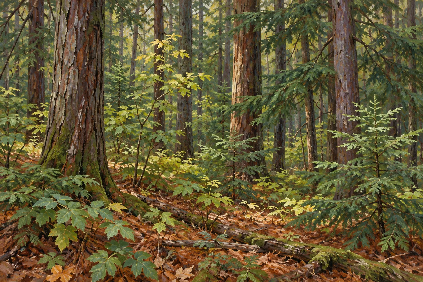
Glenmeal State Forest carries a strikingly concentrated chapter of reforestation history. During April and May 1941, Civilian Conservation Corps crews planted more than 522,000 trees on 404 acres here. The work took less than a month and was among the last major projects of their camp. Today's 826 acre public forest in Pierrepont, St. Lawrence County, offers a place to consider that effort through living woodland, with several short recreational routes providing practical ways to begin an outing.
The workers came from Camp S-134, located about 2.5 miles north of the forest on what is now Powers Road. That location distinguishes the historical camp from the land where its crews planted trees. The camp closed in mid-May 1941, placing the Glenmeal project near the end of its operation. A large number of seedlings and a short period of work give the forest's origins a human scale: the present tree cover followed organized labor on ground selected for reforestation.
White pine, red pine and white cedar were the main species in that planting campaign. Others included Scotch and pitch pines, white spruce, white ash, black cherry, Douglas fir, eastern hemlock and European larch. The variety is a reminder that a plantation history need not involve only one tree. It also gives a visitor a useful subject for observation, comparing conifer shapes and broadleaf forms where the chosen route provides a view, without trying to identify every historical planting species during a single walk.
The 404 acres planted in 1941 represent a particular project within the larger forest. They are not the acreage of the whole public property, and the seedling count does not supply a present-day inventory of surviving trees. The most grounded connection is between the documented work and the woodland setting now encountered. A pattern of trunks, a conifer canopy or the structure of an established stand can invite attention to growth over time without an exact planting-row reconstruction.
For walking, the main recreational trails begin near the state-forest sign and parking area on County Route 24. Red and blue markers identify three available loops covering about 2 miles in total. Use the official map to choose how those routes connect rather than interpreting the total as the length of each loop. The compact network offers a different scale from the hundreds of acres described in the historical account, making a limited outing possible without attempting to traverse the entire forest.
A separate 0.2 mile hiking trail lies in the southern portion off Wilson Road. Its separate location matters when selecting an approach: it is another access choice rather than an extension automatically added to the Route 24 loops. DEC also provides Dillabough Road and Route 24 parking references. Match the actual starting point to the visit planned, with the current property map and conditions guiding the return. The routes supply access to the forest, while their particular arrangement determines what is available to observe.
Glenmeal is managed for reforestation, wildlife, timber, recreation and watershed protection within the St. Lawrence Foothills planning framework. A visit can keep that working-land purpose in mind while concentrating on the trees themselves. Allow time along the selected route for woodland texture and changes in canopy to become the subject. The forest's particular story is the connection between a brief, intensive planting campaign and the longer life of the land, made approachable through a modest network of marked paths.
Fun facts
- Glenmeal State Forest covers 826 acres in Pierrepont.
- CCC crews planted more than 522,000 trees on 404 acres during April and May 1941.
- Camp S-134 closed in mid-May 1941.
- Three red/blue-marked loops cover about 2 miles in total.
Before you go
- Choose connected loop sections using the official map.
- The southern Wilson Road trail is separate from the Route 24 network.
- Observe current trees without assuming that every historical planting species survives beside the route.
Capture
- Use tree trunks and canopy as the central subject of the planting story.
- Contrast conifer and broadleaf forms where visible from the chosen path.
- Avoid reconstructing exact historic planting rows or a camp within the forest.
 Fort Jackson State Forest
 Grantville State Forest
 Jenksville State Forest
Social
Glenmeal State Forest links short woodland routes with a concentrated reforestation story. #Cre8Travel
More than 522,000 trees were planted on 404 acres in less than a month during 1941. #Cre8Travel
The planting was among the final major projects of CCC Camp S-134. #Cre8Travel
White pine, red pine and white cedar were the main species used in that campaign. #Cre8Travel
The 826 acre public forest is larger than the particular area planted in 1941. #Cre8Travel
Three marked recreational loops total about 2 miles near County Route 24. #Cre8Travel
A separate short trail off Wilson Road offers another approach to the property. #Cre8Travel
An ordinary woodland composition can connect present tree forms with the labor that helped establish them. #Cre8Travel
Hashtags