 Cre8Travel
CRE8TRAVEL · NEW YORK PLACES
Fort Jackson State Forest
Fort Jackson State Forest: River, Former Fields and Recovering Woodland
Discover
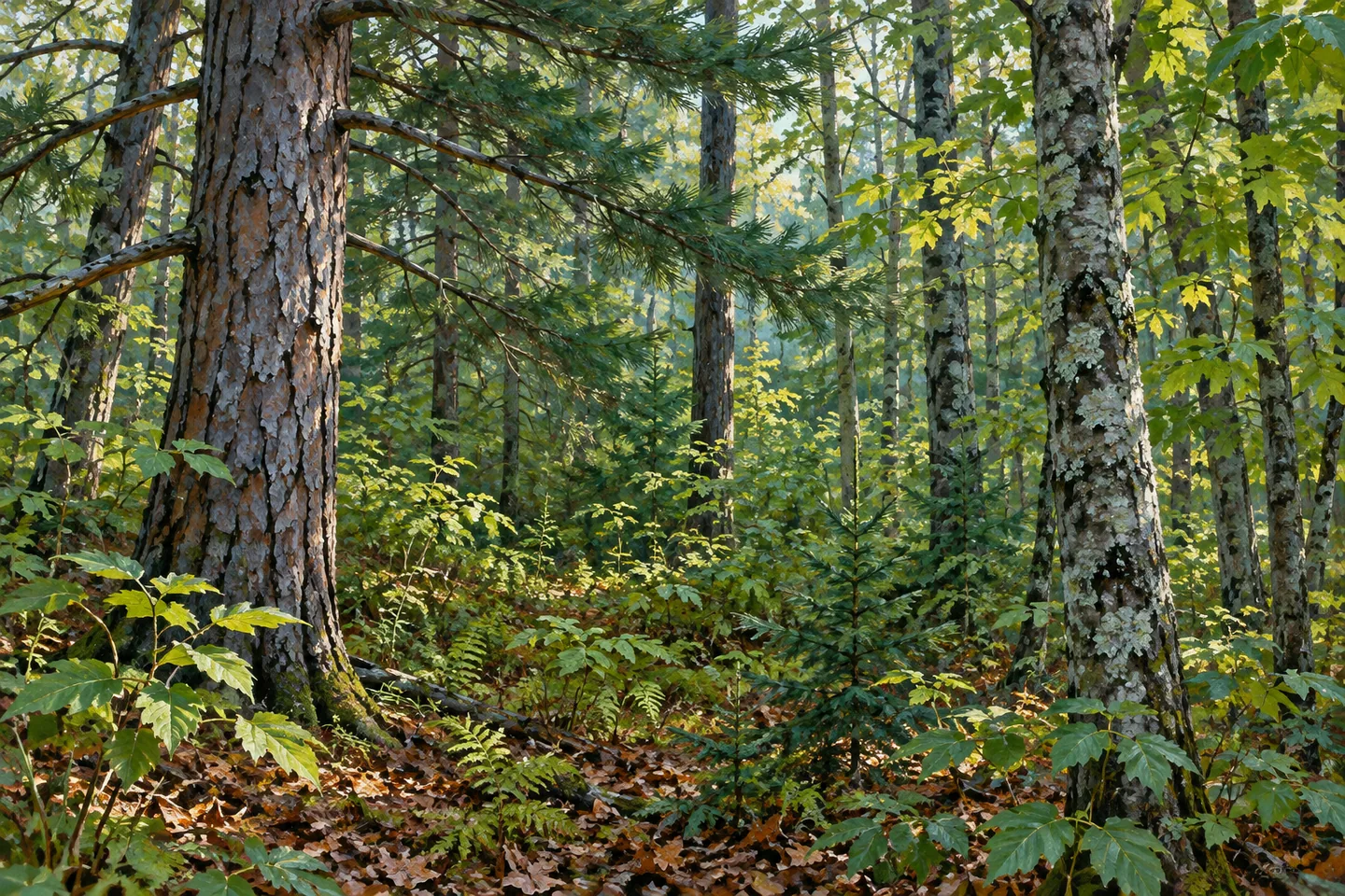
Fort Jackson State Forest holds a story of fields, plantations and natural woodland around the St. Regis River. The 914 acre property in Stockholm, St. Lawrence County, consists of nine parcels acquired between 1950 and 1994. Upland hardwoods and white pine contrast with flatter wet ground, where shrub swamps and seasonally flooded woodland create another kind of cover. The river crosses the property, bringing those forest and wetland elements into a recognizable geographical setting.
Earlier agriculture helps explain the planted trees. The nearby hamlet of Buckton supported a starch factory in the late nineteenth century, and some land now within the state forest was used for growing potatoes. DEC describes the soils of those fields as having become depleted through that cultivation. Tree planting supplied a new use for exhausted ground. The relationship between a local factory, a former crop and the present forest gives this woodland a particular history beyond a general account of reforestation.
Between 1952 and 1962, more than 591,000 trees were planted across 628 acres. Red, Scotch and white pines were among the species used, alongside less common plantings of white cedar, white spruce and jack pine. Those figures describe a planting campaign, not the number of trees standing today. Looking at the broad forms of conifers and mixed woodland can make the history tangible without assuming that each present stand corresponds neatly to a single year or project.
Natural growth adds another layer. Higher ground supports northern hardwoods and white pine, while open wetlands and shrub swamps give way to swamp hardwoods and white cedar in places flooded seasonally. The transitions matter as much as any individual tree. A view from an appropriate route can show differences in height, density and the way vegetation occupies the ground. Forest and wetland here are connected parts of the landscape, rather than separate display areas arranged for visitors.
American chestnut provides a more unusual detail in DEC's account. The forest retains a small population of sprouts, but the source explains that they grow only a few inches in diameter before succumbing to chestnut blight. This is not a surviving grove of healthy mature chestnuts. The distinction gives the forest an additional story about persistence and disease, while avoiding an expectation that a walk will reveal large chestnut trees or that an unverified tree can be identified from its size alone.
Approximately 8 miles of paved roads, unpaved roads and multiple-use trails provide the access described for the property. That total includes different surfaces and route types. The separately listed winter routes should not be added as though they necessarily provide extra walking mileage. Use the current map to choose a section and return, with the Sheldon Road pull-off among DEC's access references. Reaching the river may be difficult because infrastructure is limited, so its place in the landscape does not establish an easy continuous riverside path.
Plan an outing around the actual approach and the woodland visible from it. A river glimpse, a planted conifer form or a change toward wetter ground can each connect directly with the property's documented history. Leave vegetation undisturbed and give any wildlife room. Fort Jackson's character comes from the combination of agricultural use, decades of public acquisition, extensive planting and the St. Regis River, with the route chosen determining how much of that story comes into view.
Fun facts
- The 914 acre forest comprises nine parcels acquired between 1950 and 1994.
- Some former fields supplied potatoes in the era of Buckton’s starch factory.
- More than 591,000 trees were planted across 628 acres between 1952 and 1962.
- The St. Regis River crosses the property.
Before you go
- Select an approach and return from the current property map.
- The 8 mile access total combines several types of roads and trails.
- River access can be difficult because infrastructure is limited.
Capture
- Contrast conifer forms with mixed hardwood woodland where available.
- Use wetland vegetation as a subject from appropriate access.
- Include the river only from a suitable existing route position.
 Fairfield State Forest
 Glenmeal State Forest
 Grantville State Forest
Social
Fort Jackson State Forest brings together 914 acres around the St. Regis River. #Cre8Travel
Nine parcels acquired from 1950 to 1994 make up the public property. #Cre8Travel
Former potato fields connect the forest’s history with Buckton’s nineteenth-century starch factory. #Cre8Travel
More than 591,000 trees were planted across 628 acres during 1952–1962. #Cre8Travel
Northern hardwoods and white pine occupy uplands, with wetland communities on flatter ground. #Cre8Travel
Chestnut sprouts persist here, but DEC explains their continuing vulnerability to blight. #Cre8Travel
The 8 mile access total combines roads and multiple-use trails rather than one declared loop. #Cre8Travel
A woodland texture or an appropriately reached river view can reveal part of this working forest’s story. #Cre8Travel
Hashtags