 Cre8Travel
CRE8TRAVEL · NEW YORK PLACES
Fall Brook State Forest
Fall Brook State Forest: A Closer Look
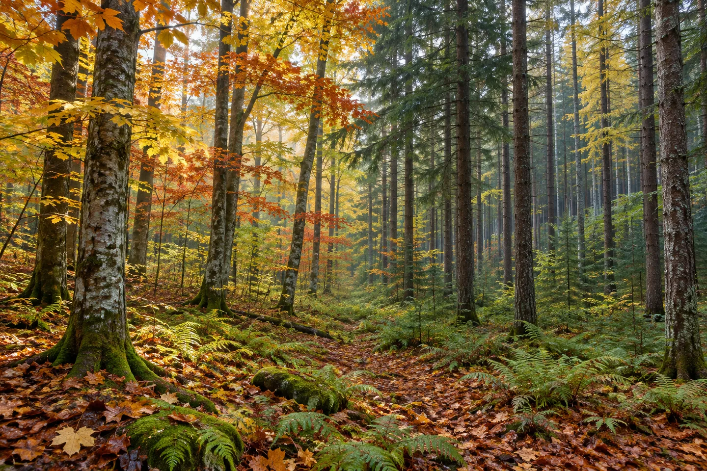
Discover
A long acquisition history sits behind the present outline of Fall Brook State Forest. Most of its 4,479 acres were acquired in the 1930s and 1940s, with additional pieces added in 1958, 1961 and 1962. The property in Annsville, Oneida County, is therefore a landscape assembled over time, rather than one purchase followed by a single planting project. That longer sequence can give an ordinary woodland walk a more particular story.
The forest includes northern hardwoods, hardwood-hemlock woodland, plantations, wetlands and ponds. Those broad categories describe different parts of the same property, not a sequence of viewing stations joined by a visitor circuit. Where visible from the route, compare woodland structure and the way trees occupy the ground. The mixture gives a visit a theme without requiring a large vista or a promised sighting of an animal.
Red maple, sugar maple, white ash, black cherry, red oak, beech and aspen are among the hardwood trees identified by the New York State Department of Environmental Conservation (DEC), with hemlock and red spruce also in the natural-forest account. Notice the distinction between a woodland mixture and a plantation. A tree can be present in a working forest for more than one reason; the species list alone does not tell the whole land-use history.
Planting took place in the late 1930s, the 1940s and the 1950s. The surviving plantation mixture described by DEC includes red, white and Scotch pine, white spruce, and European, Japanese and Dunkeld larch. Their names distinguish several larches within the plantation mixture. Those names add specificity without a need to claim all are visible beside one access road. Comparing conifer forms, where present on your route, can make the planting story tangible without staging or reconstructing a historical scene.
Approximately 2.3 miles of access combine unpaved roads, designated routes and unmarked paths. Treat the figure as a combined total rather than one waymarked loop. Choose an approach and return from the property map and present conditions. The forest's size is much greater than the access mileage, an important distinction when deciding whether a particular part fits the kind of outing you have in mind.
Apple Landing is the trailhead reference in DEC's visitor information, and no maintained parking areas are listed. Resolve the actual approach and stopping arrangement before traveling rather than expecting a developed visitor lot. The forest's name also does not establish a waterfall attraction: woodland, wetlands and ponds are the landscape elements described here. A grounded visit should follow those actual details instead of adding a cascade inferred from the word Fall.
Management follows the 46-Corners Unit Management Plan, with water quality, recreation, habitat and timber among the purposes. Follow posted conditions and Leave No Trace guidance, keeping vegetation and any earlier land-use traces undisturbed. A photograph can concentrate on forest texture or a water view available from an appropriate position. Fall Brook's distinction lies in its staged land assembly and diverse planted and natural woodland, with modest access shaping how that story can be explored.
Fun facts
- Fall Brook State Forest covers 4,479 acres in Annsville, Oneida County.
- Acquisitions in the 1930s and 1940s were followed by additions in 1958, 1961 and 1962.
- Natural woodland, plantations, wetlands and ponds are part of the property.
- About 2.3 miles of access combine roads, designated routes and unmarked paths.
- Apple Landing is the listed trailhead reference; no maintained parking areas are listed.
Before you go
- Use the combined access mileage as a planning reference rather than a loop length.
- Check the Apple Landing approach and actual parking arrangement.
- Do not infer a waterfall attraction from the forest name.
- Choose a route suited to the current map and conditions.
- Follow posted rules and Leave No Trace guidance.
Capture
- Compare planted conifer forms with the natural woodland mixture visible from the route.
- Use tree and ground texture as a subject without relying on a distant view.
- A pond or wetland view belongs in a composition only where actually visible from appropriate access.
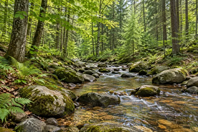 Cobb Brook State Forest
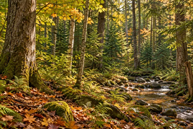 Fish Creek State Forest
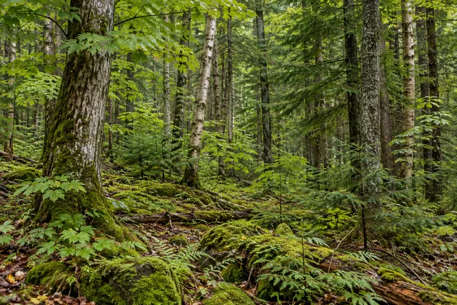 Florence Hill State Forest
Social
Fall Brook State Forest spans 4,479 acres in Annsville, Oneida County. #Cre8Travel
Fall Brook land was assembled across the 1930s and 1940s, with additions in 1958, 1961 and 1962. #Cre8Travel
Fall Brook combines natural woodland, plantations, wetlands and ponds. #Cre8Travel
Planting in the late 1930s through 1950s contributes to Fall Brook's woodland mixture. #Cre8Travel
DEC names European, Japanese and Dunkeld larch among Fall Brook's remaining plantation trees. #Cre8Travel
The approximately 2.3-mile access total includes roads and unmarked paths rather than one signed loop. #Cre8Travel
No maintained parking areas are listed at Fall Brook. Check the Apple Landing approach before traveling. #Cre8Travel
At Fall Brook, a tree-texture study can tell a story without a waterfall inferred from the name. #Cre8Travel
Hashtags