 Cre8Travel
CRE8TRAVEL · NEW YORK PLACES
East Osceola State Forest
East Osceola State Forest: A Closer Look
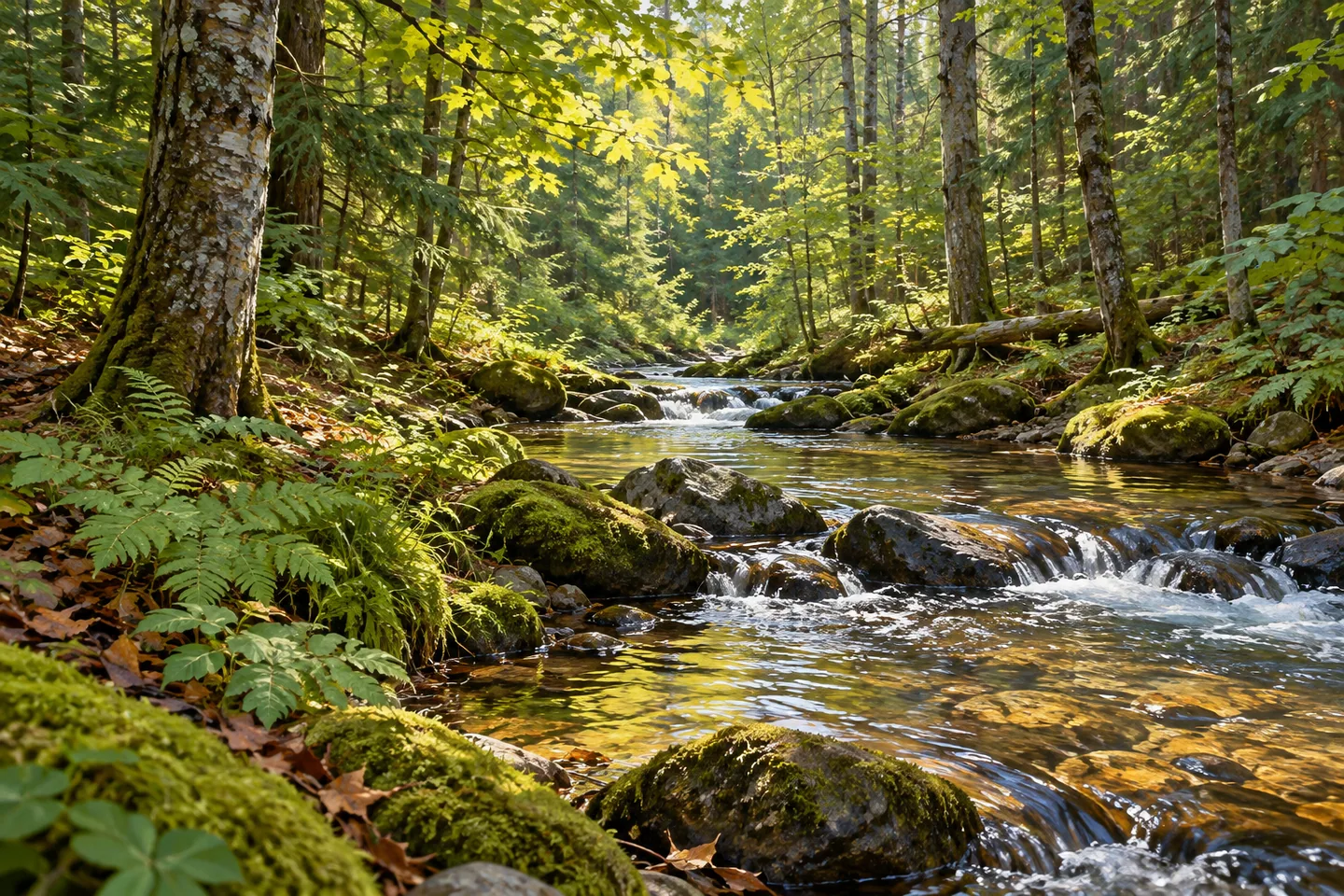
Discover
East Osceola State Forest offers a useful lesson in scale. The property covers 1,975 acres in the Town of Osceola, Lewis County, but its documented walking opportunities amount to 2.18 miles of trails and unpaved roadways. Those figures describe different things: the extent of the forest and the routes available for a visit. Begin with the route information, rather than imagining that the whole acreage is joined by an extensive visitor trail network.
The New York State Department of Environmental Conservation (DEC) manages the forest for reforestation, wildlife, timber production, recreation and watershed protection. That mixture of purposes makes it a working state forest. A walk here can be an opportunity to think about how several uses share a landscape, without presenting the woods as untouched wilderness or treating a management objective as proof of a completed ecological success.
For an observation-focused outing, use the mapped trails and roadways to choose an approach that fits your plans. The 2.18-mile figure is combined mileage, not a declared loop or a promise that every segment connects conveniently. There is no need to turn a modest route into a grand expedition. Give the actual woodland setting time to hold your attention, and let what is visible from your chosen route determine the visit's detail.
Water adds a second set of names to the map: the Salmon River, Malloy Brook and Smith Brook. DEC identifies all three in its description of trout fishing opportunities. Those references establish a relationship with the forest, not a waterside path alongside each stream. Before making a water view the purpose of a visit, check the property map and actual access. A river name is a helpful point of orientation, but it cannot substitute for route information.
The Salmon River parking area is off County Route 46, with DEC's approach description beginning at Osceola. Match the parking location to the route you intend to use before setting out. Public fishing rights are also mapped separately through DEC's interactive resources. Keeping parking, trails and water-access rights distinct is part of understanding a place whose public information serves several different kinds of visitor.
Three detached forest-preserve parcels lie adjacent to the state forest. They are separate pieces of public land, and DEC notes that access is limited. Their presence should not be turned into a suggested extension or evidence of a continuous route. On a map, neighboring parcels may appear to invite a longer journey; on the ground, the access arrangement matters more than the visual closeness of colored boundaries.
The Tug Hill East Unit Management Plan provides the wider management framework, while public recreation is also addressed through the East Branch of Fish Creek Recreation Management Plan. Follow posted conditions and Leave No Trace guidance, and check the actual approach before visiting. For photographs, work with woodland textures or water where an appropriate view is available, rather than inventing an overlook. East Osceola's interest lies in a clearly described state-forest setting, named streams and modest walking routes, with enough separation between them to reward careful planning.
Fun facts
- East Osceola State Forest covers 1,975 acres in Osceola, Lewis County.
- Trails and unpaved roadways provide 2.18 miles of walking opportunities in total.
- DEC identifies the Salmon River, Malloy Brook and Smith Brook in its description of the property.
- The Salmon River parking area is off County Route 46.
- Three adjacent detached forest-preserve parcels have limited access.
Before you go
- Use the 2.18 miles as combined route mileage, not a promised loop.
- Match the Route 46 parking location to the route you intend to use.
- Do not infer a streamside trail from the names of the waterways.
- Treat adjacent detached parcels as separate lands with limited access.
- Follow posted conditions and Leave No Trace guidance.
Capture
- Use woodland texture and changing light as composition subjects along the chosen route.
- If an appropriate water view is actually available, frame it with surrounding vegetation without assuming a designated overlook.
- A close composition can focus on forest detail instead of implying an expansive vista.
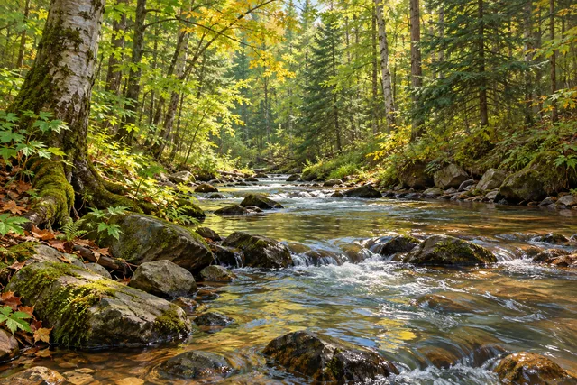 East Branch Fish Creek State Forest
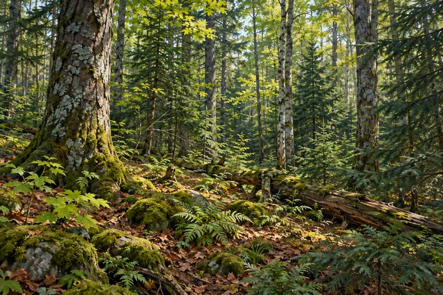 Grant Powell State Forest
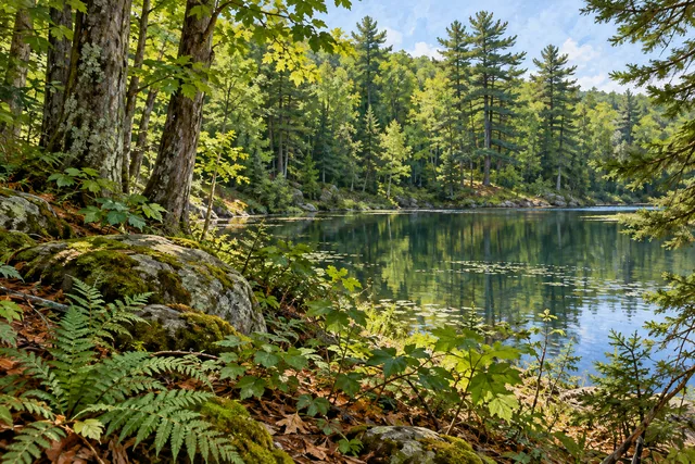 Hogsback State Forest
Social
East Osceola State Forest covers 1,975 acres in Osceola, Lewis County. #Cre8Travel
The documented walking routes at East Osceola total 2.18 miles across trails and unpaved roadways. #Cre8Travel
Acreage is not trail length. Choose East Osceola routes from the map rather than inventing a long circuit. #Cre8Travel
Salmon River, Malloy Brook and Smith Brook are named waterways in DEC's East Osceola description. #Cre8Travel
East Osceola's Salmon River parking area is off County Route 46. Match parking to the route you plan. #Cre8Travel
Three adjacent detached forest-preserve parcels have limited access; proximity does not establish a connecting trail. #Cre8Travel
East Osceola is managed for several purposes, including reforestation, timber, recreation and watershed protection. #Cre8Travel
What helps you understand a state forest first: the walking routes, its waterways or the reasons it is managed? #Cre8Travel
Hashtags