 Cre8Travel
CRE8TRAVEL · NEW YORK PLACES
Diverting Reservoir Trail
Diverting Reservoir Trail: A Footpath Through a Shared Water Landscape
Discover
The Diverting Reservoir Trail is a public footpath with an unusual ownership story. Putnam County Land Trust helps explain and care for the route, but it does not own the ground beneath it. The path follows New York City water-supply land near Brewster, in the Town of Southeast. That arrangement is central to the visit: a defined walking route exists within a working reservoir landscape, with access shaped by cooperation rather than by treating the entire surrounding property as a preserve.
The reservoir itself entered service in 1911 after the East Branch of the Croton River was impounded. Its watershed lies within the Town of Southeast, and the waterbody belongs to the Croton supply system. Those facts place a local walk in a larger infrastructure story. The reservoir is not simply scenery beside the trail; its water-supply function helps explain both the land's ownership and the importance of following the particular public route provided.
The trail opened on August 22,2014. Its creation brought together the land trust, New York City's Department of Environmental Protection, local scouts, the town and Concerned Residents of Southeast. In the preceding year, volunteers cleared debris and removed invasive plants, including barberry and knotweed. The work transformed a proposed route into a usable footpath through a specific collaboration. It was not a case of the land trust purchasing the entire waterfront and opening it as one of its owned preserves.
The practical starting point is Railroad Avenue near downtown Brewster, opposite Electrazone Field and Veterans Park. The land trust describes the route as an out-and-back walk of one mile in each direction. That makes the return journey part of the plan from the beginning. It is a path to follow to its endpoint and retrace, rather than an assumed loop around the reservoir or a connection through every adjoining open space.
Part of the route follows the old Nelson Boulevard alignment. The surrounding area had earlier been farmland, known at different times as Brady Farm and Valley View Farm. These earlier uses give the walk another layer of history without requiring the visitor to find surviving farm buildings or reconstruct an unverified story about past residents. A former road and a farm's documented identity are meaningful details even when they do not form a conventional historic-site display.
One junction deserves particular attention. Where the old boulevard climbs toward railway tracks, the public trail bears left to continue along the reservoir edge. The tracks are off limits. This is a clear example of why the accessible trail and the surrounding land must remain distinct in a walking plan. Follow the markers and the reservoir-side route, then return the same way. A visible continuation uphill is not an alternative public path just because an old road once went there.
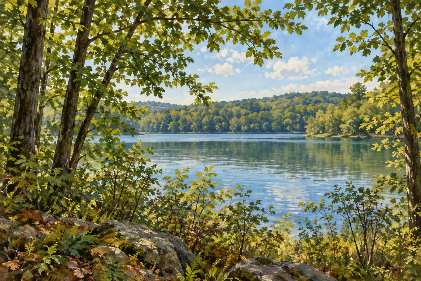
The land trust describes a generally flat route, much of it under tree cover. Those characteristics can inform an outing without becoming a promise of accessibility or identical conditions on every visit. The most distinctive thing to notice is the relationship between the footpath and the water landscape around it. Reservoir infrastructure, an old road alignment and volunteer work all contribute to the place, while the defined route makes a modest public experience possible within that larger setting.
Fun facts
- The reservoir entered service in 1911.
- The public trail opened on August 22,2014.
- The path is on New York City water-supply property, not land owned by Putnam County Land Trust.
- The route is an out-and-back of one mile each way.
Before you go
- Follow the markers and return along the same route; do not assume a reservoir loop.
- Bear left with the public trail where the old road rises toward off-limits railway tracks.
- Treat the defined footpath separately from surrounding water-supply property.
Capture
- From the public path, relate the tree canopy to the reservoir setting without entering restricted ground.
- Use the direction of the path as a compositional idea without reconstructing the exact historic road.
- Keep equipment on the legitimate route; do not use railway tracks as a viewpoint or photographic prop.
 Coon Hollow State Forest
 Big Indian Wilderness
 Black River Wild Forest
Social
Diverting Reservoir Trail offers a defined footpath on New York City water-supply land near Brewster. #Cre8Travel
Putnam County Land Trust does not own the land beneath this route. Its story is one of partnership.
The reservoir entered service in 1911 after the East Branch of the Croton River was impounded.
The trail opened on August 22,2014, following work by local organizations, volunteers and public partners.
Volunteers removed debris and invasive plants while preparing the route.
The walk is one mile out and one mile back. It is not a loop around the reservoir.
Follow the marked trail left along the reservoir where the old road climbs toward off-limits railway tracks.
An old road, a water-supply landscape and community work meet along this modest path. Notice their relationship while keeping to the public route.
Hashtags