 Cre8Travel
CRE8TRAVEL · NEW YORK PLACES
Big Indian Wilderness
Big Indian Wilderness: Choosing a Route Through a Mountain Landscape
Discover
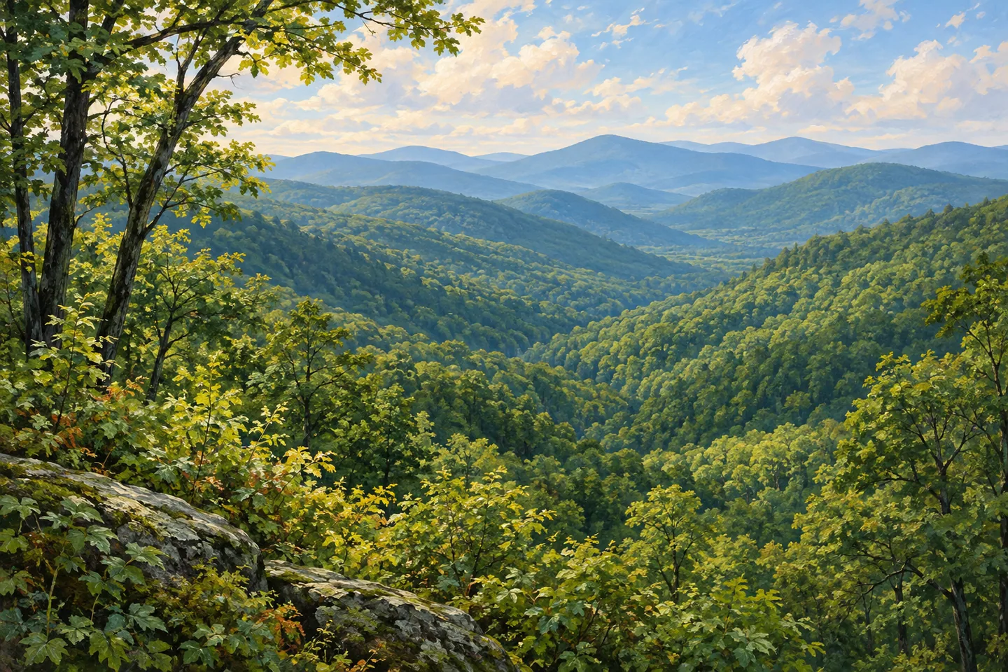
Big Indian Wilderness is a mountain landscape whose scale matters to every walking decision. Its 33,500 acres in Ulster County contain approximately 30 miles of trails, with elevations ranging from 1,500 to 3,860 feet. Balsam, Fir, Haynes and Eagle are among its prominent peaks. Those names can help orient a map, but the wilderness is more than a collection of summit destinations. Its ridges, hollows and headwaters form a wider setting in which a route needs to be chosen deliberately.
The trail network is reserved for foot travel. That shared condition does not make every path equivalent in length or character. McKinley Hollow Trail, for example, provides an eastern approach to the Pine Hill-West Branch route. Its 1.9 miles begin less steeply before becoming a progressively strenuous climb. A gentle opening section should therefore not determine expectations for the whole route. The changing terrain is part of the specific outing, not a detail to add after choosing a destination.
The Rider Hollow-Mine Hollow loop offers another documented option, spanning 4.8 miles through connections marked in red, yellow and blue. Its route crosses Balsam Mountain and includes a limited view toward the hamlet of Big Indian. That description gives the loop a particular identity without promising an open panorama throughout the walk. The named junctions and changes of markers are central to following it; the complete route is more than a direct stroll from a parking area to a viewpoint.
For a much longer undertaking, the 14.1-mile Pine Hill-West Branch Trail follows a ridge over five peaks. Its length and sustained mountain setting make it a different proposition from choosing one of the shorter access trails. The Mongaup-Hardenburgh Trail provides another mid-elevation route, with 6.4 miles and less dramatic ascents. These distances belong to different trails and combinations, rather than to interchangeable circuits that all return automatically to the same starting point.
The wilderness also protects headwaters associated with the Esopus Creek, Beaverkill, Neversink and Willowemoc. That water connection gives the mountain terrain another significance beyond the views it may offer. Streams and drainage belong to a larger Catskills landscape, while conditions on a particular day can be much less predictable. DEC notes that springs and streams may dry during summer and does not guarantee untreated water quality. A walk or longer journey should not depend on finding drinkable water along the route.
Several road approaches serve different parts of the network. Rider Hollow, McKinley Hollow, Dry Brook Road and Frost Valley Road are among the documented access references. Choose the trailhead that matches the intended route, rather than assuming that any wilderness entrance offers a similar day. Overnight plans require a separate check of the actual camping rules and facilities. In particular, an old map symbol or a general shelter count should not be treated as confirmation of an available structure.
The most useful way to approach Big Indian is to keep its different scales in view. A short access segment, a ridge route and a headwater landscape each reveal something different. The wilderness's character comes from the relationship among them, together with the substantial changes in elevation and terrain. Let those specifics shape the walking plan, then give attention to the mountain setting without needing every outing to include a summit, a long circuit or a promised wildlife encounter.
Fun facts
- The wilderness covers 33,500 acres in Ulster County.
- Its approximately 30 miles of trails are reserved for foot travel.
- The Pine Hill-West Branch Trail spans 14.1 miles and follows five peaks.
- The wilderness harbors headwaters associated with the Esopus, Beaverkill, Neversink and Willowemoc.
Before you go
- Choose a trailhead and complete route together; the network includes substantially different distances and terrain.
- Do not judge McKinley Hollow’s full climb by its gentler start.
- Carry an appropriate water plan rather than depending on flowing springs or untreated water.
Capture
- Use a documented viewpoint to relate ridges and hollows without promising an open panorama.
- Study ordinary forest layers from the trail when distant views are limited.
- For an illustration, suggest Catskills mountain woodland without reconstructing an exact summit, shelter or route.
 Diverting Reservoir Trail
 Black River Wild Forest
 Blue Mountain Wild Forest
Social
Big Indian Wilderness brings 33,500 acres of Catskills mountain terrain into one protected landscape. #Cre8Travel
Its roughly 30 miles of trails are for foot travel, but their distances and conditions vary substantially.
McKinley Hollow begins less steeply before becoming a strenuous climb. Read the whole route, not just its opening section.
The 4.8-mile Rider Hollow-Mine Hollow loop crosses Balsam Mountain through several marked trail connections.
Pine Hill-West Branch is a 14.1-mile ridge route spanning five peaks, a different commitment from a short access walk.
The wilderness also contains headwaters associated with four well-known Catskills waterways.
Streams and springs may dry during summer, and untreated water quality is not guaranteed. Build a water plan into the outing.
Choose the trailhead, route and turning point deliberately. Big Indian’s landscape is richer when its different scales are kept clear.
Hashtags