 Cre8Travel
CRE8TRAVEL · NEW YORK PLACES
Black River Wild Forest
Black River Wild Forest: Lakes, Public Land and Different Boundaries
Discover
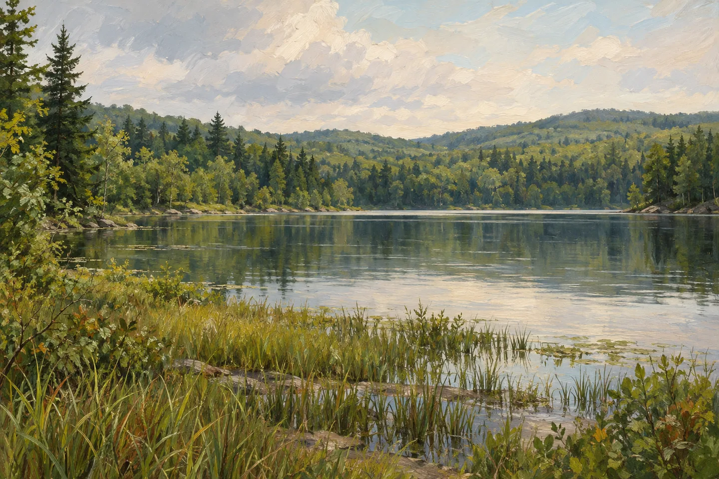
Black River Wild Forest is a broad southwestern Adirondack landscape of rolling hills, lakes, ponds, streams and wetlands. Its 127,135 acres reach across parts of Herkimer, Oneida, Lewis and Hamilton Counties. A name covering such an extensive area cannot provide a complete plan for a visit. Understanding where a particular route lies, and what kind of land it crosses, is as important here as deciding which waterbody or stretch of woodland to see.
The terrain rises from approximately 1,350 to 2,600 feet. Some of the greatest changes in elevation occur between Nicks Lake and Woodhull Lake and around North and South Lakes. Elsewhere, hills and water are interspersed more gently. These differences give the forest several possible characters rather than one standard walking experience. A route near one lake does not establish the conditions, access or distance associated with another part of this large management area.
DEC's information also includes three conservation easement tracts: Flatrock Mountain, John Brown and North Lake. These are privately owned working forests with specified public recreation rights. They should not be treated as extensions of unrestricted state ownership. An easement can conserve land and provide particular opportunities while leaving other activities or areas unavailable to the public. That distinction belongs at the beginning of an outing, rather than being left for a boundary sign to explain after arrival.
The John Brown tract covers 3,078 acres southwest of Old Forge. Its relatively flat terrain includes the Moose River and Gull Lake, with portions in more than one county. North Lake's 11,490-acre tract lies in the Town of Ohio, surrounding the northern part of the lake. Its northern mountains and waters belong to that separately described tract. Keeping those names and areas attached to the correct property prevents a general forest overview from becoming misleading route advice.
Seasonal roads provide access to several destinations within the wider unit. Wolf Lake Landing, Mill Creek, South Shore and Haskell or West Creek Roads are among the references identified by DEC. Seasonal access can change, and some roads also lead toward private inholdings. A line on the map is therefore not enough to establish a public route to every destination beside it. Stay on the appropriate public land and do not interpret a road's continuation as permission to enter an adjoining parcel.
The easement tracts remain working forests where timber activity can affect public access. Areas of active operations may be closed, and the North Lake tract also contains a specific exclusion around a private camp. These conditions are part of the land's current public-use framework, not an incidental complication. For a straightforward walking visit, choose a clearly identified route whose permitted access is understood, instead of trying to improvise a circuit across different ownerships.
The landscape's interest is not reduced by those distinctions. They reveal how conservation works across a large area containing both public forest and private land with limited recreation rights. Water, woodland and changing terrain provide the visible setting; ownership and management explain how people may move through it. Black River is most rewarding when the chosen destination remains specific, with its route, land type and access conditions understood as carefully as the scenery around it.
Fun facts
- The wild forest covers 127,135 acres across parts of four counties.
- Its elevations range from approximately 1,350 to 2,600 feet.
- The John Brown Conservation Easement Tract covers 3,078 acres.
- The North Lake Conservation Easement Tract covers 11,490 acres in the Town of Ohio.
Before you go
- Identify whether the intended route lies on state forest or a particular conservation easement.
- Do not enter private inholdings or assume a road continues as a public route.
- Account for active forestry closures and the private-camp exclusion on the North Lake tract.
Capture
- From a clearly permitted route, compare rolling wooded ground with nearby water rather than seeking access across private shorelines.
- Use ordinary landscape layers to convey the forest’s scale without merging separate lakes into one invented view.
- Keep any illustration general and avoid reconstructing private camps, exact roads or active forestry operations.
 Big Indian Wilderness
 Blue Mountain Wild Forest
 Bluestone Wild Forest
Social
Black River Wild Forest spans a large southwestern Adirondack landscape of hills, lakes and wetlands. #Cre8Travel
Its 127,135 acres extend across parts of Herkimer, Oneida, Lewis and Hamilton Counties.
DEC also describes conservation easement tracts alongside the public forest. They are privately owned lands with specific recreation rights.
John Brown’s 3,078-acre tract includes relatively flat ground associated with the Moose River and Gull Lake.
North Lake’s 11,490-acre easement tract is a separate property in the Town of Ohio. Keep its details attached to that tract.
Some seasonal roads lead toward private inholdings. A visible continuation is not automatically a public route.
Working-forest operations and private exclusions can limit access on easement land. Plan for the particular permitted route.
Conservation and public recreation can involve different ownership arrangements. Understanding that map is part of understanding Black River.
Hashtags