 Cre8Travel
CRE8TRAVEL · NEW YORK PLACES
Coon Hollow State Forest
Coon Hollow State Forest: The History Behind a Quiet Map Label
Discover
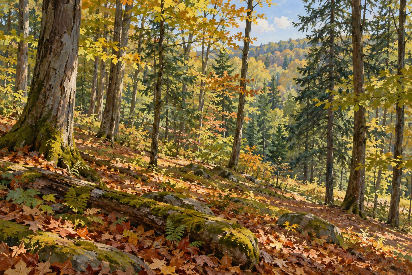
Coon Hollow State Forest asks for a different kind of preparation from a developed recreation park. Its 2,456 acres in the Schuyler County towns of Orange and Dix have limited infrastructure, and DEC notes that reaching much of the property involves significant walking. The name on a map is therefore a starting point rather than a complete itinerary. Looking at the forest's documented acquisition and planting history gives the landscape more substance before deciding how to approach it on the ground.
Most of the public land was purchased between 1937 and 1942, with a further small addition in 1947. The 2013 Six Nations management plan records later acquisitions as well: approximately 17 acres in 1963 and a 1.3-acre parcel in 1977. The small final addition served a specific purpose, improving access to Coon Hollow Road. These details show why the present forest boundary is a record of several decisions, including transactions that mattered for access as much as for increasing the area of woodland.
Planting work provides another precise chapter. The Civilian Conservation Corps established a camp in nearby Sugar Hill State Forest in 1935 and undertook work at Coon Hollow. In 1940, crews planted an acre with Scotch pine and Japanese larch for erosion control. The next year,21.5 acres were planted with white spruce. Those figures belong to particular projects here. They make it possible to discuss the forest's planted history without borrowing a generic account of conservation work from somewhere else.
Further planting continued during the 1960s. The sequence matters because the initial purchase and the establishment of all the trees were not one event. Some stands reflect later management decisions, while other parts of the property have different histories. An observation-focused visit can keep that variety in mind without assuming that a tree's present appearance alone identifies when, why or by whom it was planted. The records add context rather than providing a label for every stand encountered.
The management plan also identifies glacial moraine sediments along the forest's northeastern boundary, shared in its description with the northeast of Sugar Hill State Forest. This is a specifically located geological detail, not a claim that the whole property has identical ground. It adds an earlier timescale to the land-use story: the forest's modern acquisition history sits within a landscape whose physical materials were shaped long before the state began buying parcels.
For access, DEC points to approaches from Meads Creek Road near Monterey, Chambers Road and County Route 19. Parking is on the shoulder, rather than at a developed visitor complex. Those references should be read alongside the warning about substantial walking into much of the forest. An outing needs an actual route and a suitable plan; neither a roadside opening nor a neighbouring forest name establishes a maintained connection through the property.
The wider purpose of Coon Hollow includes timber, wildlife habitat, water protection and compatible recreation. Primitive camping is allowed under state rules, but the property description does not supply a network of serviced campsites or a marked visitor circuit. Its most distinctive story lies in the combination of assembled parcels, purposeful planting and limited development. Approach the forest through those specifics, letting the documented access and the conditions shape the visit rather than expecting facilities that have not been established.
Fun facts
- Most of the forest was acquired between 1937 and 1942.
- A 1.3-acre addition in 1977 improved access to Coon Hollow Road.
- CCCcrews planted Scotch pine and Japanese larch for erosion control in 1940.
- White spruce planting covered 21.5 acres in 1941.
Before you go
- Account for DEC’s warning that reaching much of the forest requires significant walking.
- Use the documented road references and shoulder parking rather than assuming a visitor complex.
- Keep Coon Hollow distinct from neighbouring Sugar Hill when reading maps and management history.
Capture
- Use ordinary woodland structure as a subject without identifying a planting date from appearance alone.
- From a legitimate route, study changes in ground and vegetation rather than reconstructing a specific geological boundary.
- For a conceptual illustration, show woodland without inventing a maintained trail, campsite or visitor building.
 College Lodge Forest
 Diverting Reservoir Trail
 Big Indian Wilderness
Social
Coon Hollow State Forest covers 2,456 acres in Orange and Dix, Schuyler County. #Cre8Travel
Much of its land entered public ownership between 1937 and 1942.
A small 1977 addition had a specific purpose: improving access to Coon Hollow Road.
In 1940, CCCcrews planted an acre with Scotch pine and Japanese larch to control erosion.
White spruce followed on 21.5 acres in 1941, with further planting work in later decades.
The management plan identifies moraine sediments along the northeastern boundary, a geological detail scoped to that part of the property.
DEC describes limited development and substantial walking to reach much of the forest. Plan an actual route rather than assuming a signed circuit.
A quiet forest map label can conceal a detailed history of purchases, access and planting. Coon Hollow rewards reading those chapters separately.
Hashtags