 Cre8Travel
CRE8TRAVEL · NEW YORK PLACES
Delaware Wild Forest
Delaware Wild Forest: Choosing Among Ponds, Falls and Mountain Trails
Discover
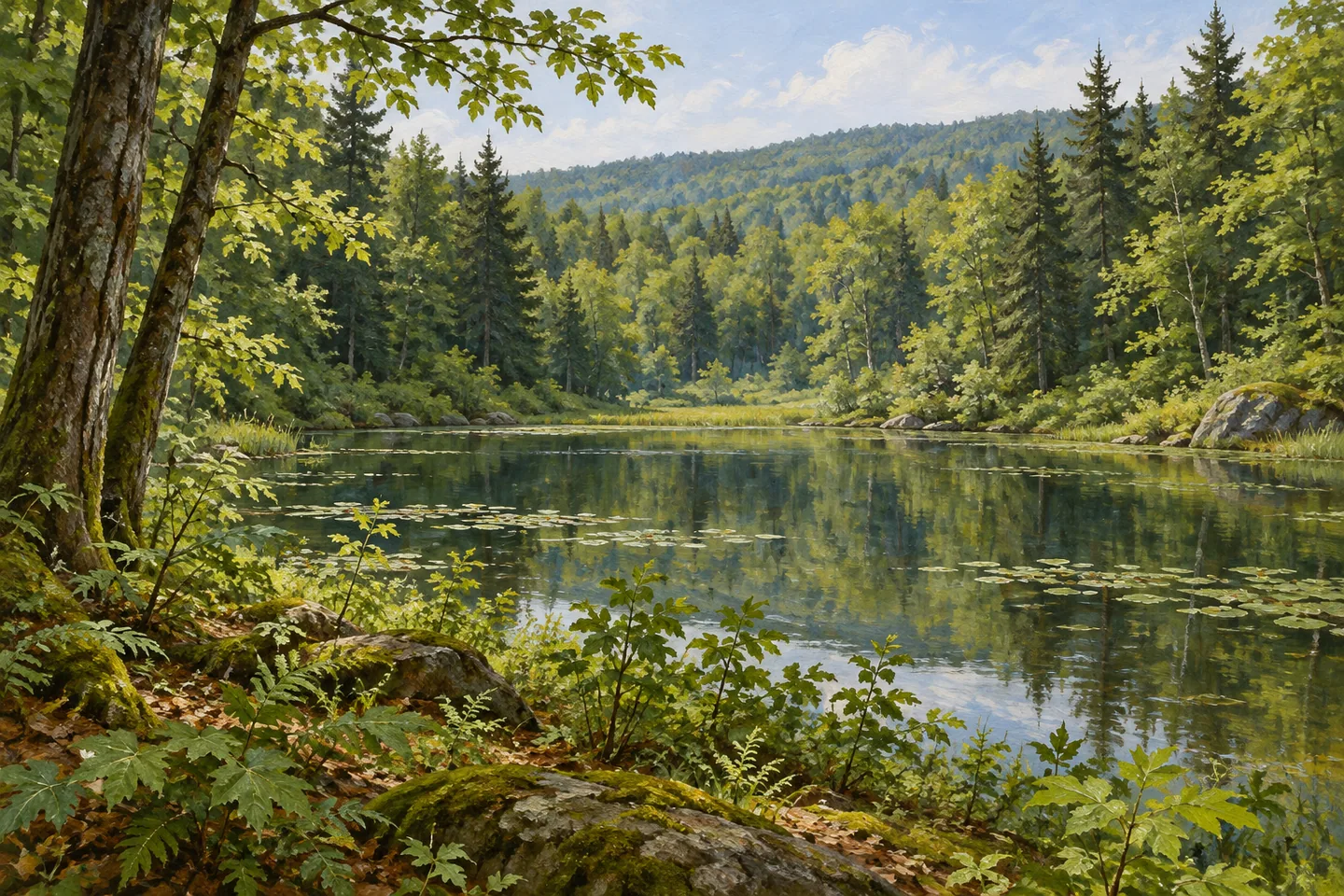
Delaware Wild Forest is a landscape to choose from rather than a single attraction to complete. Its 29,500 acres lie in the western Catskill Forest Preserve, within the Delaware County towns of Colchester and Andes. Ponds, a waterfall and mountain viewpoints provide different reasons to visit, while a broad trail system connects particular parts of the property. The first useful decision is which destination belongs to the day, rather than how to fit the entire wild forest into one outing.
DEC identifies more than 47 miles of recreational trails, including 28 miles designated for snowmobile use. These figures describe a network across a large area, not one continuous walking circuit. A route selected for a pond may have a very different character from one heading toward a mountain viewpoint. Read the current map for the actual combination of access, distance and return travel, keeping shared winter routes and ordinary hiking objectives distinct.
Water provides several possible focal points. Big Pond, Trout Pond and Huggins Lake are separate named destinations, each with its own place on the map. Big Pond has a documented hand launch, giving small-craft access a specific setting rather than making every lake in the forest interchangeable. If the day centers on water, choose that particular destination and verify the appropriate access instead of following the wild forest's name to an arbitrary starting point.
Russell Brook Falls offers another water theme, while Beaverkill Vista on Cabot Mountain and Split Rock Lookout suggest a different kind of outing. These names are useful for narrowing the choice, not for assuming that the places sit next to one another or can be reached in a short combined loop. A focused visit can spend its attention on one landscape relationship: water and woodland, for example, or the transition between a forested route and a designated viewpoint.
Four lean-to shelters serve backpacking routes in the wild forest. DEC associates them with the Mud Pond, Trout Pond, Campbell Mountain and Pelnor Hollow trails. This is an overnight network spread across the property, rather than a single developed camping area. Distinguish a lean-to destination from a lakeside day stop, and plan the whole route separately if an overnight trip is intended. The existence of a shelter does not promise availability on arrival.
Specific accessible camping facilities are listed at Russell Brook and Big Pond. The Russell Brook site and privy are within 250 feet of its parking area; the corresponding Big Pond facilities are approximately 500 feet from parking. These descriptions apply to named facilities, not to every trail, waterfall approach or shoreline within the wild forest. Someone selecting a visit around access needs should check the precise facility and current conditions that matter to that plan.
With numerous road approaches, Delaware Wild Forest has no single entrance that serves every outing equally well. The destination information also carries route-specific alerts, so check those before settling on a trail rather than assuming older route descriptions establish present passage. Its scale becomes more approachable when the choices stay clear: one pond, one falls visit, a viewpoint route or a planned overnight. The broader forest remains the setting, while the selected destination gives the day a manageable shape.
Fun facts
- Delaware Wild Forest covers 29,500 acres in Colchester and Andes, Delaware County.
- Its network includes more than 47 miles of recreational trails, with 28 miles designated for snowmobile use.
- Big Pond has a hand launch, while Trout Pond and Huggins Lake are separate named destinations.
- Four lean-tos are associated with the Mud Pond, Trout Pond, Campbell Mountain and Pelnor Hollow trails.
Before you go
- Select a particular destination and access point rather than treating the wild forest as one short circuit.
- Check current route-specific alerts, especially before planning a connection on the Campbell Mountain corridor.
- Confirm the named accessible facility’s current details; its description does not apply to the entire trail network.
Capture
- Choose one documented landscape subject and photograph from appropriate access.
- Keep waterfall and viewpoint compositions within the actual route rather than seeking an invented edge or platform.
- Illustrations should not combine separate ponds, falls and overlooks into a false single scene.
 Decatur State Forest
 Mallet Pond State Forest
 Potato Hill State Forest
Social
Delaware Wild Forest spreads across 29,500 acres of the western Catskill Forest Preserve. #Cre8Travel
Its trails total more than 47 miles. Those miles form a network, not a single day-hike loop.
Big Pond, Trout Pond and Huggins Lake are separate destinations worth locating individually.
A hand launch is documented at Big Pond; do not transfer that facility to every other pond.
Russell Brook Falls and mountain viewpoints offer different ways to focus an outing.
Four lean-tos support particular backpacking routes rather than one developed campground.
Accessible camping facilities at Russell Brook and Big Pond are specific sites with different parking distances.
Choose one destination and check current trail alerts. Keeping the plan focused makes this large forest easier to understand.
Hashtags