 Cre8Travel
CRE8TRAVEL · NEW YORK PLACES
Potato Hill State Forest
Potato Hill: A Crop-Growing Past Beneath a Public Forest
Discover
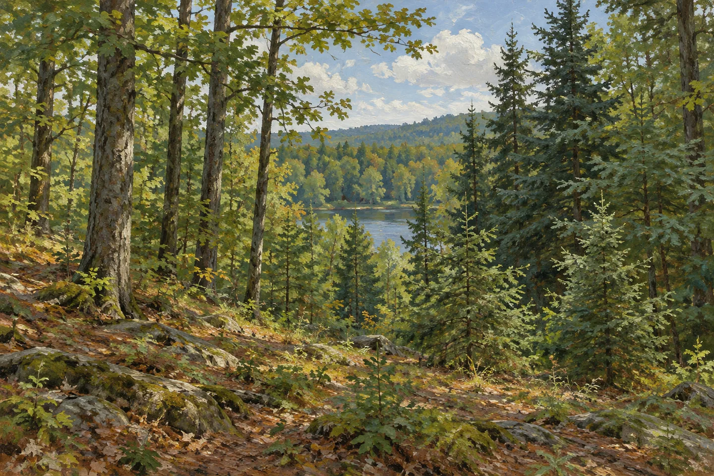
Potato Hill State Forest carries an agricultural past in its name. The 900-acre property in Caroline, Tompkins County, occupies ground once cleared for pasture and farming, later acquired and planted as public forest. A six-acre pond in its northern portion and a section of the Finger Lakes Trail give today's visitor two clear points of interest. The deeper story connects those present woodland surroundings with the hard work of changing the land's use.
The name recalls potato cultivation in the surrounding area. DEC's historical account links that crop with early Irish immigrant farmers, while county records show a substantial decline in production between the mid-nineteenth-century harvests it describes. Those figures concern Tompkins County as a whole. At Potato Hill, the useful connection is more immediate: a woodland name preserves the memory of farming long after trees have become the setting's most conspicuous feature.
Thin, steep and acidic upland soils made agricultural life difficult here. Harsh winters and a short growing season added to the challenge. These conditions help explain why farmland became available for a different purpose, rather than making the forest's establishment seem like an arbitrary change on a map. The state acquired most of the property in 1938 and 1940, followed by additional purchases in 1975 and 1980. Its current extent therefore reflects several stages of assembly.
Reforestation began at considerable scale. Between 1939 and 1941, crews from the Civilian Conservation Corps' Slaterville Springs camp planted more than 602,000 seedlings on Potato Hill. Norway spruce, red pine and white pine were among the most frequently used species. A further 2,000 trees were hand-planted in 1965. These dated planting episodes provide a concrete link between the forest visible today and the work undertaken after farmland entered public ownership.
The planted trees now belong to a property with varied cover and habitat. On a walk, consider how different stand forms relate to that history without trying to assign an exact planting year to every tree. A regular arrangement of similar trees can become a subject of observation alongside the broader mixture of woodland. The forest's identity includes both the original effort to establish tree cover and its continuing management as a changing landscape.
The northern pond adds open water to that setting. DEC describes its habitat value for waterfowl and other animals, including amphibians and aquatic insects. Watch from appropriate access and let the visible water, vegetation and activity determine the moment. The pond can be interesting as a habitat within a largely wooded property even when no animal is immediately apparent. Its six-acre scale also keeps it distinct from the much larger forest around it.
For a defined walking route, the property contains 2.1 miles of marked Finger Lakes Trail, maintained by stewardship partners. The Blackman Hill Road parking reference and Level Green Road approach help locate the forest, while the current map shows how a chosen outing relates to that trail section. Bring the visit back to the landscape's particular sequence: farm ground, state acquisition, large planting campaigns and present woodland around a small pond. Potato Hill makes that sequence unusually easy to connect with a place name.
Fun facts
- Most of Potato Hill State Forest was acquired in 1938 and 1940, with later additions in 1975 and 1980.
- CCC crews planted more than 602,000 seedlings here between 1939 and 1941.
- An additional 2,000 trees were hand-planted in 1965.
- The 900-acre forest contains a six-acre northern pond and 2.1 miles of marked Finger Lakes Trail.
Before you go
- Use the current map to plan the particular Finger Lakes Trail section and its return travel.
- Keep county-wide potato production history separate from the forest parcel itself.
- Observe pond habitat and planted stands from appropriate access.
Capture
- Compare visible planted-stand patterns with other woodland without assigning an unverified age to individual trees.
- Frame the pond with its surrounding vegetation where legitimate access provides a view.
- Keep illustrations conceptual rather than reconstructing an exact trail, pond shoreline or 1930s planting scene.
 Mallet Pond State Forest
 Michigan Hill State Forest
 Orebed Creek State Forest
Social
Potato Hill State Forest keeps an agricultural memory in its name. #Cre8Travel
The 900-acre property lies in Caroline, Tompkins County.
Most land entered state ownership in 1938 and 1940, with later additions in 1975 and 1980.
CCC crews planted more than 602,000 seedlings between 1939 and 1941.
Norway spruce, red pine and white pine were frequent choices in the planting campaign.
A six-acre northern pond adds a different habitat to the woodland setting.
The property includes 2.1 miles of marked Finger Lakes Trail, rather than a single prescribed lake loop.
Look at the relationship between former farm ground and present forest. The place name is one clue to a longer land-use story.
Hashtags