 Cre8Travel
CRE8TRAVEL · NEW YORK PLACES
Debar Mountain Wild Forest
Debar Mountain Wild Forest: A Woodland Journey Along Hays Brook
Discover
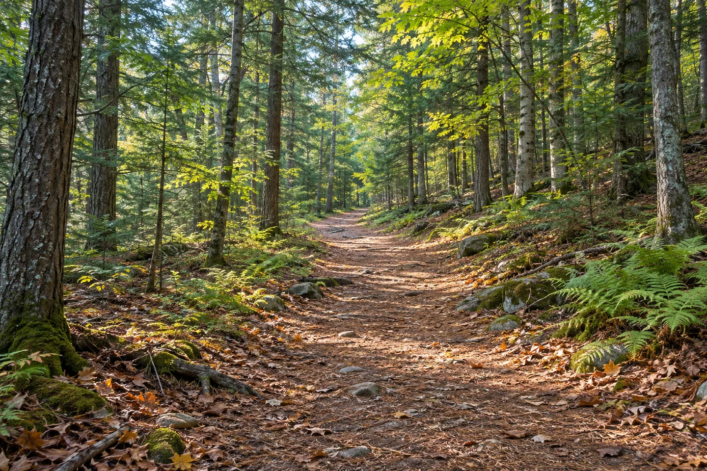
Debar Mountain Wild Forest includes a varied northern Adirondack landscape, with low hills and river valleys between its more prominent peaks. The Hays Brook trail network offers a particularly interesting woodland introduction. Here, a former Civilian Conservation Corps roadway connects with routes toward a pond and a former meadow. A visit can follow one of those threads, giving the changing ground and forest setting as much attention as the destination at the end.
Hays Brook Trail follows the former CCC road for nearly three miles from its trailhead toward the middle reaches of the brook. The historical connection gives a present-day walk another layer: a route built during an earlier period of conservation work continues to carry people into the woods. Notice how the line moves through the terrain and how the tree cover frames the way ahead. The road's purpose has changed, while its relationship with the landscape remains part of the experience.
The route's small overall elevation difference can be misleading if read alone. DEC describes less than ten feet between the trailhead and the end, but the journey includes a hundred-foot ascent and two descents of roughly 35 feet. Those descents become climbs on the return. The detail is useful when choosing an outing: the shape of the ground matters alongside the distance, with smaller changes giving the walk a rhythm of their own.
Grass Pond provides a water-focused alternative from the same network. Its trail leaves Hays Brook Trail about half a mile from the start, then extends 1.4 miles toward the pond. Although the net elevation change is modest, the approach includes descents and rises along the way. A lean-to near the end has a view toward the water. The progression from a broad historical road line to a pond approach gives this outing a distinct character within the larger woodland.
Sheep Meadow supplies a different destination. Its trail branches from Hays Brook Trail 1.4 miles from the trailhead and continues 2.3 miles toward a former sheep meadow. The name connects the setting with another kind of past land use. Again, a small difference in start and end elevations conceals several changes along the route. Choose the approach with the map and allow the return journey to shape the plan, leaving time to appreciate the woodland between the junctions.
A separate Hays Brook Horse Trail connector leaves the main route about 0.9 mile from the trailhead and joins the Sheep Meadow Trail after another 0.9 mile. Together with the relevant connecting sections, DEC describes a 3.4-mile loop option. This creates a different scale of walk from continuing all the way to the former meadow. The junctions give the network flexibility, making it possible to choose a particular combination before travelling into the forest.
Use the current official map and notices to select the intended route and check access. The wider Debar Mountain area includes separate parcels and neighboring land units, so the Hays Brook network is best approached as its own focused outing. Its appeal is a combination of woodland detail and clear historical threads: a CCC road, a pond destination and a former meadow. Follow one of them at a manageable pace, allowing the trees, ground and openings along the way to provide the day's discoveries.
Fun facts
- Hays Brook Trail follows a former Civilian Conservation Corps roadway.
- Grass Pond Trail branches from the main route toward an inland pond.
- Sheep Meadow Trail reaches a former meadow.
- A horse-trail connector helps form a described 3.4-mile loop option.
Before you go
- Use the current map to distinguish the shorter loop from the longer Sheep Meadow approach.
- Consider the intermediate climbs and descents as well as the net elevation change.
- Check current access notices before travelling to the Hays Brook starting area.
Capture
- Use the woodland layers along the selected route to draw attention into a composition.
- At suitable public access near Grass Pond, compare reflections with the surrounding tree forms.
- Use soft light to retain detail in branches and shaded ground while remaining on the chosen route.
 Saranac Lakes Wild Forest
 Wilmington Wild Forest
 Hammond Pond Wild Forest
Social
The Hays Brook network offers a woodland introduction to Debar Mountain Wild Forest. #Cre8Travel
Its main trail follows a former CCC roadway.
Grass Pond adds a water-focused destination.
Sheep Meadow connects with a different chapter of past land use.
A separate connector helps create a shorter loop option.
Small net elevation changes still include several climbs and descents.
Select one mapped outing and plan the return journey.
Would you follow the old road or choose the pond approach?
Hashtags