 Cre8Travel
CRE8TRAVEL · NEW YORK PLACES
Clark Preserve
Clark Preserve: A Former Farm Revealed Through Woodland
Discover
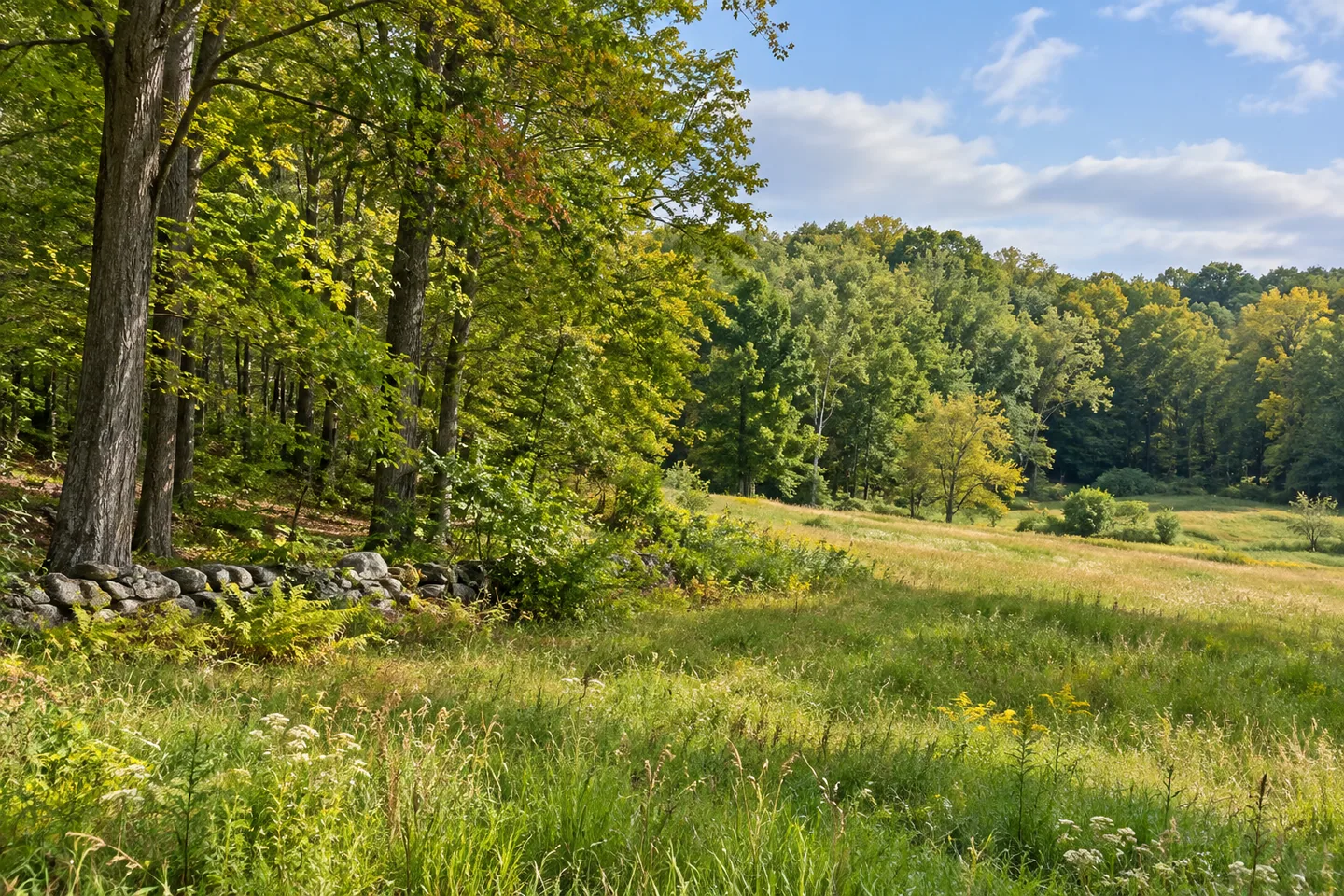
Clark Preserve makes the changes within a former farm visible at a walking scale. Its 76 acres in Pound Ridge contain woodland, wetlands and a five-acre meadow, connected by an intersecting trail system. Stone walls, an old root cellar and differences among the trees add further layers to the setting. Rather than treating the preserve as a single kind of forest, a visit can follow the relationships between those elements and the earlier uses that helped shape them.
Ben and Charlotte Clark donated the property to Pound Ridge Land Conservancy in stages, in 1987,1994 and 1997. The preserve is also part of a broader ecological corridor along eastern Westchester County, with Ward Pound Ridge Reservation farther north. That relationship gives the site a wider conservation context without making the two properties one continuous visitor route. Clark has its own boundary, trails and landscape details, all worth understanding on their own terms.
The former agricultural ground is an especially useful theme. Fields were allowed to become fallow and gradually return to trees, producing woodland of different types and ages. Stone walls help delineate those changes. A root cellar survives as another feature from the property's farming history. Together, these details show why a woodland can contain evidence of earlier open land even when the trees now dominate the view. The history is present in several kinds of features, not only in a single structure.
The trails provide different perspectives on that varied ground. The yellow route has the greatest elevation change, while the red-blue route passes in and out of a corridor beside water. A bog-bridge crosses a wetland meadow and blueberry swamp in the northeastern part of the preserve. Choose a route that suits the intended outing, and keep the distinction between a documented crossing and other wet ground clear. The presence of one bridge does not imply maintained access through every part of the wetland.
The upper trail reaches an overlook and then a field with cedars and dogwood. Elsewhere, black birch, white oak, beech and tulip trees contribute to the woodland's character. These are useful subjects for observation without requiring a long species checklist. Compare the shapes of the vegetation and the transitions between open and enclosed spaces. The trail system totals about two miles, but intersecting routes do not make every possible combination an identical circuit.
The meadow adds another kind of pause. A memorial viewing bench dedicated to former board member Matt Coulter provides a place from which to study it. The conservancy describes bird habitat across meadow, woods and wetland, while noting that some animals are rarely seen except through their tracks. An outing need not depend on a sighting. Looking at the different settings available to wildlife is already a way to understand why the preserve's range of habitats matters.
An information kiosk near the parking area helps establish the practical starting point. From there, let the documented routes and the ground's changes guide the visit. Clark's particular appeal comes from how many stages of land use remain legible within a modest area: farm features, fallow fields, mature trees and wetland edges. Keeping those distinctions in view makes the preserve more meaningful than a general description of a pleasant woodland walk could convey.
Fun facts
- The Clarks donated the preserve in stages in 1987,1994 and 1997.
- The 76-acre property includes a five-acre meadow.
- Stone walls and an old root cellar remain from earlier agricultural use.
- A bog-bridge crosses wetland in the northeastern part of the preserve.
Before you go
- Choose between the intersecting routes deliberately; the yellow route has the greatest elevation change.
- Use the documented bog-bridge rather than assuming access through other wet ground.
- Keep Clark Preserve distinct from the broader corridor and nearby Ward Pound Ridge Reservation.
Capture
- Relate a stone wall to the changing woodland around it without staging a historical reconstruction.
- From a legitimate trail, compare the open meadow with wooded edges.
- Use the shapes of vegetation beside the documented wetland crossing as a subject, keeping feet and equipment on the appropriate route.
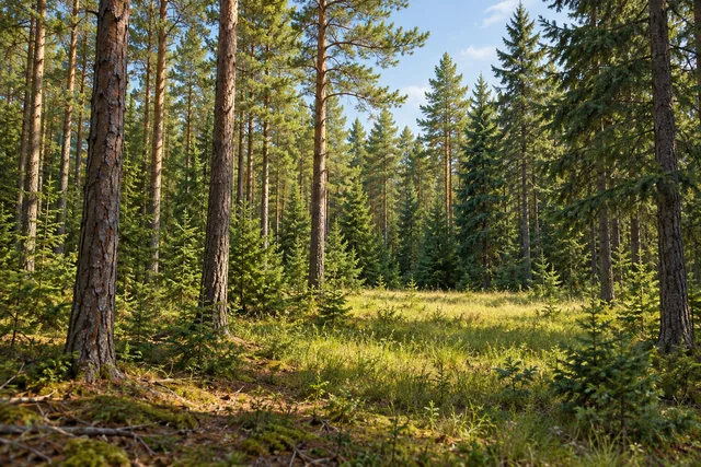 Cinnamon Lake State Forest
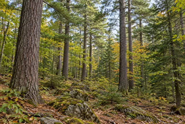 Cold Spring Brook State Forest
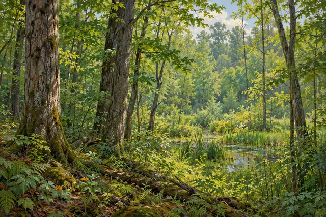 College Lodge Forest
Social
Clark Preserve brings former farm features, woodland, wetland and meadow together in Pound Ridge. #Cre8Travel
Ben and Charlotte Clark donated the property in stages in 1987,1994 and 1997.
Its 76 acres include a five-acre meadow and an intersecting trail system.
Stone walls and an old root cellar provide specific reminders of the land’s agricultural past.
Fields left fallow became woodland of different types and ages, with walls helping mark the changes.
The yellow trail has the greatest elevation change; the red-blue route follows a different relationship with water and woodland.
A bog-bridge crosses wetland in the preserve’s northeast. Keep to the documented crossing rather than treating all wet ground as a route.
A meadow bench offers a place to notice habitat even when no animal appears. What changes do you see between open ground and trees?
Hashtags