 Cre8Travel
CRE8TRAVEL · NEW YORK PLACES
Cinnamon Lake State Forest
Cinnamon Lake State Forest: A Working Woodland Beyond Its Name
Discover
The name Cinnamon Lake can suggest an outing organized around a broad expanse of public shoreline. The state forest's description is more modest and more interestingly specific: its 1,786 acres include only a very small section of pond edge. Much of the property's story lies away from that limited water frontage, in its history of land purchases, tree planting and continuing forest management. Starting with those facts gives the place an identity beyond the expectation created by its name.
The forest extends into the Town of Orange in Schuyler County and the Town of Hornby in Steuben County. That cross-county setting is worth keeping clear, especially when comparing maps or planning an approach. A single forest name covers land on both sides of that administrative line. DEC identifies several access references, including parking associated with Stonemound Trail, Lloyds and Cinnamon Lake, rather than presenting the property as one developed waterfront destination.
Its public history began early in the state's reforestation program. The 2013 Six Nations management plan records the first purchases in 1932, followed by additions during several later periods. One particularly well-defined addition came in 1965, when 37 acres were acquired under the Park and Recreation Land Acquisition Act. That parcel helps make a general acquisition history concrete: what is now forest included individual pieces of land entering public ownership at different times.
The same parcel preserves a small sequence of agricultural and forestry work. Standing hay was sold from its open field in 1965 and 1966; red pine was planted there in 1967. The dates distinguish a land purchase from the later change in its vegetation. They also offer a useful way of reading this forest: a stand of planted trees can represent a specific decision about a former field, rather than simply an area where woodland happened to appear.
Other stands have their own documented histories. Norway spruce on Forks Road was planted in 1932 and later thinned repeatedly, including work recorded in the 1950s,1960s and 1998. Tree planting and later tending are therefore both part of the landscape's story. A visitor does not need to identify every stand to appreciate that difference. The forest has been managed over generations, with changes taking place long after the initial planting work.
Recreation must fit the property's actual level of development. Hiking and several other nonmotorized activities are allowed, but DEC does not identify designated trails or maintained areas for them. The separately designated winter motorized routes should not be mistaken for a maintained walking network. Likewise, primitive camping is permitted without developed campsites. Those distinctions are more useful than assuming a particular set of visitor facilities from a map label or a forest name.
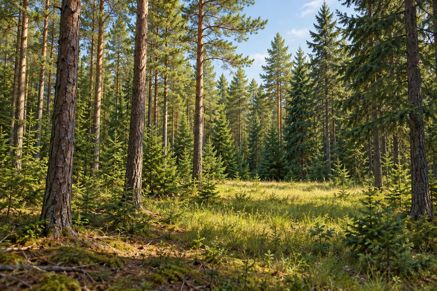
For an observation-centered outing, focus on the woodland and the traces of its working history where they can be seen from a legitimate route. Compare the forms and arrangement of planted trees, and consider how a former hay field became part of a public forest. The small amount of pond edge is one feature within that larger setting. Cinnamon Lake becomes most distinctive when its land-use history, cross-county extent and modest recreation infrastructure are kept together.
Fun facts
- The forest extends into Schuyler and Steuben Counties.
- The first purchases recorded in the 2013 management plan date to 1932.
- A 37-acre addition was acquired in 1965.
- Hay was sold from that added parcel in 1965 and 1966 before red pine planting in 1967.
Before you go
- Do not assume the forest provides a long public shoreline; DEC describes only a small section of pond edge.
- Treat designated winter motorized routes separately from hiking; there are no designated maintained hiking trails.
- Do not expect developed camping facilities.
Capture
- Explore the repeating forms of planted trees without claiming an exact stand identity from appearance alone.
- Where legally visible, show the transition between open ground and woodland rather than inventing a lakeshore circuit.
- Choose an illustrative woodland composition instead of reconstructing facilities or a distinctive shoreline without a reference.
 Catherineville State Forest
 Clark Preserve
 Cold Spring Brook State Forest
Social
Cinnamon Lake State Forest includes only a small section of pond edge. Its larger story is a working woodland. #Cre8Travel
The 1,786-acre forest reaches into the Town of Orange in Schuyler County and Hornby in Steuben County.
The first state purchases recorded in the management plan date to 1932.
A 37-acre addition in 1965 preserves a particularly clear chapter of land-use change.
Hay was sold from its field in 1965 and 1966; red pine followed in 1967.
Norway spruce along Forks Road has a documented history of planting and repeated thinning.
Permitted hiking does not mean a maintained hiking network. DEC distinguishes the property’s limited infrastructure from its designated winter motorized routes.
Look beyond the name and consider the separate histories of the trees. Which clues might show a woodland’s earlier life as agricultural ground?
Hashtags