 Cre8Travel
CRE8TRAVEL · NEW YORK PLACES
Clapper Hollow State Forest
Clapper Hollow: Pond, Brook and a Reforestation Landscape
Discover
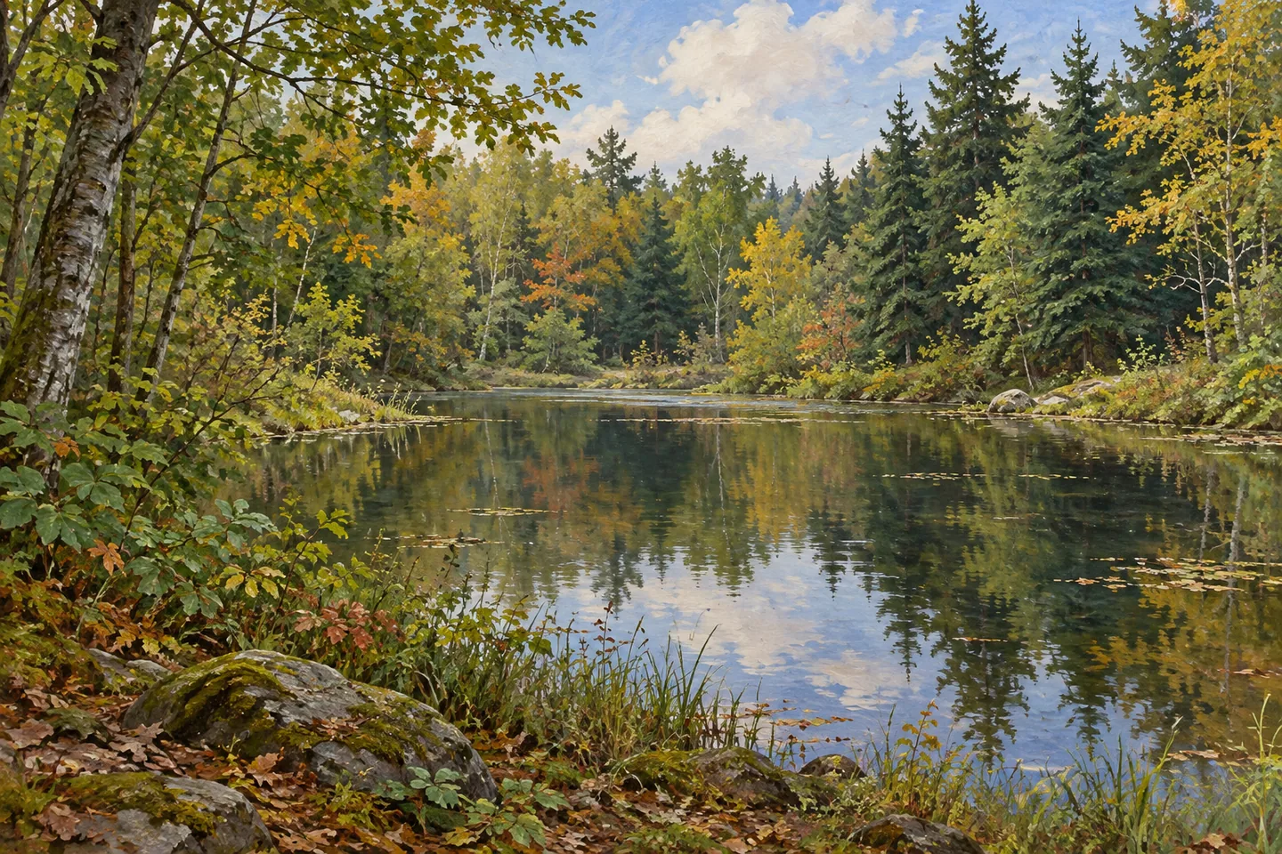
Clapper Hollow State Forest offers a compact set of contrasts in the Town of Jefferson, Schoharie County. Its 818 acres contain naturally established and planted woodland, a small pond and a brook with its own route through the landscape. An eight-mile winter trail network provides another way to understand the property, with marked paths also available for walking outside winter. The combination gives a visit several possible subjects without requiring the forest to have one single signature attraction.
The land entered state ownership in the 1930s, when marginal and abandoned farmland was acquired for reforestation. That history helps explain the mixture of woodland types described today. Some trees belong to planted stands, including young spruce, while other parts of the forest developed differently. Rather than seeing every tree as part of one uniform setting, consider the relationship between former agricultural ground and the later work of bringing it into public forest use.
The marked cross-country routes form a network rather than an eight-mile circuit every visitor must complete. During non-winter months they can be used for hiking. Choose a combination and turning point that fit the intended outing, keeping its actual distance separate from the size of the whole system. The route is a way to move through the forest's different elements, not merely a mileage target to finish before leaving.
A small pond in the northeastern part of the property has a lean-to beside it. This gives the waterbody a particular place within the forest's documented recreation setting. It does not establish a developed lakeside campground, a swimming area or facilities around the entire shoreline. For an observation-focused walk, the pond can simply provide a change in scale, with open water set against the surrounding trees where a legitimate route makes it visible.
Clapper Hollow Brook provides a second water story. The classified trout stream runs north to south along Cottage Road and has a documented access reference nearby. Keep it distinct from the small northeastern pond: two features on one property can have different approaches and purposes. Water moving along a road corridor and a smaller still-water setting offer different things to notice, without needing a promise of fish, a particular sound or an invented path following every bend.
The planted spruce stands add a habitat theme. DEC identifies their value for rabbits, a specific relationship between vegetation and wildlife that can be appreciated without a sighting. Looking at the density and form of a stand may be a more dependable subject than trying to find an animal on demand. Keep the comparison within what is visible from the appropriate route, and avoid turning the presence of habitat into a reason to enter young planting areas.
The Clapper Hollow Road parking area is the principal documented starting reference, approximately a mile from its junction with Route 10. From there, let the chosen route bring the forest's different subjects together: reforested farmland, planted stands, pond and brook. Its scale is modest compared with a large wilderness, but those details give it a particular identity. A visit becomes more informative when the differences among them remain clear rather than being compressed into a generic walk through the woods.
Fun facts
- The 818-acre forest was purchased during the 1930s for reforestation of marginal or abandoned farmland.
- An eight-mile cross-country trail network can also be used for hiking outside winter.
- A lean-to is located beside a small pond in the northeastern part of the property.
- Clapper Hollow Brook runs north to south along Cottage Road.
Before you go
- Keep the network’s total mileage separate from the particular route selected.
- Treat the northeastern pond and Cottage Road brook as different features with different access references.
- Observe young spruce stands from appropriate routes rather than entering planting areas.
Capture
- Where visible from a legitimate route, contrast the pond’s open water with surrounding trees.
- Compare the shapes of planted spruce and mixed woodland without assigning unverified stand dates.
- Keep any image general rather than reconstructing the lean-to, an exact stream route or a wildlife encounter.
 Chestnut Woods State Forest
 Clay Pond Wildlife Management Area
 Cliffside State Forest
Social
Clapper Hollow State Forest brings woodland, a small pond and a brook together on 818 acres in Jefferson. #Cre8Travel
The state purchased the land in the 1930s to reforest marginal or abandoned farmland.
Natural and planted woodland contribute different layers to the property.
Its eight-mile winter trail network can be used for hiking outside winter, but that total is not one compulsory loop.
A small pond and lean-to occupy the northeastern part of the forest.
Clapper Hollow Brook is a separate water feature running north to south along Cottage Road.
Young spruce stands provide rabbit habitat. Habitat value does not make a sighting part of every outing.
Choose a route and notice how the different elements relate. A modest forest can tell several specific landscape stories.
Hashtags