 Cre8Travel
CRE8TRAVEL · NEW YORK PLACES
Chestnut Woods State Forest
Chestnut Woods: A Forest Along the Vermont Line
Discover
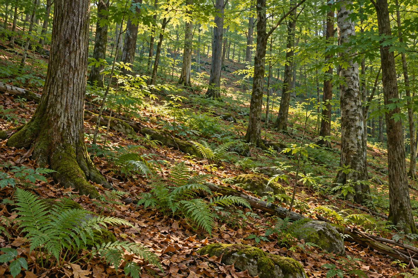
Chestnut Woods State Forest has a distinctive position on the map: its eastern edge meets the New York-Vermont boundary. The property lies in White Creek, Washington County, east of Mount Tom State Forest. Its elongated shape runs north to south and narrows in the southern half. Those geographical details give a visit a more particular starting point than a forest name alone, especially because former logging roads rather than an official marked trail system provide the documented routes through the land.
The forest covers a little over 800 acres according to DEC's public description. The 2017 Northern Piedmont management plan gives additional context, describing an approximately 801-acre property and noting that area figures can vary among surveys, tax records and mapped information. The useful point for a visitor is the property's particular shape and boundary, rather than trying to turn several historical measurements into one supposedly more precise present-day total.
The acquisition history reaches back to 1933. The management plan lists several separate purchases during that year, followed by additional parcels in 1964 and 1965. They were brought together as Washington County Reforestation Area 2, later associated with the Chestnut Woods name. This is a story of assembled land rather than one complete property entering public ownership in a single transaction. A boundary on today's map can conceal several earlier ownerships and decisions.
Elevation adds another dimension. The plan describes ground rising from about 880 feet to approximately 1,960 feet, while the forest's southern portion is relatively narrow from east to west. These are reasons to read the landscape's shape alongside the proposed route. A short-looking line across a narrow part of the map does not establish an easy path, and an old road is not automatically a maintained circuit. The recorded range in elevation gives the woodland a specific topographical setting without promising a summit destination or open viewpoint.
The water connections extend beyond the property. Drainages from Chestnut Woods feed the Walloomsac River, which flows into the Hoosic and then the Hudson. It is a useful larger-scale relationship to consider while looking at an otherwise ordinary wooded slope. The forest's position beside a state boundary does not make its drainage stop at an administrative line. At the same time, that geographical connection does not create a public path following every stream or access to all downstream land.
Chestnut Hill Road provides the documented approaches, including access near the southern end and another point farther north. Private property adjoins the forest, and DEC explicitly asks visitors to respect it. Former logging roads are open for several recreation uses, but there are no designated maintained areas for those activities. Choose an outing around the actual public boundary and appropriate route, without assuming that every visible continuation remains within state land.
The most distinctive things to notice here may be relationships rather than individual landmarks: the long forest shape, the rise and fall of ground, the old working routes and the wider drainage system. The name alone does not establish a particular tree community or a stand of ancient trees. Chestnut Woods becomes more informative when its own acquisition and geographical history remain separate from the stories of neighbouring forests, while the visit stays within the land and routes actually available.
Fun facts
- The forest’s eastern boundary meets Vermont.
- The acquisition table records purchases in 1933 and later additions in 1964 and 1965.
- The 2017 plan describes an elevation range of about 880 to 1,960 feet.
- Drainages flow toward the Walloomsac, then Hoosic and Hudson Rivers.
Before you go
- Use Chestnut Hill Road’s documented approaches and respect adjoining private property.
- Do not treat former logging roads as a maintained, marked trail circuit.
- Keep Chestnut Woods distinct from the tree-community and old-growth descriptions of neighbouring forests.
Capture
- Study the relationship between wooded slope and changing terrain from a legitimate route.
- Use ordinary woodland forms without assuming that the forest name identifies the dominant tree species.
- Keep an illustration general instead of reconstructing a summit view, historical property boundary or exact old road.
 Armstrong Preserve
 Clapper Hollow State Forest
 Clay Pond Wildlife Management Area
Social
Chestnut Woods State Forest meets Vermont along its eastern boundary. #Cre8Travel
Its elongated property runs north to south in White Creek, Washington County.
The acquisition history includes several 1933 purchases and later additions in 1964 and 1965.
The 2017 management plan records elevations from about 880 to 1,960 feet.
Local drainage leads toward the Walloomsac, Hoosic and Hudson Rivers, connecting the forest to a much larger watershed.
Former logging roads provide recreation routes, but there is no official maintained trail circuit.
Private land adjoins the property. An old road’s visible continuation is not proof of public access.
Read this forest through its own boundaries and history rather than borrowing the old-growth story of a neighbouring property.
Hashtags