 Cre8Travel
CRE8TRAVEL · NEW YORK PLACES
Canada Creek State Forest
Canada Creek State Forest: A Closer Look
Discover
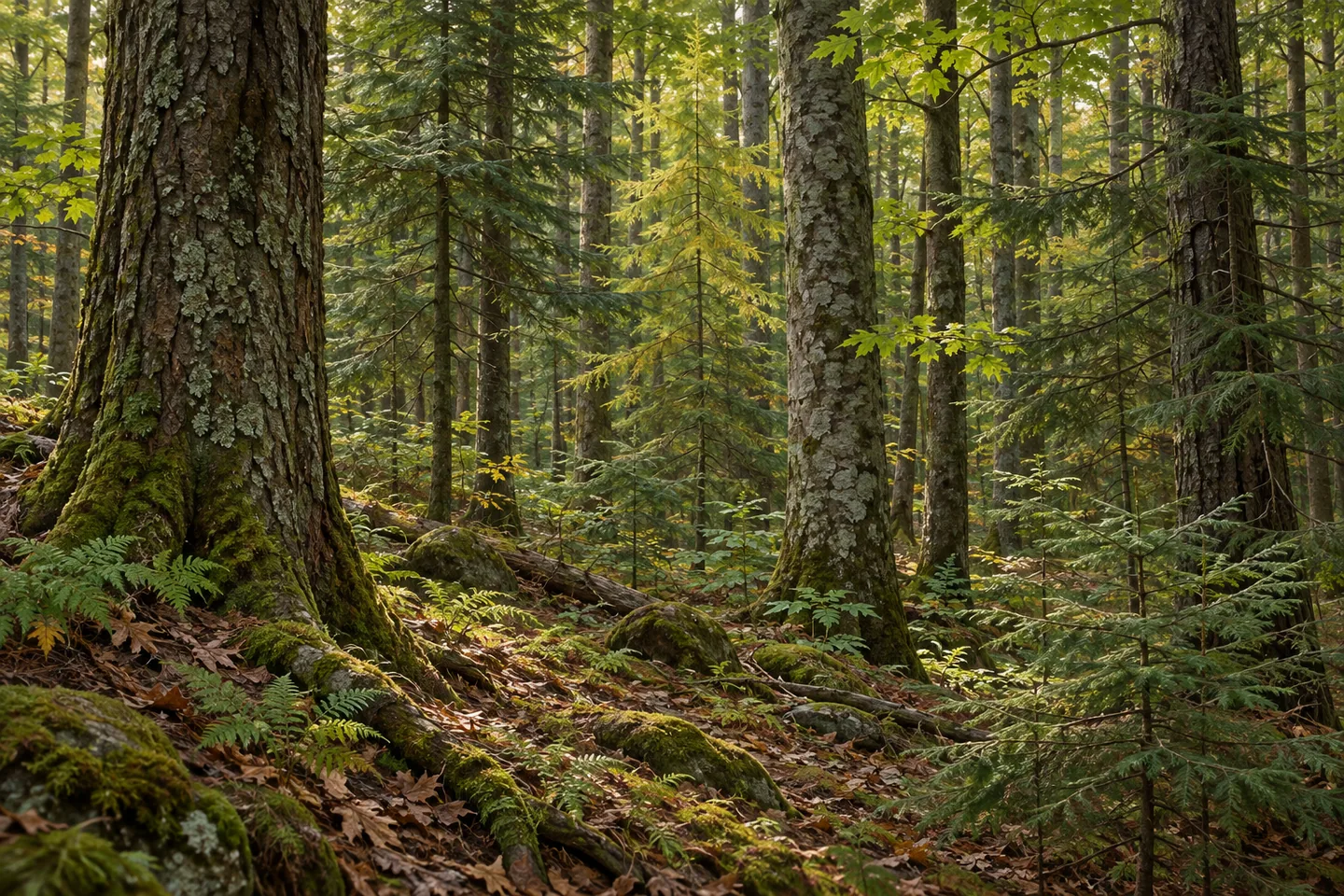
Small local streams give Canada Creek State Forest its name, even though the waterways within the property flow onward into Canada Creek. The 627-acre forest in Lee, Oneida County, consists of two parcels purchased in 1939. Its hilly ground includes streams, swamps and meadows alongside planted and natural woodland. That mixture offers several ways to pay attention to the place without reducing it to a single waterside attraction.
The New York State Department of Environmental Conservation (DEC) established the property for reforestation, wildlife, timber, recreation and watershed protection. The water connection in the name makes the last of those purposes particularly useful to consider. A small stream inside a forest can belong to a larger drainage story, while the map still needs to distinguish the state parcels from neighboring ground. Do not assume that following water also follows public land.
A 2.17-mile trail runs from the northern boundary toward the southwestern corner. A separate 0.1-mile multiple-use trail provides access from Capron Road. Those are two route descriptions, not a combined loop or a promise that one parking place reaches every part conveniently. Select the appropriate approach and return using the property map and current designations, keeping the two-parcel layout in mind as part of the planning.
Parking is limited. DEC lists no official parking areas and explicitly urges care when using roadside pull-offs. Its road approach from Lee Center uses Harris Road, with a southern trailhead reference in the visitor information. Resolve the stopping arrangement and present conditions before committing to the outing. The absence of an official lot is a meaningful difference from a developed trailhead, even when a route appears straightforward as a line on a map.
The forest's planting history includes projects in the early 1940s and 1950s. Pine, larch and spruce belong to that history, while natural forest includes hemlock, red maple, black cherry, yellow birch, red spruce, aspen and gray birch. From an appropriate route, compare woodland forms and textures rather than trying to make every species appear in one view. Planted and natural stands offer different questions about how the present landscape developed.
DEC's account also records the loss of planted elm to Dutch elm disease. That historical observation gives another dimension to the planting story: what was planted and what remains are not necessarily the same list. It is a reason to describe the forest with attention to change, rather than treating an old species inventory as a guarantee of a tree waiting beside a particular trail. No wildlife encounter is needed to make that history interesting.
Management follows the Oneida Hills Unit Management Plan. Follow posted conditions, Leave No Trace guidance and current route restrictions, which differ for some uses when designated winter routes are snow-covered. For photographs, work with the woodland or water actually visible from your appropriate position. Canada Creek's combination of two parcels, drainage connections and different generations of trees gives a grounded story, with practical roadside access kept at the center of the decision to visit.
Fun facts
- Canada Creek State Forest covers 627 acres in two parcels purchased in 1939.
- Streams within the property flow into Canada Creek.
- A 2.17-mile route runs from the northern boundary toward the southwestern corner.
- A separate 0.1-mile multiple-use trail provides Capron Road access.
- DEC lists no official parking areas and cautions about roadside pull-offs.
Before you go
- Choose an approach and return appropriate to the two-parcel map.
- Keep the long route distinct from the short Capron Road access trail.
- Resolve roadside parking and present conditions before visiting.
- Do not follow a watercourse beyond public land boundaries.
- Check current route restrictions and follow Leave No Trace guidance.
Capture
- Compare planted and natural woodland textures where visible from the route.
- Use a stream view only from an appropriate actual position, without implying a continuous creekside trail.
- Tree form can illustrate the planting story without suggesting every historical species remains present.
 Buck Hill State Forest
 Clark Hill State Forest
 Cobb Brook State Forest
Social
Canada Creek State Forest covers 627 acres in two parcels purchased in 1939. #Cre8Travel
The streams within Canada Creek State Forest drain onward into Canada Creek. #Cre8Travel
A 2.17-mile route runs from the northern boundary toward the forest's southwestern corner. #Cre8Travel
A separate 0.1-mile trail provides access from Capron Road. That does not establish a complete loop. #Cre8Travel
DEC lists no official parking areas at Canada Creek State Forest and urges care with roadside pull-offs. #Cre8Travel
Planting in the early 1940s and 1950s adds a historical layer to Canada Creek's natural woodland. #Cre8Travel
The forest account records planted elm lost to Dutch elm disease: planting lists and surviving trees are different stories. #Cre8Travel
At Canada Creek, would you focus on drainage connections or the history carried by different woodland stands? #Cre8Travel
Hashtags