 Cre8Travel
CRE8TRAVEL · NEW YORK PLACES
Canacadea State Forest
Canacadea State Forest: The Road, the Vista and the Earlier Landscape
Discover
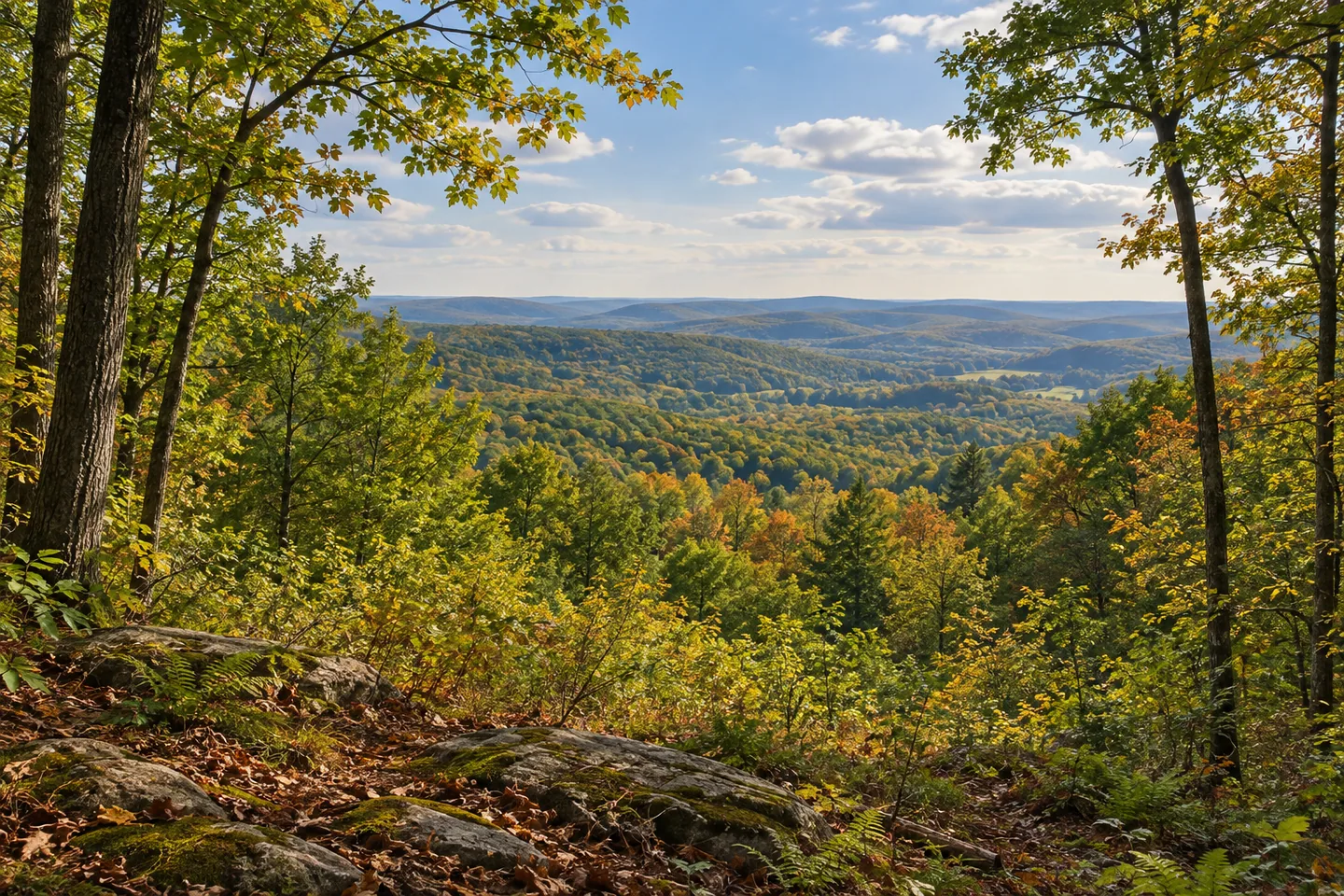
Canacadea State Forest has a particularly useful point of orientation: a maintained scenic vista at the end of the northern branch of its public access road. That specific destination stands apart from the less developed ground around it. Across 1,623 acres in the Town of Hornellsville, the forest contains old farm lanes, former skid roads and unmarked deer paths rather than an established network of maintained hiking trails. Planning around that distinction makes the place easier to understand.
The approach begins from State Route 21 in Almond, following Erie Street to the Department's road. Its two branches end at parking areas, with the vista on the north fork. The public access road is unpaved and is not plowed during winter. Those conditions matter more than assuming that a road shown on a map offers the same approach throughout the year. This is a landscape where the access itself should help determine the scale and timing of an outing.
The history behind the forest stretches beyond the present road arrangement. The 2018 draft Canisteo River Basin management plan records the first purchases in 1941, followed by additional reforestation acreage in 1951. Further parcels were added in 1963 and 1980. As at many state forests, the current boundary is the result of several transactions rather than a single piece of land changing hands. The separate dates make that gradual assembly unusually clear.
The plan records a 1946 land transfer for the Almond Dam flood-control project and a separate 1967 transfer from the US Army Corps to the Department. That does not turn a forest visit into a dam tour, or make nearby water automatically accessible from every route. It does show why the surrounding landscape cannot be explained solely through trees. Public works, land ownership and forest management have all contributed to the area's story, with different purposes operating at different scales.
On the ground, the old farm lanes and skid roads offer evidence of earlier ways of using the land. A farm lane belongs to a different chapter from a route associated with timber work, even when both now pass through woodland. Think of those routes as clues to the property's changing uses rather than as interchangeable hiking trails. DEC specifically describes the informal paths as unmarked and unmaintained, so an apparent opening is not proof of a prepared or continuous route.
The northern vista provides a more clearly identified focus. It can offer a deliberate pause within an outing shaped around the documented road, without the need to invent a summit walk or a longer circuit. For photography, consider how a wide view differs from a closer study of roadside vegetation and woodland texture. These are ways of looking at what is available, not a promise of particular weather, an unobstructed seasonal panorama or permission to leave public land.
Canacadea is managed for several purposes, including timber, wildlife habitat, water protection and recreation. Its interest lies partly in seeing those purposes beside the traces of older land uses. The road branches, the documented vista and the former working routes give the forest its own identity. A visit built around those specifics will be more meaningful than arriving with a generic expectation of marked trails, developed camping facilities or guaranteed wildlife encounters.
Fun facts
- The first state purchases recorded in the management plan date to 1941.
- Additional parcels were acquired in 1951, 1963 and 1980.
- The maintained scenic vista is at the end of the access road’s northern branch.
- The unpaved public access road is not plowed during winter.
Before you go
- Use the north fork for the documented scenic vista and its parking area.
- Account for the unpaved road and the absence of winter plowing.
- Do not treat unmarked, unmaintained deer paths and old working routes as a signed hiking network.
Capture
- At the documented vista, explore the balance between a wide landscape and foreground vegetation without promising a particular seasonal view.
- Use woodland textures along a legitimate route as a quieter alternative to a broad panorama.
- Compare the visual character of an old road with the surrounding trees, keeping the image conceptual if no exact reference is available.
 Stewart State Forest
 Line Brook State Forest
 Lower Salmon River State Forest
Social
Canacadea State Forest’s maintained scenic vista is reached at the end of the northern access-road branch. #Cre8Travel
The forest covers 1,623 acres in the Town of Hornellsville, Steuben County.
State purchases began in 1941. Later additions in 1951, 1963 and 1980 helped assemble the present forest.
Its history also intersects with the Almond Dam flood-control project through land transfers recorded in the 2018 draft management plan.
The public access road is unpaved and is not plowed during winter. Plan around actual access conditions.
Old farm lanes and skid roads tell different stories about earlier work on the land. They are not automatically maintained hiking trails.
DEC describes the informal deer paths and old routes as unmarked and unmaintained. A visible opening is not a signed circuit.
A vista, two road branches and the traces of earlier land use give Canacadea a more specific story than “a walk in the woods.” What would you notice first?
Hashtags