 Cre8Travel
CRE8TRAVEL · NEW YORK PLACES
Cameron Mills State Forest
Cameron Mills State Forest: A Landscape Assembled Over Time
Discover
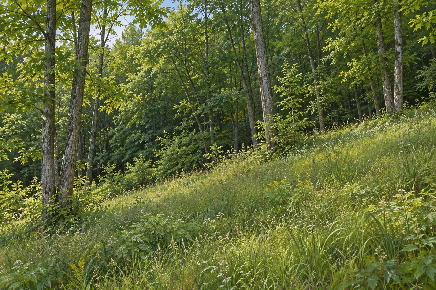
Cameron Mills State Forest is a place to understand before setting off across it. Its 544 acres occupy part of the Town of Cameron in Steuben County, where the landscape includes steep ground as well as woodland. There is no system of designated hiking trails, and no purpose-built parking lot waiting at a trailhead. That combination gives the property a different character from a recreation park: this is state forest land with a history of assembly, management and limited infrastructure.
The forest did not enter public ownership in a single transaction. Its acquisition began in 1948 and concluded in 1963. The state's 2018 draft Canisteo River Basin management plan records four parcels purchased from three landowners, eventually combined as Steuben Reforestation Area 18. Cameron Mills became the name attached to that collection. The dates are a useful reminder that a continuous green area on a map can have a much more complicated ownership history beneath it.
The same plan describes elevations ranging from 1,040 to 1,727 feet and identifies Cameron Creek and a large sloping grassland as significant terrain features. Those details make this more than an undifferentiated block of trees. Creek, open ground and changing elevation provide different elements to notice when studying the property. They do not, however, establish a maintained creekside path, a summit destination or an unrestricted route through adjoining land.
Pump Station Road is the practical reference point for access. Approaching from the hamlet of Cameron Mills, the route follows County Route 119 west before turning north onto that road, which divides the forest. DEC describes roadside parking along Pump Station Road rather than a designated lot. The distinction matters when planning a visit: access here is not organized around the facilities, signs and mapped walking circuits that visitors might expect from a developed park.
The southern approach requires particular care. Near County Route 119, also called River Road, DEC identifies shale cliffs and large talus slopes, together with a lack of adequate off-road parking. These are reasons to avoid treating a tempting roadside view as an invitation to stop or scramble. The forest's description supports a cautious, prepared approach, not an improvised cliff exploration. A walk should remain within the conditions and access that the individual visitor can assess responsibly.
Cameron Mills is also a working conservation landscape. Its management combines timber production with protection of water, wildlife habitat and compatible recreation. That mix offers another way to think about the property: the absence of elaborate visitor facilities does not mean the land has no purpose beyond looking green. Its public role includes resources and ecological functions that are less immediately visible than a signed attraction or a constructed viewpoint.
For a visit centered on observation, the most useful question is what the terrain actually presents, rather than what a forest outing is supposed to contain. Look for contrasts between open ground and woodland where they are visible from a legitimate route. Let the documented limits shape the outing. Cameron Mills rewards attention to the particular place it is: a comparatively undeveloped forest assembled over fifteen years, with a creek, sloping grassland and terrain that deserves respect.
Fun facts
- Public acquisition began in 1948 and was completed in 1963.
- Four parcels from three landowners were combined as Steuben Reforestation Area 18.
- The 2018 draft management plan identifies Cameron Creek and a large sloping grassland as terrain features.
Before you go
- Use Pump Station Road as the documented access reference; do not expect a designated parking lot.
- Avoid stopping or scrambling around the shale cliffs and talus slopes near County Route 119.
- Plan for an undeveloped property without a marked hiking circuit.
Capture
- Where visible from a legitimate route, compare open ground with the woodland edge rather than searching for an invented overlook.
- Use a wider composition to show changing terrain without approaching cliff edges.
- Look for contrasting shapes and textures in the vegetation; keep the scene free of staged wildlife.
 Cicero Swamp Wildlife Management Area
 Stanley J. Hamlin Marsh Wildlife Management Area
 Cameron State Forest
Social
Cameron Mills State Forest did not become public land all at once. Its acquisition stretched from 1948 to 1963. #Cre8Travel
Four parcels, three landowners, one later forest name: Cameron Mills was assembled as Steuben Reforestation Area 18.
The 2018 draft management plan identifies Cameron Creek and a large sloping grassland among the forest’s terrain features.
This 544-acre Steuben County property has no designated hiking-trail system. A forest map is not a promise of a prepared walking circuit.
Pump Station Road divides the forest and provides the documented access reference. Parking is roadside rather than in a designated lot.
DEC identifies shale cliffs and talus slopes near County Route 119. Leave improvised roadside scrambles out of the plan.
Timber, water, wildlife habitat and recreation all belong to the management story here. Facilities are only one measure of what public land does.
What changes when you read a forest as an assembled landscape rather than a single attraction? Cameron Mills gives that question a specific setting.
Hashtags