 Cre8Travel
CRE8TRAVEL · NEW YORK PLACES
Big Brook State Forest
Big Brook State Forest: A Closer Look
Discover
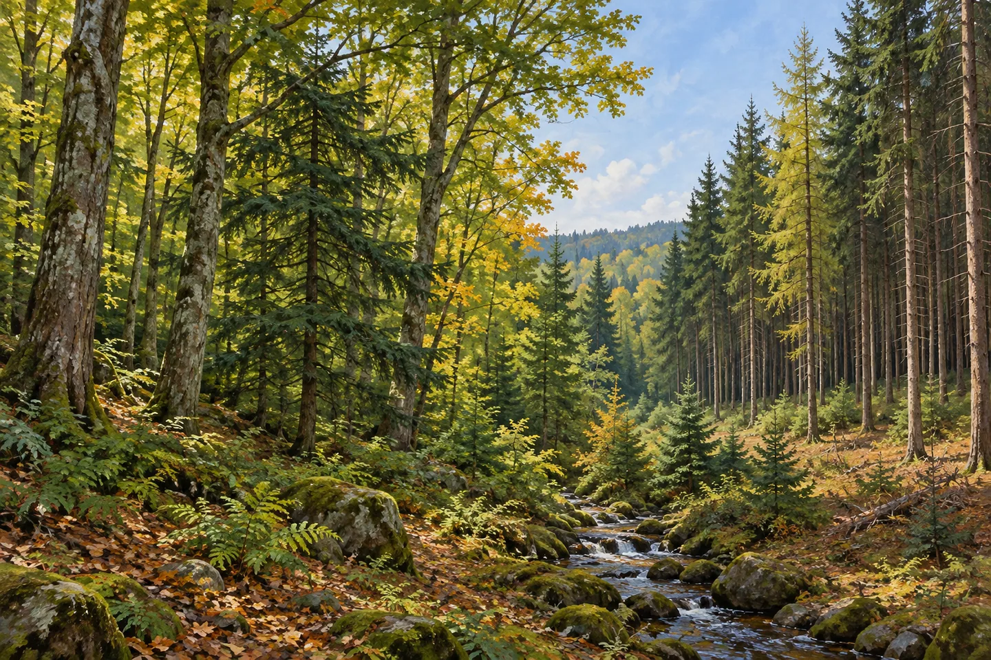
A public forest can have more than one distinct planting history, and Big Brook makes that idea worth considering. Its 3,879 acres span Florence in Oneida County and Lewis in Lewis County, with natural forest, plantations, streams, wetlands and ponds. The land was assembled over decades, and the trees carry several periods of planting. Rather than seeking one defining landmark, a visit can follow the differences within the woodland itself.
Most land acquisition began around 1930 and continued through the 1960s, with additional parcels added in 1972, 1988, 1992 and 1995. Those dates describe a forest built up in stages, not one purchase followed by one planting project. They give the property a useful human timescale. A modern boundary can contain ground with different acquisition histories even when the map presents it as a single state forest.
Planting took place in the late 1930s, the 1940s and the early 1950s. Pine, spruce, larch and other species were used across those projects. The New York State Department of Environmental Conservation (DEC) distinguishes the historical planting list from the mixture remaining in plantations today, which includes red, white, Scotch and jack pines, Norway and white spruce, and Japanese and European larch. Not every tree planted in the past needs to remain present for the history to matter.
Natural woodland includes northern hardwood and hardwood-hemlock communities. Maples, black cherry, beech, aspen, yellow birch and hemlock are among the trees in DEC's description. For an observation-focused walk, compare forms and textures where they are visible along the route rather than trying to identify the entire list. The relationship between plantation and natural forest can provide a theme without assuming each type is visible from one parking place.
Approximately 14 miles of unpaved roads and designated recreational routes may be used for hiking. That is combined mileage, not a single marked circuit. Choose the appropriate section from the property map and current route information, keeping the return in mind. A road-based network can give access to the forest without every segment having the same surface, conditions or suitability for the plan you have in mind.
DEC lists Johnny Smith Road parking among the access references. Match the approach to the part of the property you intend to visit, and check present conditions before setting out. Streams, ponds and wetlands belong to the landscape description, but their presence is not evidence of prepared shoreline paths. Let water become a subject where an appropriate view is actually available, rather than making an imagined pond-side loop the basis of the outing.
The forest is managed within the 46-Corners Unit Management Plan for water quality, recreation, habitat and timber. Follow posted conditions and Leave No Trace guidance, leaving vegetation undisturbed. A photograph might bring planted tree forms into the same composition as a natural woodland background. Big Brook's character comes from those layers of land assembly, planting and natural forest, offering a specific way to look at a public woodland without a promised wildlife encounter or invented viewpoint.
Fun facts
- Big Brook State Forest covers 3,879 acres across Oneida and Lewis counties.
- Most acquisition began around 1930 and continued through the 1960s, with later additions.
- Planting occurred in the late 1930s, 1940s and early 1950s.
- The landscape includes natural forest, plantations, streams, wetlands and ponds.
- About 14 miles of unpaved roads and designated recreational routes may be used for hiking.
Before you go
- Treat the 14-mile figure as combined mileage rather than a single loop.
- Choose a mapped section and return suited to the outing you intend.
- Match Johnny Smith Road parking to the chosen part of the property.
- Do not infer maintained shoreline paths from the presence of streams and ponds.
- Follow posted conditions and Leave No Trace guidance.
Capture
- Compare planted conifer forms with natural woodland where both are actually visible from the route.
- Use tree texture as a subject without trying to put every documented species in one scene.
- Photograph a stream or wetland view only where available from appropriate access, without inventing a water-edge path.
 Albert J. Woodford Memorial State Forest
 Buck Hill State Forest
 Canada Creek State Forest
Social
Big Brook State Forest spans 3,879 acres across Florence in Oneida County and Lewis in Lewis County. #Cre8Travel
Big Brook's land was acquired over decades, with major acquisition beginning around 1930. #Cre8Travel
Planting in the late 1930s, 1940s and early 1950s adds several layers to Big Brook's forest history. #Cre8Travel
Natural northern hardwood and hardwood-hemlock woodland sits alongside Big Brook's plantations. #Cre8Travel
Pine, spruce and larch are part of Big Brook's remaining plantation mixture. #Cre8Travel
About 14 miles of roads and designated recreational routes may be hiked at Big Brook, rather than one declared loop. #Cre8Travel
Streams, ponds and wetlands add to Big Brook's landscape; their presence does not establish shoreline trails. #Cre8Travel
What would you compare at Big Brook: natural woodland texture or the repeating forms of planted trees? #Cre8Travel
Hashtags