 Cre8Travel
CRE8TRAVEL · NEW YORK PLACES
Albert J. Woodford Memorial State Forest
Albert J. Woodford Memorial State Forest: A Closer Look
Discover
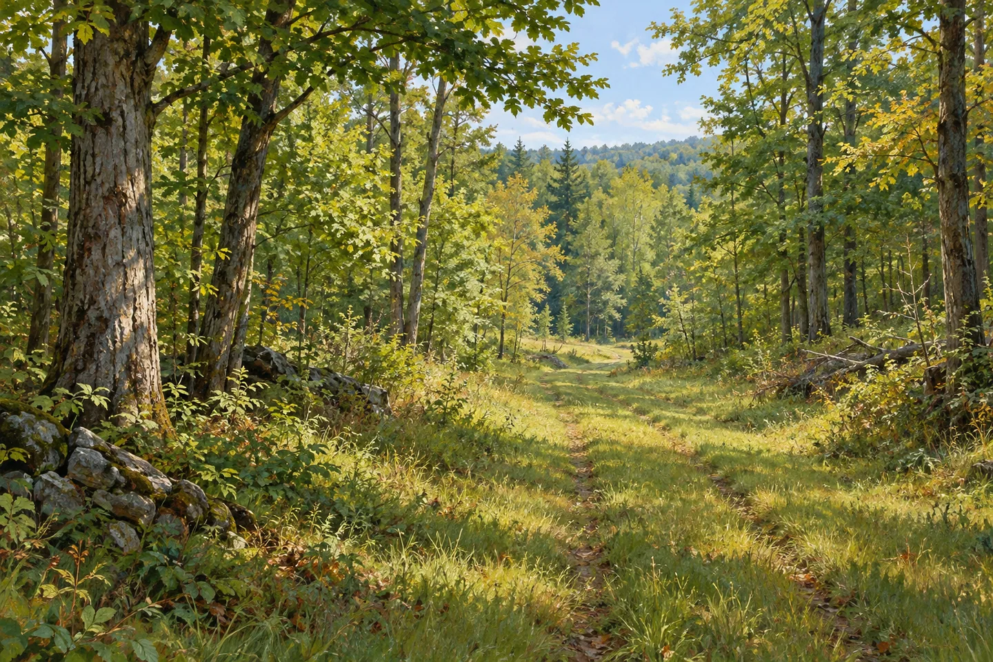
Old farm lanes and timber routes help tell the story at Albert J. Woodford Memorial State Forest. Much of this 2,664-acre property was once pasture and cropland. Today, walking routes include traces of those earlier uses as well as trails intended specifically for hikers. In northern parts of the forest, Tassel Hill provides another point of identity: it is the highest elevation in Oneida County, though that fact does not establish a prepared summit viewpoint.
The forest lies across Bridgewater, Marshall and Sangerfield. The New York State Department of Environmental Conservation (DEC) created it for reforestation, wildlife, timber, recreation and watershed protection. Those overlapping purposes are useful context for a visit. This is a working forest with land-use history, not a landscape whose story begins and ends with a trail map. A lane or old extraction route can invite thought about what people once did on the ground beneath the trees.
Two miles of unnamed hiking-only trails run north to south, dividing the property. Another 1.75 miles of designated routes can be walked when seasonally appropriate. Keep those categories separate when choosing a visit, rather than adding them into an assumed loop. The map and current trail designations should determine which section matches the outing you intend. A stated total is a guide to available routes, not a description of one continuous walk.
Multi-use paths, old skid trails from timber operations and former farm lanes add further possibilities in DEC's description. Their names point to different origins. A farm lane served cultivated land; a skid route belongs to forestry work. Looking at a route with that distinction in mind can make the woodland more specific, without claiming that a particular path still has visible farm structures or identifiable machinery beside it.
Several parking references help organize an approach: White Street Pond, Tassell Hill, Upper White Street and Truck Trail. Chittning Pond has a separate fishing-access parking area, pier and launch. Match the chosen point to the route on the property map instead of treating all the parking locations as interchangeable entrances. The pond references add orientation, but do not establish a connected waterside walk between them or a route to the county high point.
Road sections through the state forest are not plowed in winter. That constraint belongs at the start of planning, before selecting a route on the basis of distance alone. DEC's approach from Waterville uses White Street, with the beginning of state land farther east. Check the current condition of the specific access road and the seasonal designation of your chosen route, rather than relying on a general expectation of year-round vehicle entry.
The Mohawk Vista Unit Management Plan provides the wider framework for these lands. Follow posted conditions and Leave No Trace guidance, leaving historic traces undisturbed. For photographs, consider the line of an old lane within today's woodland or the textures visible from an appropriate route. Woodford's combination of former agricultural ground, forestry routes and a county high point offers a grounded story without inventing a summit platform or a guaranteed panoramic view.
Fun facts
- Albert J. Woodford Memorial State Forest covers 2,664 acres in Oneida County.
- Much of the property was formerly pasture and cropland.
- Tassel Hill in the northern forest is the county's highest elevation.
- Two miles of unnamed hiking-only trails run north to south.
- Road sections through the forest are not plowed in winter.
Before you go
- Select a mapped route and return rather than assuming the listed mileages form a loop.
- Keep hiking-only routes distinct from routes whose walking use is season-dependent.
- Match the chosen parking location to the intended trail.
- Check the unplowed forest-road approach before a winter visit.
- Do not infer a summit platform from the county-high-point description.
Capture
- Where an old lane is visible from your route, use its line within the present woodland as a land-use composition.
- Focus on actual woodland textures rather than an assumed summit panorama.
- A pond view can be a subject only where available from appropriate public access; no linked pond circuit is implied.
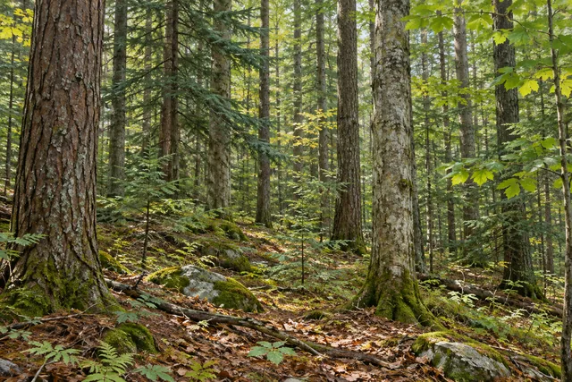 California Road State Forest
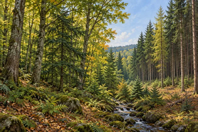 Big Brook State Forest
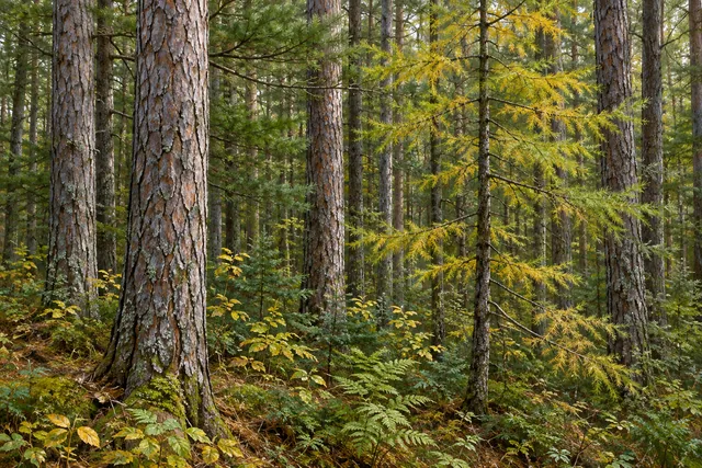 Buck Hill State Forest
Social
Woodford Memorial State Forest covers 2,664 acres across three Oneida County towns. #Cre8Travel
Much of Woodford's present forest was once pasture and cropland. #Cre8Travel
Tassel Hill in northern Woodford is Oneida County's highest elevation, without a promised summit viewpoint. #Cre8Travel
Two miles of unnamed hiking-only trails run north to south through Woodford Memorial State Forest. #Cre8Travel
Old skid trails and farm lanes add different land-use histories to Woodford's walking routes. #Cre8Travel
White Street Pond, Tassell Hill, Upper White Street and Truck Trail are separate parking references. #Cre8Travel
Forest-road sections at Woodford are not plowed in winter. Check the approach before setting out. #Cre8Travel
At Woodford, would you begin with the old farm lanes, forestry routes or county-high-point story? #Cre8Travel
Hashtags