 Cre8Travel
CRE8TRAVEL · MAINE PLACES
Wabassus Lake
Wabassus Lake: Water Connections and a Family Memory
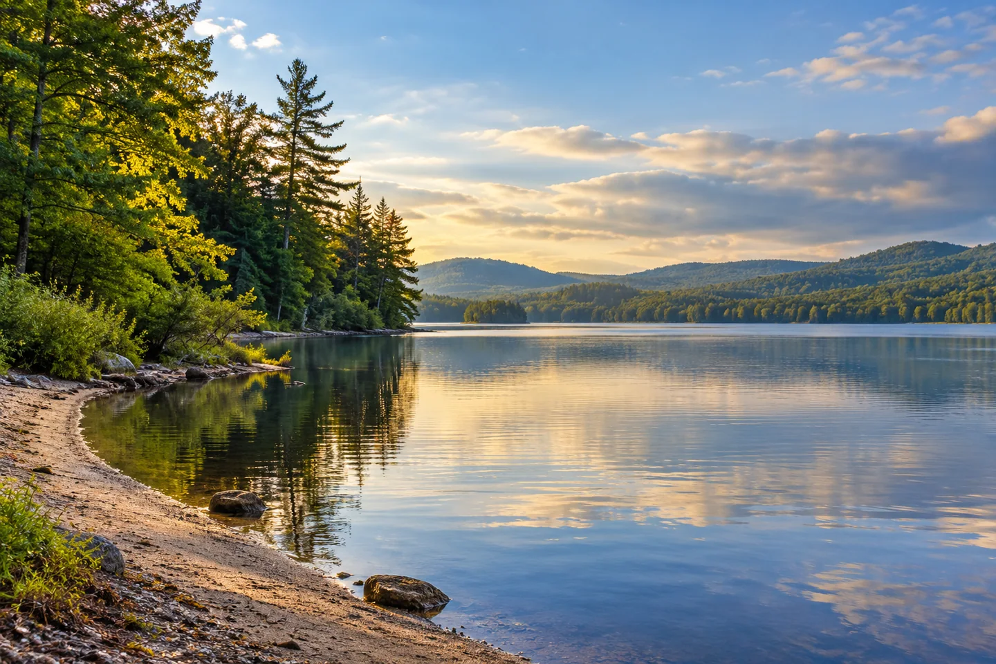
Discover
Wabassus Lake has a designated boat approach off Fourth Lake Road in the Downeast Lakes region. The land trust's Maine Trail Finder listing identifies this entry as part of its water trail. Begin with the current access map and choose a lake outing suited to the return journey.
The lake's historical fisheries report contains an unusual story about a connection between river systems. Until the mid-1970s, high water from Third Machias Lake could flow toward Wabassus because a dam raised the neighboring lake enough to send water into both the Machias and St. Croix drainages. Fish could move between the lakes. After the dam disappeared, that migration route was lost. By the mid-1980s, anglers reported fewer bass, and fisheries divers found relatively few despite suitable juvenile and adult habitat. The report considered the lost connection a possible explanation, rather than proving a single cause. It also noted the irony that Wabassus bass had originally supplied fish stocked into Third Machias in the 1950s. This is a historical ecological account, not a current fishing forecast.
Dawn Marie Beach gives the shore a more personal history. In a 2011 article, Downeast Lakes Land Trust explains receiving a poem from Virginia Graceffa that preserved the origin of the beach's name. Guy Franklin MacArthur wrote it in September 1963 after friends visited with a six-week-old baby named Dawn Marie. The poem remembers taking the infant to the shore for a cookout and imagines her returning later in life. The land trust relates that family memory to conserving public access. Its account describes the sandy beach as reachable by boat or a volunteer-built path. That is a different kind of lake history from dams and fish transfers: an ordinary shared afternoon became attached to a place name.
Conservation here has also involved making roads work better for water. The trust's September 2010 project account describes replacing an undersized culvert beneath Wabassus Mountain Road on the South Branch of Rolfe Brook. Beavers had repeatedly obstructed the older crossing, and water running over the road carried sand and gravel into the stream below. A bottomless arch was installed to improve passage and reduce the problem during higher flows. The same account credits volunteers with planning access paths and clearing the Dawn Marie route, while a Maine Conservation Corps crew constructed the mountain trail. Those are distinct contributions to a connected landscape. The water visitor benefits from shore access, while fish habitat depends on what happens at less conspicuous road crossings beyond the lake.
A useful photograph can stay close to the water's edge without making wildlife its target. From a permitted stopping place, try placing a narrow shore curve against a larger band of open water; a second frame can concentrate on the change from forest texture to reflection. Keep equipment and boat clear of the designated entry. The resulting pair of images can show both the lake's open space and the intimate scale that might explain why a family remembered a particular beach for decades. Neither image requires finding the exact spot used in the historical account.
Fun facts
- A former dam allowed fish to move between Wabassus and Third Machias lakes.
- A 1963 poem preserved the naming story of Dawn Marie Beach.
Before you go
- Use the designated Fourth Lake Road boat approach.
- Keep the entry clear for other boats.
Visitor perspectives
- MacArthur’s 1963 poem remembers a shore cookout with visiting friends and a six-week-old baby whose name became attached to the beach.
Capture
- At a permitted shore stopping place, contrast a narrow bank curve with open water and reflected forest.
 Bubble Pond
 Pocumcus Lake
 West Grand Lake
Social
Wabassus has a designated boat approach off Fourth Lake Road.
A historical dam once connected fish movements across two river drainages.
Loss of that passage was considered a possible factor in declining bass numbers.
A 1963 family poem explains Dawn Marie Beach’s name.
Volunteers helped create access to that remembered shore.
A bottomless culvert improved a nearby brook crossing in 2010.
Road design and fish habitat meet beyond the visible lake edge.
A shore curve and reflected forest can make a small-scale lake composition. #Cre8Travel
Hashtags