 Cre8Travel
CRE8TRAVEL · MAINE PLACES
Pocumcus Lake
Pocumcus Lake: Connected Water, Changing Plans
Discover
Pocumcus Lake offers a designated water-trail entry at Elsemore's Landing, reached from Fourth Lake Road west of Grand Lake Stream. The land trust's Maine Trail Finder listing identifies the approach. Treat that verified launch as the starting point for a planned lake outing, while checking present site conditions and the return route.
The state fisheries survey, revised in 1999, places Pocumcus between Lower Sysladobsis and West Grand lakes. Its fish community illustrates why those connections matter. Salmon came largely from the neighboring waters, supplemented by occasional stocking under the management system described then. Lake trout also moved through the thoroughfare from West Grand, using Pocumcus seasonally even though its summer conditions did not offer suitable trout habitat. White perch, bass and whitefish added other elements to the recorded fishery. The report also records warmer summer water extending well below the surface in its historical temperature profile. This history makes the lake more than a separate shape on a map: migration linked its underwater life to adjacent basins. The report's historical stocking intervals, catch sizes and legal limits should not be treated as present instructions or predictions.
The Indian Township Tribal Government's 2021 water assessment adds a different perspective. Its environmental program had sampled Pocumcus since 2002 and described a lake roughly two thousand two hundred acres in area, with a forty-four-foot maximum depth. The report notes that strong temperature layering does not develop every year. Its May-to-September table includes repeated measurements of transparency, nutrients and other characteristics, rather than relying on the impression of a single bright day. Those observations help explain how a lake can be studied as a changing system. They are dated monitoring evidence, not a current swimming clearance or an assurance about conditions in every cove. Looking clear and having a measured ecological history are related but different kinds of knowledge.
A canoeist posting as yellowcanoe described an October 2012 solo trip that began at Elsmore Landing and explored the connected region. On the return toward Pocumcus, wind disrupted the expected journey back to the vehicle, and the paddler stopped at Flood Cove instead. The initially peaceful-looking stop was followed by a brief, forceful change in weather with rain and snow. The account is memorable because it shows a plan changing on the water. Its author also enjoyed examining old equipment near Dobsis Dam, but the visitor's speculation about an earlier logging operation is not an established historical explanation. Nor do the account's old campground arrangements provide current permission to camp. The useful lesson is the writer's actual decision to stop rather than persist with a planned return.
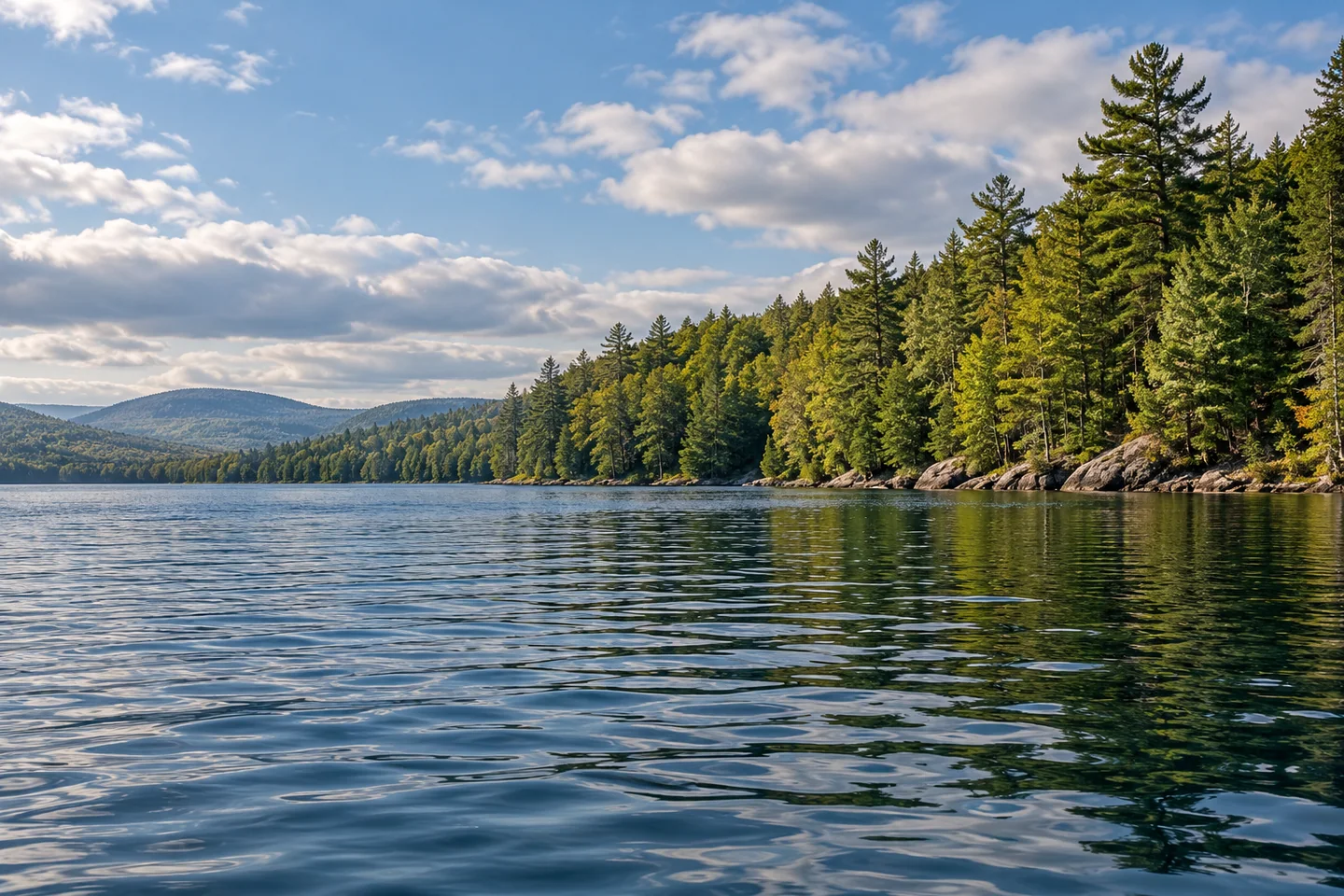
For a first visit, choose a modest objective that leaves room for an earlier turn. From a stable boat position or permitted shore stop, try a low strip of near water beneath a longer wooded bank. That composition can express the scale of the basin without requiring an open-water crossing simply to obtain a wider view. Put the camera away before maneuvering, and keep a chosen photograph secondary to the return journey.
Fun facts
- Historical fisheries work describes fish moving from adjacent lakes.
- A tribal environmental program has sampled Pocumcus since 2002.
Before you go
- Use the identified Elsemore’s Landing approach and confirm present site conditions.
- Leave room to shorten the outing before the return becomes difficult.
Visitor perspectives
- The solo canoeist stopped at Flood Cove after wind altered the intended return, then experienced a brief sharp weather change at camp.
Capture
- From a stable position, place a low band of near water beneath a longer wooded shoreline to express scale.
 Wabassus Lake
 West Grand Lake
 Lower Sysladobsis Lake
Social
Elsemore’s Landing is a designated water-trail entry.
Pocumcus lies between Lower Sysladobsis and West Grand.
Historical fish movements linked these adjoining waters.
Dated monitoring gives more information than surface appearance alone.
The tribal environmental program’s record extends back to 2002.
A 2012 solo account changed its return plan because of wind.
A shorter objective can leave more options for the journey back.
A long wooded bank can convey a lake’s scale without a crossing. #Cre8Travel
Hashtags