 Cre8Travel
CRE8TRAVEL · MAINE PLACES
Umbazooksus Lake
Umbazooksus Lake: A Shallow Basin Between Canoe Worlds
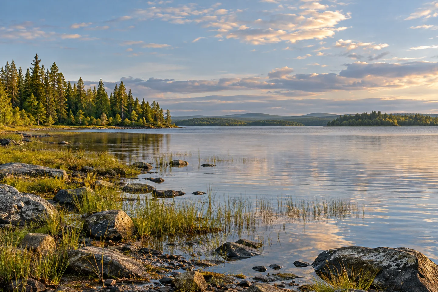
Discover
Umbazooksus Lake is a meeting place between two ways of traveling through northern Maine: the Penobscot waters to the south and the carries leading toward the Allagash lake country. The name appears in long-distance canoe stories, but a visitor can also be interested in the lake's own shallow basin and working history. Approach it with a researched route and enough flexibility to let the water, rather than an ambitious line on a map, set the day's reach.
Maine's regional fishing guide identifies an improved access on Guy Allen Road at Umbazooksus Stream. The Penobscot River Corridor guide recognizes the route from that stream toward the Allagash through the Mud Pond carry. Reaching the lake requires evaluating the intervening water, outlet and any necessary carries with current local information. Arrange the actual lake approach and return with the responsible manager or outfitter. The stream landing is a starting point for research, rather than a promise that every boat can proceed directly onto the lake.
A 1969 state survey describes a notably shallow waterbody, with a maximum sounding of fifteen feet. At that survey, the outlet gate was open and wide margins of rock, gravel and grass were exposed. Those observations explain why a seemingly simple shoreline can change substantially with water management. They belong to a particular historical inspection; they do not supply a present water level or an obstacle chart. Use the account to understand the basin, then obtain current conditions for the chosen visit.
The same survey's fish story differs from that of a deep trout lake. Perch, whitefish and suckers were prominent in the sampling, while the biologists discussed the lake's connection with Chesuncook and the possibility of fish movement through the stream. This is useful ecological context rather than an argument for expecting a particular catch. A connected, shallow lake can have a distinctive community even among nearby northern waters. Check contemporary rules before planning any fishing.
Timber once arrived here by railway from Eagle Lake before continuing by water toward the Penobscot mills. That historical connection makes Umbazooksus more than a name between portages. Imagine the logistics behind moving a bulky material across a landscape divided among lakes and watersheds. The shore can be appreciated with this knowledge without seeking out unverified remains or treating old railway geography as a current walking route.
Two personal narratives give the water a human scale. Henry L. Withee's account of a 1911 journey recalls crossing Umbazooksus before shouldering the canoe toward Mud Pond. More than a century later, Peter Macfarlane's 2018 journal describes reaching the lake after a difficult, mistaken approach to the carry. His later correction explains that he had followed the wrong route. The accounts share a concern with effort and orientation, while their practices and conditions belong to different times. Neither should replace current maps and route advice.
For a visit centered on the lake, choose a modest purpose: an appropriate paddle, an authorized shore pause or time to understand its place in the watershed. Keep a notebook with the map and record how the actual scene changes the imagined one. Photographs can emphasize the meeting of low shoreline and open water from a stable, permitted position. Umbazooksus rewards this informed attention, bringing shallow-water ecology, industrial transport and the lived experience of canoe travel into one distinct landscape.
Fun facts
- The 1969 state survey recorded a maximum depth of fifteen feet.
- The lake formed part of a historic rail-and-water timber transport system.
- Canoe accounts connect the lake with the Mud Pond carry.
Before you go
- Confirm the full lake approach beyond the Guy Allen Road stream access.
- Use current maps and local advice for any carry.
- Match the route to water levels and the group’s equipment.
- Leave historical remains undisturbed and use only permitted landings.
Visitor perspectives
- Henry L. Withee’s 1911 journey narrative recalls crossing Umbazooksus before carrying the canoe toward Mud Pond.
- Peter Macfarlane’s 2018 journal recalls reaching Umbazooksus after a difficult navigation error; his later note corrects the mistaken carry approach.
Capture
- Use a stable permitted position to frame low shoreline against open water.
- A notebook record of map and landscape can complement the photographs.
 Webster Lake
 Harrington Lake
 Rainbow Lake
Social
Umbazooksus Lake has its own story between northern canoe routes.
Shallow-water ecology can differ sharply from that of a nearby deep lake.
A historic survey gives context rather than a present water-level report.
Timber transport once joined railway and lake travel here.
Current maps matter even when an old journey narrative is inspiring.
Choose an achievable purpose for the actual water visit.
Compare the landscape on the map with the one in front of you.
Would you begin with ecology, transport history or canoe travel literature?
Hashtags