 Cre8Travel
CRE8TRAVEL · MAINE PLACES
Telos Lake and Round Pond
Telos Lake: Where the Water Changed Direction
Discover
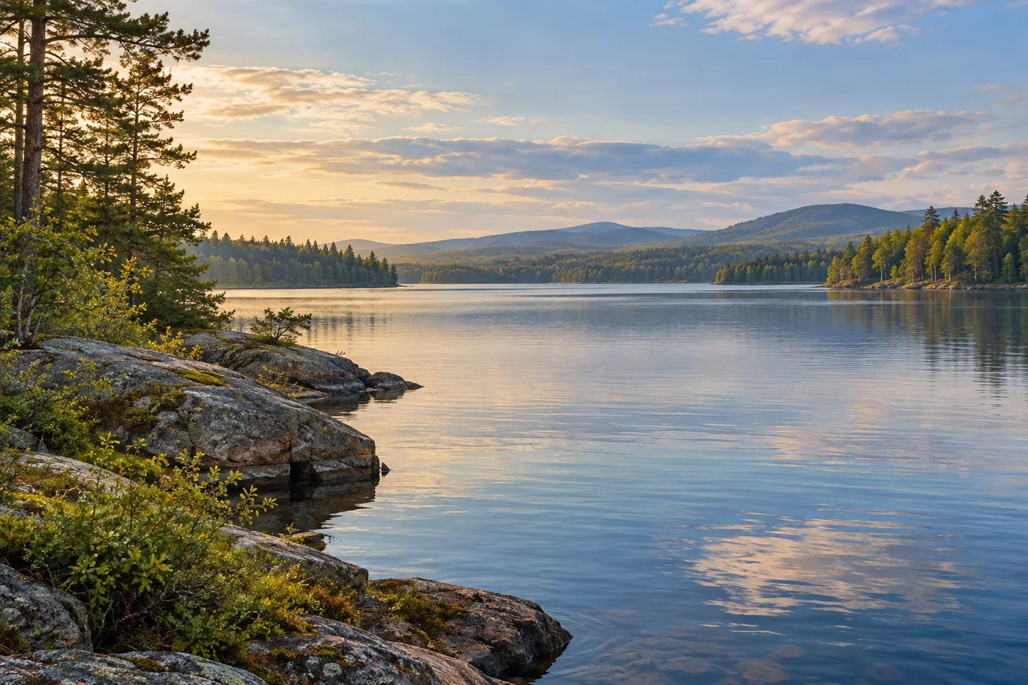
Telos Lake sits at a remarkable threshold in Maine's canoe country: water that once belonged to a northward drainage was redirected for the timber trade. That history gives a wooded lake view an unusual geographical question. Follow the water on a map and a quiet stretch of shore becomes part of a deliberate effort to connect forests, rivers and distant markets. A visit can stay with the lake while still taking that much wider story into account.
Choose the approach through the established Waterway access system. The land manager's guide marks the southern lake country and its designated arrival points, while current guide Tim Smith describes beginning at Chamberlain Bridge and paddling south into Telos. Confirm the chosen launch, registration and present route conditions before setting out. A lake outing needs its own return plan; the existence of a downstream canal does not make an improvised passage through it an appropriate extension for the group.
The state's Telos Dam history traces the diversion scheme to dams and a cut completed in 1841. Controlling water made it possible to move timber toward the Penobscot markets instead of the St. John route. Charges for passage and dependence on water retained elsewhere produced disputes among owners. The landscape's engineering was therefore also a story about cooperation, bargaining and competing interests. Read those relationships into the scene without treating an operating dam or canal as a place for unrestricted exploration.
The lake also contains more than one ecological setting. Maine's 1958 survey treated connected Round Pond with Telos while distinguishing its separate basin. The old study describes differences in late-summer oxygen conditions and substantial coldwater habitat in Telos. Such findings give depth to the view: connected surfaces can cover different underwater environments. They are historical observations, rather than a contemporary assessment or a reason to choose an angling location without current information.
A later fisheries report studied the connected lake system using tagged trout and repeated angler surveys. Fish movements across this network make a useful counterpoint to the nineteenth-century movement of logs. Both stories depend on the arrangement of lakes and channels, though they concern very different needs. Think about the connections while giving shore and tributary habitat room. Anyone bringing a rod should check the present rules for the exact waters they intend to use.
Smith's original July 2025 account offers a recent personal perspective. Returning from an Allagash teaching expedition, he recalled choosing Telos for the first night's camp before turning north on the larger journey. He valued seeing the whole Waterway as a way to understand its scale. Another visitor need not copy that expedition to appreciate the point: pausing at a southern lake can change the meaning of the map. His account describes one outing and does not settle conditions for a later visit.
For photographs, try making the relationship between shore and open water the subject, with a simple frame that does not need a particular sky or wildlife encounter. Consider carrying a notebook as well as a camera: tracing the old and altered drainage routes can be as revealing as another image. Keep navigation and permitted landings central to the plan. Telos rewards this combination of observation and geographical curiosity, allowing one lake outing to open a larger story about how people changed the direction of a northern landscape.
Fun facts
- Telos and connected Round Pond were studied as distinct basins in a 1958 survey.
- The Telos diversion works date to 1841.
- Water connections shaped both the timber trade and later fisheries research.
Before you go
- Use established Waterway access and confirm the intended launch.
- Plan a lake outing’s return separately from any canal or river expedition.
- Read present rules for the exact connected waters being visited.
- Respect operating-dam boundaries and permitted landing places.
Visitor perspectives
- Tim Smith’s July 2025 account recalls beginning an Allagash expedition with a night on Telos, then turning north, valuing the fuller sense of the Waterway’s scale.
Capture
- From a stable permitted position, give the meeting of shore and open water a simple frame.
- A notebook sketch of the drainage connections can complement the photographs.
 Churchill Lake
 Webster Lake
 Umbazooksus Lake
Social
Telos Lake holds a story about deliberately altered drainage.
A map can reveal a relationship that the water’s surface leaves hidden.
Connected basins can have different underwater environments.
A lake outing deserves a clear return plan of its own.
Timber transport depended on water management and agreements between people.
A pause at the beginning of a larger route can change its meaning.
Bring curiosity about geography as well as a camera.
Would you begin with the changed drainage or the lake’s ecological connections?
Hashtags