 Cre8Travel
CRE8TRAVEL · MAINE PLACES
Seboomook Lake
Seboomook Lake: Waterways and a Working-Forest Past
Discover
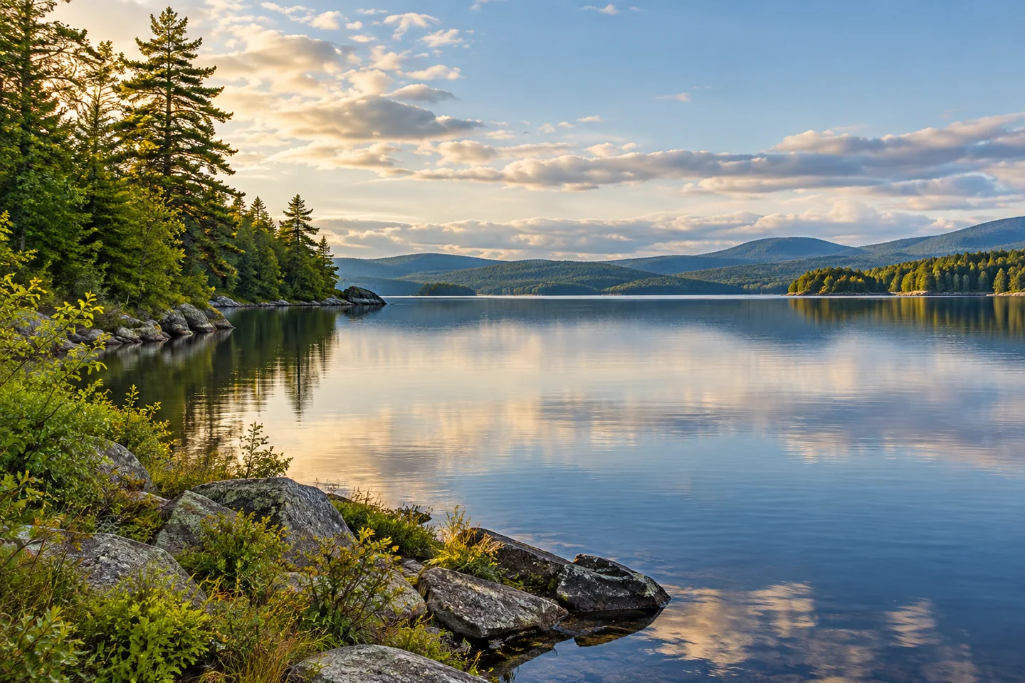
Seboomook Lake stretches through a working-forest landscape where the North and South branches of the Penobscot meet. Its western end carries the history of Pittston Farm, while the broader reservoir points toward the river journey continuing beyond Seboomook Dam. This is a substantial waterbody with a shoreline story of its own. Give the lake a place in the plan rather than treating it only as a name passed on the way to another canoe destination.
Choose a real lake entry and resolve the approach before traveling. The state's recreation documents identify lake access at Pittston Farm and at the Seboomook dam end. Current regional public-land guidance provides the road approach, while present conditions and the intended craft should be checked with the responsible operator. Neither an old facility description nor an attractive map establishes that every launch is usable on a chosen day. Keep the lake outing separate from the more demanding moving water below the dam.
Pittston Farm helps explain how this landscape supported the timber industry. The Millinocket Historical Society's curator traces Great Northern Paper's purchase to 1906 and describes its rapid expansion into a supply center for the North and South Branch operations. Stables, storage buildings, water works and accommodation supported work far from ordinary roads. The history adds substance to a view of the western lake: the rivers carried timber, while the shore supported the people and animals making that system function.
Another historical-society account describes plans for a railroad running north from Seboomook toward the St. John drainage. Its archival narrative includes a scow built below Pittston Farm to transport railway equipment and a pier designed to handle lake traffic. That connects the water with an ambitious effort to move material between drainage systems. It is historical context, not a claim that a public railway exhibit or accessible remains can be visited from a casual lake landing.
The reservoir's physical character matters as much as that history. Maine's 1959 fisheries survey describes a long, shallow impoundment whose water levels and wind exposure affected habitat. Cooler tributary mouths and the river channel figured in its discussion of trout. Those observations explain why the lake cannot be understood as a uniform basin. They are not a present water-level forecast, and a historical survey's proposed management changes should not be read as current fishing rules.
The meeting of habitat types also interests birders. Bob Duchesne's original June 2013 account describes leading a tour in the Seboomook Lake area, with marshy lake edge, fields, wet meadows and surrounding woods at Pittston Farm contributing different birds. His account is an individual guide's experience, rather than a species checklist promised to every visitor. The productive idea is to look at transitions between habitats and give them time, using only shore positions where access has been arranged.
Pittston Farm's current operator offers camping and guided activities, providing one way to organize time near the western water. Confirm the actual activity and access arrangement directly. For photographs, compare the wooded reservoir with the quieter details at its edge, letting the weather determine reflections and distant views. Seboomook Lake rewards this combination of careful planning and historical curiosity: a water landscape whose rivers, shore and working past remain closely connected.
Fun facts
- Pittston Farm became a Great Northern supply center after purchase in 1906.
- Historical rail plans linked Seboomook with the St. John drainage.
- The 1959 lake survey describes a long, shallow impoundment.
Before you go
- Confirm the intended lake entry and present conditions with the responsible operator.
- Keep reservoir plans separate from the moving water below the dam.
- Arrange access before exploring privately operated shore areas.
- Use current fishing rules rather than historical management recommendations.
Visitor perspectives
- Bob Duchesne’s June 2013 birding account valued the varied habitats around Seboomook Lake’s marshy Pittston Farm edge during a guided tour.
Capture
- Look for changes between wooded water edge and more open shore from permitted positions.
- Let actual weather determine reflection and distant-view possibilities.
 Canada Falls Lake
 Dolby Pond
 Shad Pond
Social
Seboomook Lake links a broad reservoir with a working-forest shore history.
Pittston Farm’s former supply role adds another layer to the western lake view.
Archive accounts connect lake transport with a planned railway toward the St. John drainage.
Shallow water, wind and changing levels feature in the lake’s historical survey.
A marshy edge and nearby woods can offer different subjects for careful observation.
Arrange the actual shore or guided activity before setting out.
The lake can be a destination in its own right rather than only a through-route.
Would you begin with the reservoir or the shore’s industrial history?
Hashtags