 Cre8Travel
CRE8TRAVEL · MAINE PLACES
Canada Falls Lake
Canada Falls Lake: The Reservoir Above the Rapids
Discover
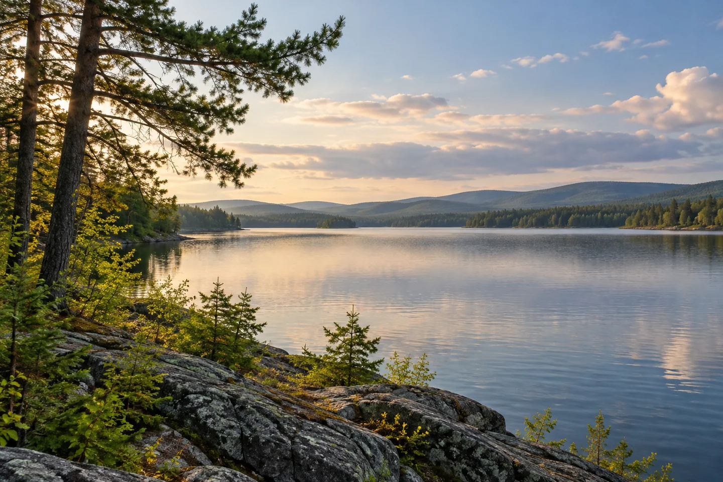
Canada Falls Lake belongs to the South Branch of the Penobscot, in the forest country north of Rockwood and northeast of Jackman. Its name is often encountered in descriptions of demanding whitewater below the dam. The reservoir itself deserves a separate look: a shallow storage lake with a history of changing water levels, a trout-habitat story and a public-land setting. Decide which experience is actually intended before planning the approach. A shore visit and a technical river descent are different undertakings.
The state's Penobscot River Corridor guide places Canada Falls Lake on the South Branch approach from the Rockwood area. An earlier state water-quality certification identifies an established gravel lake launch at the dam. Use that published access history to begin planning, then confirm the present road and landing conditions with the responsible manager. A dam-side recreation point is an authorized starting place subject to actual conditions, rather than permission to enter operating structures or explore past barriers.
Maine's 1959 fisheries survey describes a water-storage impoundment with a river channel deeper than the surrounding basin. Standing and fallen timber remained after inundation. These historical observations explain the reservoir's formation rather than today's navigation conditions. Compare the channel's course with the broader flooded area on an appropriate map. The outline becomes more interesting when read as a river landscape that was deliberately changed.
The same survey describes brook trout using cooler inlets, spring seepage and the channel during warm periods. Small differences in habitat could matter within a shallow reservoir. Let that idea sharpen observation while giving inlet margins space. The dated findings provide ecological background; present conditions and fishing rules require separate checks. An angling plan should begin with contemporary information, even when historical research first creates the interest.
The outlet's operating role continues. Brookfield's current Safe Waters information explains that release schedules can change with weather and power requirements, and that visitors must follow posted warnings around dams. That is the appropriate source to consult when the day's water conditions matter. A historical trip report or a recurring release pattern cannot guarantee what will happen on a future outing. Stay within the confirmed recreation area and choose an activity that suits the actual circumstances.
A personal account by Tom Jamrog recalls a very different season. His March 2008 blog introduces a multi-day snowshoe journey that included crossing Canada Falls Lake with companions and hauling winter-camping equipment. It is a record of a particular experienced group's trip, not evidence that winter lake travel is routinely available or suitable. The comparison is interesting because the same reservoir entered the travelers' experience as an extensive snow-covered landscape rather than open paddling water.
For an introductory visit, let a verified shore position and a manageable plan be enough. Look for the relationship between the wooded edge, the reservoir's open space and the line of the river on a reliable map. Photograph from permitted ground and leave operating areas outside the composition's pursuit. Canada Falls Lake becomes a more distinctive place when the reservoir is understood on its own terms: managed water, historical habitat and changing conditions, separate from the dramatic river run that often dominates its name.
Fun facts
- Canada Falls Lake is a storage impoundment on the South Branch of the Penobscot.
- The 1959 survey describes a river channel within the broader shallow basin.
- Historical fisheries work identifies cooler inlet and spring-seepage refuges.
Before you go
- Distinguish a reservoir visit from the technical whitewater below the dam.
- Confirm present road and landing conditions with the responsible manager.
- Follow posted dam warnings and stay outside operating areas.
- Check present water information and angling rules separately.
Visitor perspectives
- Tom Jamrog’s March 2008 account recalls an experienced group’s winter snowshoe journey that included Canada Falls Lake and hauling camping equipment.
Capture
- Photograph the reservoir from an authorized shore position.
- Use a wooded margin to show scale without entering dam-operating areas.
 Nesowadnehunk Lake
 Seboomook Lake
 Dolby Pond
Social
Canada Falls Lake has a story of its own above the technical river run.
A map can help explain a reservoir’s distinctive outline.
Historical ecology offers questions for an observant visit.
Confirm the actual visit conditions instead of relying on an old trip account.
A dam-side access description does not open operating areas to exploration.
One historical journey crossed the lake as winter landscape, with an experienced group.
A managed lake can reward attention without an ambitious itinerary.
Would you begin with reservoir history or a view from the verified shore?
Hashtags