 Cre8Travel
CRE8TRAVEL · MAINE PLACES
Dolby Pond
Dolby Pond: A River Landscape with Layers of History
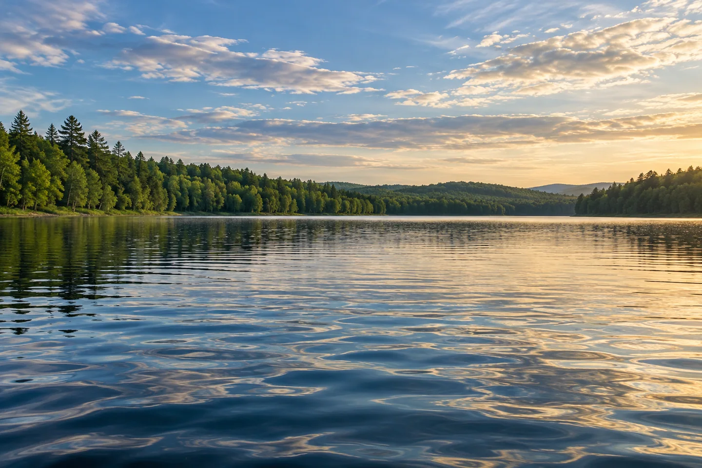
Discover
Dolby Pond belongs to the working landscape of the West Branch Penobscot, where a lake view can carry several histories at once. Water, timber, farming and power generation all have a place in its story. An outing here becomes more interesting when the smooth surface is read as a changing landscape: a place people have lived beside, altered, studied and explored in small boats.
Choose the authorized launch carefully. The region's municipal comprehensive plan identifies Dolby Pond access from Rice Farm Road. A more recent recreation-management filing describes the existing launch on the western side, reached through the Old Huber Road approach from Route 11. Compare the approaches with a current local map before setting out, and confirm the applicable entrance and conditions. Plan a return to the same established access unless a separate journey has been properly researched. Put gear together before occupying the launching space.
A historical photograph preserved by Norcross Heritage Trust gives the water an unexpectedly domestic past. Its caption describes Schoodic Farm near the meeting of Schoodic Stream and the West Branch, later owned by Charles and Eugenia Powers. The farm was flooded when Dolby Dam was built in 1906. Looking across the pond with that history in mind changes the scene: the surface covers land once associated with a home and agricultural work. The archival account does not identify a place visitors can enter or remains they can expect to see.
Federal hydropower documentation explains another part of the transformation. The Dolby development dates to 1906, combining pulp production and power infrastructure; conversion from hydromechanical to hydroelectric operation followed in 1925. Those dates describe an evolving industrial system rather than a single timeless mill landscape. For the visitor, the useful question is how the river's energy shaped the surrounding community. Keep any viewing or photography within permitted places and away from operating facilities.
The pond has also been a setting for water research. A 2012 instrument-supplier account describes a floating monitoring platform used by the Penobscot Nation's water-resources program after an earlier algal bloom. Its measurements went beyond how water looked from shore, examining characteristics such as oxygen and algal indicators. This is a documented historical project, rather than a statement that the same equipment remains in place today. It offers a reason to treat an attractive reflection and a scientific assessment as different kinds of observation.
The Nation's present water-resources program describes continuing work to protect water and the uses important to its citizens. That broader stewardship gives the pond a human context beyond recreation. Visitors can bring a similar habit of attention to a modest outing: notice changes in texture and shoreline, keep equipment clean between waterbodies, and leave the launch ready for the next person. Curiosity works best when it includes respect for people whose relationship with a river extends well beyond a holiday.
An original July 2012 post by blogger asjthe1st recalls paddling Dolby with a friend, trading a homemade board and a kayak, and negotiating wind and stumps. The companionship mattered as much as the setting. Conditions from that trip are historical, but its lesson travels well: choose an outing that suits the company and the day. For photographs, compare a close water pattern with the broader wooded horizon. Dolby Pond rewards that mix of personal observation and an informed sense of what lies behind the view.
Fun facts
- Dolby Dam was built in 1906.
- An archival account places the former Schoodic Farm beneath the impoundment.
- Dolby’s industrial development changed to hydroelectric operation in 1925.
Before you go
- Check the applicable Dolby launch approach on a current local map.
- Use established public access and respect operating-facility boundaries.
- Keep historical monitoring projects separate from current water conditions.
- Choose a return route suited to wind and the people in the group.
Visitor perspectives
- Blogger asjthe1st’s July 2012 Dolby Pond account recalls a shared paddle with a friend, exchanging board and kayak while wind and stumps influenced the outing.
Capture
- From a permitted position, contrast a close water texture with the wooded horizon.
- Keep historic photographs as research references rather than assuming their former viewpoint is accessible.
 Seboomook Lake
 Shad Pond
 Vanceboro Historical Society
Social
Dolby Pond offers a water outing with farming and industrial history behind the surface.
A former farm is part of the story of the 1906 impoundment.
The river’s energy helped shape the surrounding community.
A historical monitoring project shows why water science goes beyond appearances.
Treat an old paddling account as one person’s experience, with conditions belonging to that day.
A shared outing can be memorable for the company as much as the landscape.
Leave an established launch ready for the next visitor.
What would you photograph first: a close water pattern or the broader river landscape?
Hashtags