 Cre8Travel
CRE8TRAVEL · MAINE PLACES
Huckins Beach and Morrison Cove
Huckins Beach and Morrison Cove: A Walk Between Two Bays
Discover
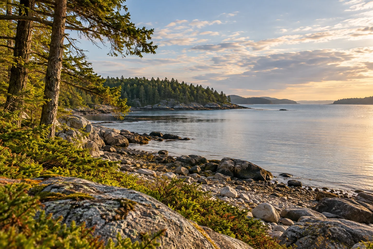
Huckins Beach and Morrison Cove offer a walk between two sides of Denbow Neck in the Cobscook Shores parklands. On the South Bay side, Huckins combines gravel shore, woodland and a meadow, with the Young's Point route leading north toward another beach. The operator describes a screened picnic pavilion, hand-carry boat access and walking routes that let you build the day around either a shoreline stop or a longer exploration. Bring drinking water: the park's guidance says there is no potable supply here. Campfires are prohibited. The Bay to Bay route passes an old cellar surrounded by mature cedars, a small reminder of earlier use within the wooded landscape. The beach also serves working clammers, so a recreational visit shares space with a continuing coastal livelihood.
Across the neck, Morrison Cove faces Straight Bay. Its half-mile Straight Bay Loop descends to the shore, passes overlooks and a picnic pavilion, then returns to the trailhead. The Bay to Bay connection branches from that loop, crosses Straight Bay Road and continues into Huckins Beach park. The operator's route description moves from tall maples toward low-growing juniper and blueberry before reaching South Bay. That progression gives the outing a distinct shape: one shore, an inland crossing, then another body of water. Choose a single loop if that fits your time, or plan the connecting walk with a clear return route.
The interpretive marker at Huckins adds a human and ecological history to the scenery. Its text explains that the gently sloping, sandy bottom offers clam habitat and that harvesting has sustained people here for generations. It also describes a small family cemetery in the woods, associated with the Leighton and Huckins families. Names on the stones record long family continuity alongside the loss of young children. These details change the meaning of a pleasant coastal stop. The shore is habitat and workplace; the wooded land preserves family memory. Read the interpretation before moving on, and give both the harvesters and the cemetery the respect you would expect at an active workplace or a family resting place.
Rebecca Goldfine's Maine by Foot account connects the two properties on one outing. She especially liked the Huckins side of the Bay to Bay Trail, where a small field led into cedar woods and a shoreline stretch. Her description then moves through an airy forest around a screened pavilion. She found the path beyond the pavilion more rugged and the descent at Young's Point rough and eroded during her visit. That observation is useful context for choosing how far to continue, without treating an older surface condition as a current closure. Her account celebrates the variety of scenery while leaving room for a shorter turnaround. The linked preserves need not become an obligation to follow every branch.
Try making a small visual sequence rather than one all-purpose landscape photograph. Start with an open view, follow with a closer study of texture, and finish with a detail that changes your understanding of the place. Keep the sequence simple enough that each image has something different to say.
Fun facts
- The Straight Bay Loop at Morrison Cove is a half-mile route.
- Huckins’ interpretive marker connects clam habitat with generations of local harvesting.
Before you go
- Carry your own drinking water at Huckins Beach.
- Choose the connecting walk only after planning how to return across the neck.
Visitor perspectives
- Rebecca Goldfine especially enjoyed the Huckins side of the connecting trail, with field, cedar woods and shore. She found the farther Young’s Point section rougher, including an eroded beach approach during her visit.
Capture
- Build a short photo sequence around changing textures as your walk moves between water and woods.
 Todd Wildlife Sanctuary
 Beauchamp Point and Rockport Shore Preserves
 Alamoosook Lake
Social
Huckins Beach faces South Bay; Morrison Cove offers a Straight Bay shoreline walk.
A connecting route crosses Denbow Neck and Straight Bay Road.
Morrison’s half-mile loop passes shore overlooks and a picnic pavilion.
Huckins’ interpretive marker gives clam habitat a human history.
A small family cemetery links the woodland with generations of Leighton and Huckins families.
Goldfine’s walk moved from a small field into cedar forest and along the shore.
Bring drinking water to Huckins and observe the prohibition on campfires.
Would you choose one bay for a slow walk, or link the two? #Cre8Travel
Hashtags