 Cre8Travel
CRE8TRAVEL · MAINE PLACES
Beauchamp Point and Rockport Shore Preserves
Beauchamp Point Preserves: Two Ways to Meet Rockport Harbor
Discover
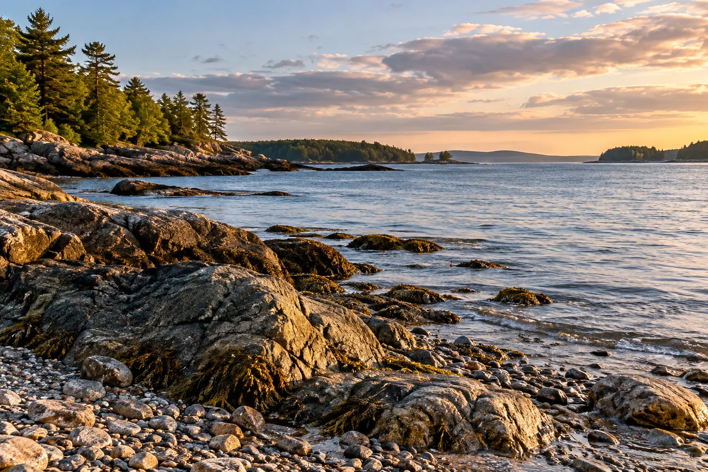
Two Coastal Mountains Land Trust preserves on Beauchamp Point offer different relationships with Rockport Harbor. Beauchamp Point Preserve is the two-acre, boat-accessed beach at the headland's tip. Rockport Shore Preserve protects a wooded stretch farther along the peninsula. For the beach, the trust identifies a roughly 1.4-mile paddle from the public launch at Rockport Marine Park. Stay on the beach area; camping and campfires are not permitted. The destination is a gravel-and-rock stopover, with sea lavender and seaside goldenrod among the plants the trust records nearby. It is a place to pause within a thoughtfully planned paddle rather than a trailhead reached from the road.
Rockport Shore gives the peninsula a land-based conservation story. In its announcement reproduced by PenBay Pilot, the trust described an anonymous gift protecting more than 600 feet of harbor frontage and land on both sides of Beauchamp Point Road. An earlier conservation easement donated by the Dodge family had already protected ledges in the area. The newer parcel added hardwood forest and rocky outcrops above a steep, rugged shoreline. An existing dock was removed to restore the shorefront's natural character. Read that history while enjoying the roadside landscape: public benefit can come from keeping a familiar view wooded, without installing another destination structure. The steep lower ground should not be mistaken for a developed walking route merely because it lies inside a preserve. Those contrasting slopes are part of the experience.
From the beach preserve, Indian Island Light supplies a recognizable harbor reference. The Coast Guard's historical summary traces the station to 1850 and the present tower to 1875. The square brick tower replaced an earlier arrangement in which the light sat on the keeper's dwelling; the station was later discontinued. That background gives a distant building a working purpose in the landscape. It once helped vessels find their way into the harbor. The Coast Guard also records the station’s eventual sale into private hands. Keep the lighthouse as a visual reference in this outing, rather than assuming its shore or buildings belong to the neighboring public preserve.
A first-person US Harbors paddling account puts the point within a larger coastal outing. The writer enjoyed traveling between Camden and Rockport, pausing around Indian Island and noting ledges off Beauchamp Point as a low-tide stopover. Boats and changing harbor scenery were part of the pleasure. This is one paddler's enthusiasm, not a description of a guided route or a promise that the same landing will suit another day. The account itself recognizes the influence of wind, tide and stops on the outing. Use it for a sense of what can hold your attention, while making your own marine decisions with appropriate current information.
For a visual study, compare what draws the eye from land and from water. A nearby texture can anchor a broad scene; a more distant shape can give it direction. Let a simple composition do the work instead of trying to fit every interesting feature into one frame. Keep a separate record of where each image was made, so later captions remain accurate.
Fun facts
- The beach preserve is a two-acre property reached by water.
- The present Indian Island lighthouse tower dates to 1875.
Before you go
- Plan the beach preserve as a water-access visit; do not assume road access to its tip.
- Enjoy the wooded roadside without treating the steep lower ground as a developed trail.
Visitor perspectives
- A first-person US Harbors contributor enjoyed the Camden–Rockport paddle and described Beauchamp Point’s offshore ledges as a low-tide stopover. This is an individual historical account, not a current navigation recommendation.
Capture
- Try a water-and-rock texture study where you can remain comfortably within the permitted beach area.
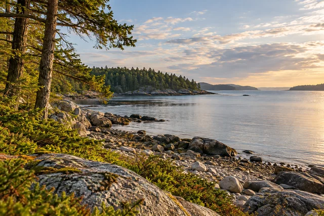 Huckins Beach and Morrison Cove
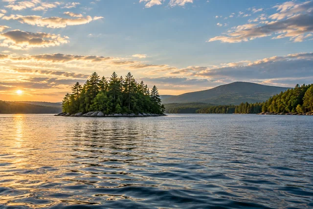 Alamoosook Lake
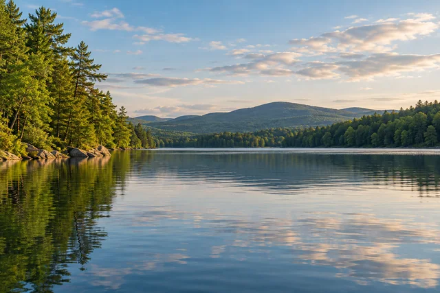 Branch Lake
Social
Beauchamp Point’s beach preserve is reached by water.
Rockport Shore Preserve protects woodland beside a familiar harbor road.
An earlier Dodge family conservation easement helped protect ledges in the area.
The shore preserve’s former dock was removed to restore natural shorefront.
Indian Island Light gives the harbor view a maritime-history reference.
One US Harbors paddler enjoyed Beauchamp Point ledges as part of a Camden–Rockport outing.
The trust records sea lavender and seaside goldenrod by the beach preserve.
Which changes a landscape more for you: seeing it from land or seeing it from water? #Cre8Travel
Hashtags