 Cre8Travel
CRE8TRAVEL · MAINE PLACES
George Bucknam Wildlife Management Area
George Bucknam: A Public Foothold beside Belgrade Stream
Discover
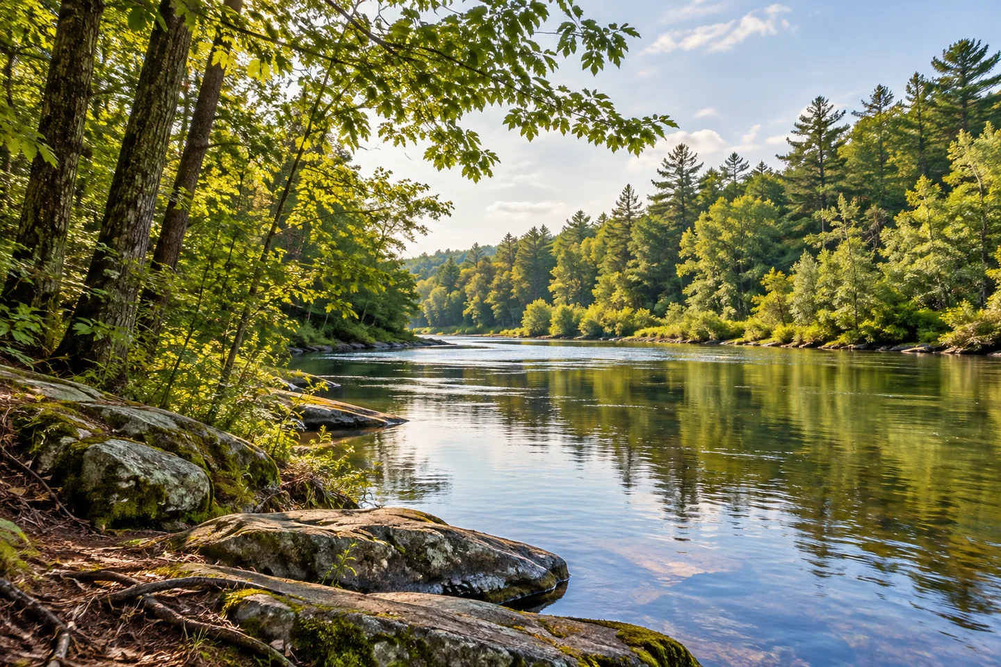
George Bucknam Wildlife Management Area offers a small public foothold beside Belgrade Stream at Wings Mills in Mount Vernon. The wildlife agency identifies canoe access and bank fishing on its land north of Wings Mills Road, between the stream and Dunn Road. Match the intended activity to that specific place. A brief shore observation or a carefully researched paddle can give the water attention without turning the outing into an improvised journey through the entire lake system.
The state describes a property assembled through donations beginning in 1986 and named for a former fisheries and wildlife commissioner. Use its current map to understand the boundaries before exploring. Public land beside a stream and public use of a road are different things, and neither supplies permission to enter a neighboring camp. Keep an approach considerate, with equipment organized before using a shared entry. A small starting place works best when every visitor leaves room for the next.
The area's name leads to an earlier landscape. Maine Historical Society preserves a manuscript plan of settlers' lots on Wing's Mill Pond, dated approximately 1795. Its catalog cautiously places the map possibly near Wings Mills and records millwright Thomas Wing moving to the Belgrade–Mount Vernon area after 1793. That uncertainty belongs with the history. The archival item opens questions about settlement and water-powered work; it does not prove that a particular ruin or property line seen during today's outing matches a feature on the old plan.
The water also has an active stewardship story. Friends of Belgrade Stream describes the spread of invasive variable-leaf milfoil through the reach below Wings Mills toward Messalonskee Lake. The organization explains how dense growth can displace native communities and hinder recreation. Its work makes an important part of the scene less abstract: an attractive green margin may also be a place where people are trying to understand and control an ecological problem. Follow current local guidance and inspect equipment carefully before moving it to another waterbody.
A separate account of an August 2026 training session shows why good intentions alone are insufficient. The stream group and its partners taught residents to distinguish invasive and native plants, avoid spreading fragments and use permitted management methods. The report emphasizes that trained participants worked under the relevant permit conditions. It is a record of that educational event, not an invitation for an ordinary visitor to pull plants, install barriers or copy a treatment. Learning what should remain undisturbed can be as valuable as recognizing what needs management.
Make the actual visit a conversation between observation and background. Look at the meeting of forest and water, then compare that immediate scene with the much longer histories of settlement and protection. Notice a change in texture without assigning an uncertain plant name. For photographs, a modest frame of bank, trunks and water can express the setting without entering private ground or approaching operating structures. There is no requirement to travel far for the visit to have substance. At Bucknam, an accessible piece of streamside land can introduce a larger story about the choices people make around shared water, and the care those choices continue to require.
Fun facts
- An approximately 1795 manuscript map survives under the name Wing’s Mill Pond.
Before you go
- Confirm the actual wildlife-area boundary and entry before arriving.
- Inspect equipment before moving it between waterbodies.
- Leave plant management to trained, authorized work.
Capture
- Frame forest and water from the authorized bank without entering private ground.
 Carleton Pond and Watershed Trail
 Hathaway Mill and Creative Center
 Olde Federal Building
Social
A small streamside visit can open a larger question about shared water.
An archival map can be interesting without supplying exact modern property lines.
Keep uncertainty visible when connecting a historic document with today’s view.
Native and invasive plants require careful identification.
A conservation training event is not permission to copy its work independently.
Leave shared access ready for the next visitor.
Observe first and keep uncertain identifications open.
Which part of a stream’s story would you research before visiting?
Hashtags