 Cre8Travel
CRE8TRAVEL · MAINE PLACES
Fort St. Georges Historic Site
Fort St. Georges: A River Walk to Surviving Earthworks
Discover
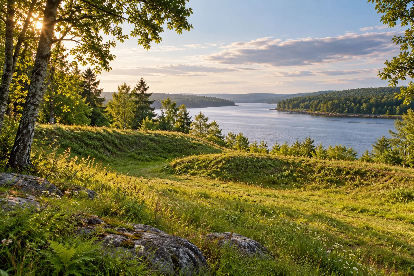
Fort St. Georges Historic Site lies beside the St. George River, reached along the Fort Point Trail in the town of St. George. Georges River Land Trust describes a route with a narrow, firm tread and passing places, developed through collaboration with the town and historical society. Picnic tables and river views give a destination to the walk. This is the St. George peninsula's historic fort site, distinct from Fort Point State Park in Stockton Springs.
The approach has its own story of public access. A 2024 state parks newsletter explains that historian Jim Skoglund sold the town a strip of land for a trail, first built in 2006. As the original path became wet and rutted, local organizations worked toward a better route. The rebuilt trail formally opened in June 2024, supported by a state recreational-trails grant and local contributions.
The project combined gravel with wooden walkways over wet ground and a bridge across a stream in a gully. Volunteers also worked on the trailhead kiosk. Ash and birch remained part of the woodland setting. The resulting walk shows how careful construction can address obstacles while keeping the experience connected with the landscape. Check present conditions if the precise surface and access arrangements are important for your group.
At the point, the surviving earthworks call for a different kind of attention from a restored building. St. George Historical Society's July 2021 newsletter explains that earthen embankments remain after the fort fell into disrepair following the War of 1812. Its account follows something smaller through the generations: the blockhouse key. Kept by members of local families and eventually loaned to the society, the key links the vanished structure with a sequence of named people. The newsletter described exhibiting it elsewhere, so treat it as background to the site rather than an object to expect at the point.
Rebecca Goldfine's original route account, updated in July 2026, appreciates the open grassy peninsula and views both up and down the river. She describes the former fort as a raised berm, with an information panel to help explain what survives. Her account also identifies the trailhead parking near the spring at Wiley's Corner. The view and the interpretation work together: one makes the setting immediately appealing, while the other gives its forms a reason to hold your attention.
Goldfine distinguishes the Fort Point approach from other nearby walks and records the closure of the old Jones Brook connection toward the town forest. Keep the outing on current mapped routes. Once at the river, allow time to compare the outline of the earthworks with the broad setting, rather than judging the visit only by the amount of masonry left standing.
The woods have also become a place for learning about their future. The town's July 2025 newsletter announced a Fort Point walk focused on identifying ash trees and understanding emerald ash borer and management options. That past event reveals another layer of the route's importance. A walk to a military remnant can also prompt questions about living trees, shared stewardship, and the work needed to keep a familiar landscape healthy.
Before you go
- Check current trail conditions and surface details when planning for particular mobility needs.
- Use the current Fort Point approach; the former Jones Brook connection is closed.
Visitor perspectives
- Goldfine appreciates the open peninsula, river views, information panel, and surviving berm.
Capture
- Include the river setting when showing the low surviving earthworks.
- Choose a position where the shape of the ground becomes legible without leaving the route.
 Thorndike Mill
 Mill Island Park
 Mill Park, Augusta
Social
Fort Point Trail leads to Fort St. Georges on the St. George River.
A 2024 reconstruction improved a community route to the point.
A blockhouse key carried local memory through generations of families.
One walker’s account values the open peninsula and river views.
A past ash-tree walk connected this route with woodland stewardship.
A low earthwork can hold a story larger than its height suggests.
Let the setting help explain the remnant in front of you.
A short approach can leave plenty of time for a closer look.
Hashtags