 Cre8Travel
CRE8TRAVEL · NEW YORK PLACES
Watson's East Triangle Wild Forest
Watson’s East Triangle: Trees, Timber History and a River Walk
Discover
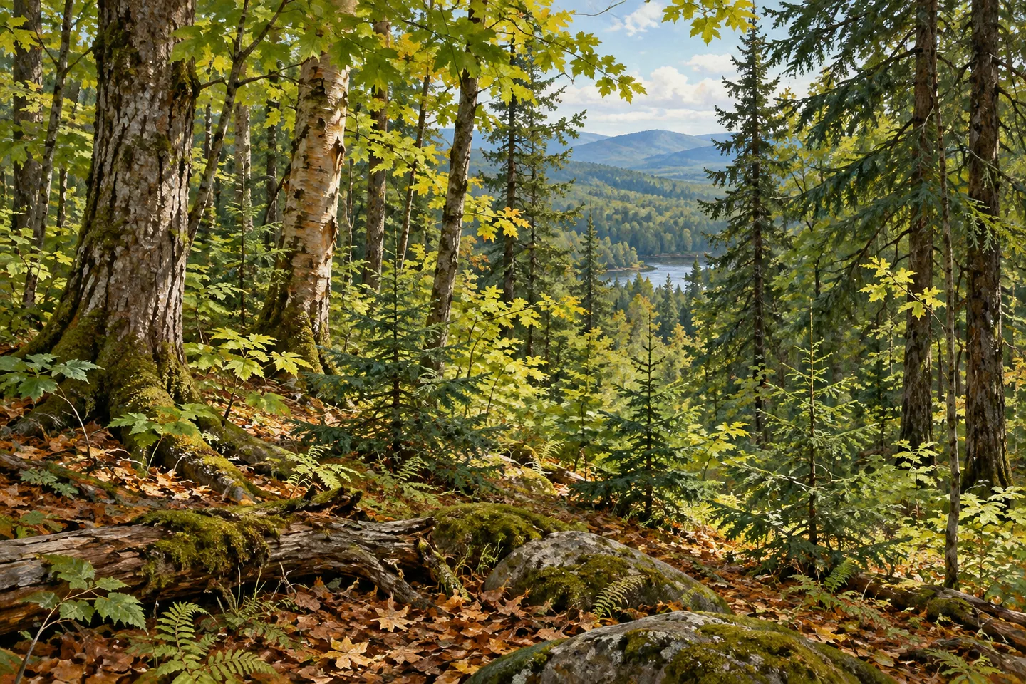
Watson's East Triangle Wild Forest occupies more than 13,000 acres on the western side of the Adirondacks. Rolling hills, wooded wetlands and branches of the Oswegatchie River give its public parcels a varied setting. The forest becomes particularly interesting through the relationship between trees and history: the species that share the canopy, the earlier timber landscape and the changes that let new growth take hold. A selected land-based walk can follow those themes while giving the river its place in the wider scene.
DEC's management plan describes a mosaic of plant communities influenced by soil, moisture, temperature and earlier events. Sugar maple, beech and yellow birch are prominent hardwoods, while red spruce, hemlock and balsam fir contribute to the conifer component. These names provide a useful starting point for observing the woodland. Compare leaf or needle forms, branching patterns and bark along the established route, letting the trees actually visible on the day determine the focus of the walk.
Wooded wetlands introduce another character. The management plan records softwood communities that include tamarack and black spruce, linking some wetter areas with forest types more common farther north. That contrast adds depth to the landscape. A change in moisture can accompany a change in vegetation, while a wetland opening creates a different view from the close canopy around it. Appreciate those transitions from suitable established access, leaving the wet ground and its plants undisturbed.
The canopy itself carries a history of change. Past timber harvesting and natural disturbances influenced the light reaching the forest floor, creating opportunities for species that need more sunlight. The management plan identifies black cherry as one example within that story. A present-day visit can look at the woodland through this idea of renewal: dense tree cover, a more open patch and younger growth each suggest different stages in a continuing forest process. Individual trees and clearings deserve attention on their own terms.
The unit's name also belongs to a longer land history. In 1796, James Watson acquired property in Herkimer and Lewis counties comprising two triangular pieces connected by a narrow isthmus. Later ownership included International Paper, and the state acquired its remaining Watson's East Triangle lands in 1986. These changes help explain how a landscape associated with landholding and timber eventually became part of the public Forest Preserve, with conservation shaping its more recent management.
Further acquisitions involved different forms of protection. In 1989, the state acquired the Lassiter Tract in fee while purchasing a conservation easement on the Oswegatchie Tract. That distinction remains useful when reading the modern map: neighboring woodland can have different ownership and public-access arrangements. Choose the documented public route rather than assuming that a continuous forest view means identical permissions across every adjoining parcel.
Keck Trail provides a defined walking focus within the Wild Forest. Its 4.8-mile course follows the north shore of the West Branch Oswegatchie River toward Deep Cuts Road. Plan a selected section and its return with the current official map and access notices, taking seasonal road conditions into account. The river gives the outing direction while the woodland supplies its close details. Tree forms, changes in cover and the land's timber-to-conservation history can turn that planned forest walk into a connected reading of the place.
Fun facts
- The Wild Forest covers more than 13,000 acres on the western Adirondack side.
- Its documented tree communities include northern hardwoods and several conifers.
- The state acquired International Paper’s remaining Watson’s East Triangle lands in 1986.
- Keck Trail follows the north shore of the West Branch Oswegatchie River.
Before you go
- Choose a mapped Keck Trail section and plan its full return distance.
- Check current access notices and seasonal road conditions before travelling.
- Distinguish the public Wild Forest from adjoining conservation easements when reading the map.
Capture
- Use contrasting broadleaf and conifer forms to give a woodland composition distinct layers.
- From the selected established river-side route, frame distant water through foreground trees.
- Look for soft light across bark and younger growth, keeping the viewpoint on suitable established access.
 Pugsley Creek Park
 Long Pond Park
 Watkins Glen State Park
Social
Watson’s East Triangle Wild Forest brings woodland and river country together. #Cre8Travel
Its tree mosaic includes sugar maple, beech and yellow birch.
Red spruce, hemlock and balsam fir add conifer forms.
Wetter woodland includes communities with tamarack and black spruce.
Forest renewal gives canopy openings a place in the landscape’s story.
State acquisition in 1986 marks a chapter in its conservation history.
Keck Trail supplies a mapped land-based river walk; plan the selected section and return.
Would the tree communities or the forest’s timber history catch your attention first?
Hashtags