 Cre8Travel
CRE8TRAVEL · NEW YORK PLACES
Orebed Creek State Forest
Orebed Creek: A 1937 Planting Story Along a Woodland Stream
Discover
In 1937, a large planting effort changed the future of land now within Orebed Creek State Forest. Civilian Conservation Corps crews planted more than 546,000 trees across 495 acres, establishing a particularly detailed chapter in this property's history. Today's 791-acre public forest lies in Russell, St. Lawrence County. The named creek, a short walking trail and extensive undeveloped woodland provide different ways to relate that historical work to the place on the map.
The planting came from Camp S-134 in Pierrepont. Eastern white pine, red pine and white spruce were the main species used, with other trees contributing to the program. Identifying the camp and year gives the forest's origins a more concrete form than a general account of statewide reforestation. It was work undertaken on this particular ground, at a scale substantial enough to shape the history of much of the present property.
The less common plantings make the story more interesting still. Scotch pine, balsam fir and white cedar were included, alongside an experimental planting of western white pine. That experiment should be understood as part of the 1937 record rather than a promise that a visitor can identify a surviving specimen today. Together, the species choices show that establishing the forest involved decisions about different trees, rather than simply filling every opening with one uniform planting.
Tree establishment was accompanied by protection work. The same crews cleared and maintained 2.5 miles of fireline in 1937. Those historical lines were working features associated with the new forest, separate from its present recreation infrastructure. They add another dimension to the planting story: creating woodland also involved caring for its establishment and managing the conditions around it. The dated work record lets those tasks remain specific without turning old forestry infrastructure into a modern walking route.
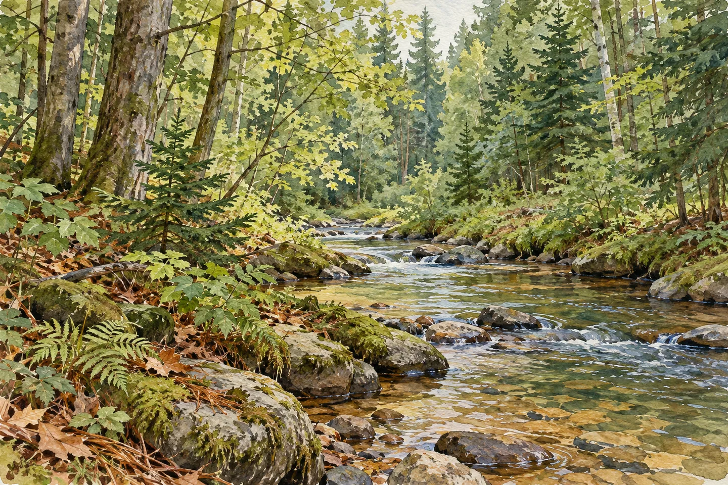
Orebed Creek runs north to south through the middle of the property. It provides a geographical thread through the forest and an opportunity for fishing, although DEC describes access as difficult because infrastructure is limited. The creek's presence gives the wooded landscape a center of a different kind from the plantations. Water moving through the property and trees established on it belong to the same setting, but a stream on the map does not supply a continuous maintained path beside it.
The documented hiking trail is 0.43 mile long and begins at the end of Ritz Road. It offers a defined route within a forest otherwise characterized by large undeveloped areas. Use the current official map to understand that short trail and its relationship to the chosen starting point. Its length describes this particular walking feature, rather than the full extent of public land available for other permitted recreation.
Orebed Creek's combination of a concise route and a substantial planting history makes attention more useful than distance alone. The 1937 species list, the experimental western white pine and the accompanying fireline work describe an active beginning for the forest. The creek supplies the enduring geographical connection through it. A visit can hold those threads together while choosing its scale according to the actual access, allowing a modest woodland outing to carry a much more particular story.
Fun facts
- CCC crews from Camp S-134 planted more than 546,000 trees on 495 acres here in 1937.
- Eastern white pine, red pine and white spruce were major planting species.
- An experimental planting of western white pine was included in the program.
- Orebed Creek runs north to south through the 791-acre property, which has a 0.43-mile trail at Ritz Road.
Before you go
- Use the current map to locate the short Ritz Road hiking trail.
- Treat the historical fireline mileage separately from present recreation routes.
- Account for limited creek access rather than assuming a maintained waterside path.
Capture
- Look for visible differences in woodland structure without claiming that every stand dates from 1937.
- Photograph creek habitat only from legitimate accessible ground.
- Keep illustrations general rather than recreating an exact plantation, experimental specimen or historical crew.
 Michigan Hill State Forest
 R. Milton Hick Memorial State Forest
 Raymondville State Forest
Social
Orebed Creek State Forest has a well-documented 1937 planting story. #Cre8Travel
CCC crews planted more than 546,000 trees across 495 acres.
White pine, red pine and white spruce were prominent choices.
An experimental western white pine planting adds a distinctive detail to the record.
The same year brought 2.5 miles of fireline clearing and maintenance.
Orebed Creek crosses the property north to south, with limited developed access.
A 0.43-mile trail begins at the end of Ritz Road.
Connect the short walk with the larger forestry history. This 791-acre woodland has a specific story behind its trees.
Hashtags